MyTopo
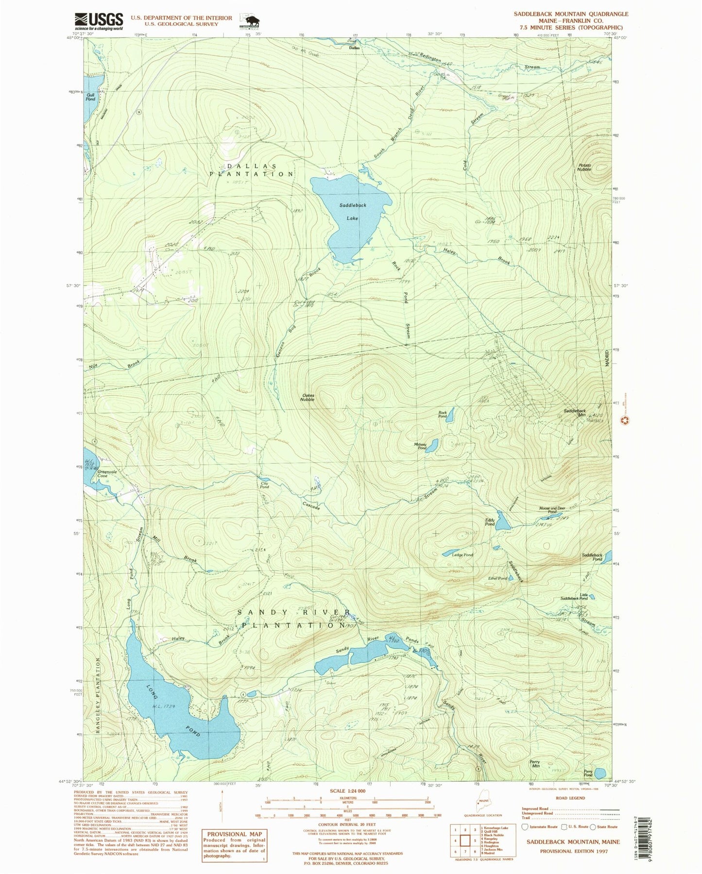
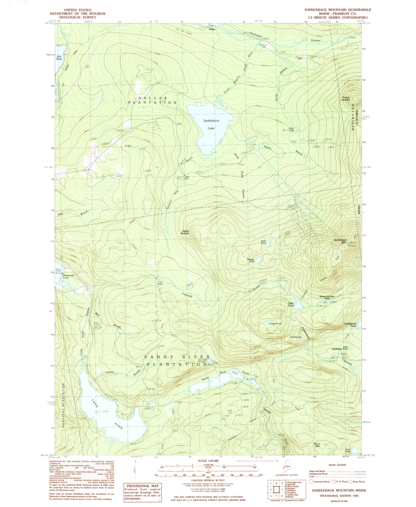
Classic USGS Saddleback Mountain Maine 7.5'x7.5' Topo Map
Couldn't load pickup availability
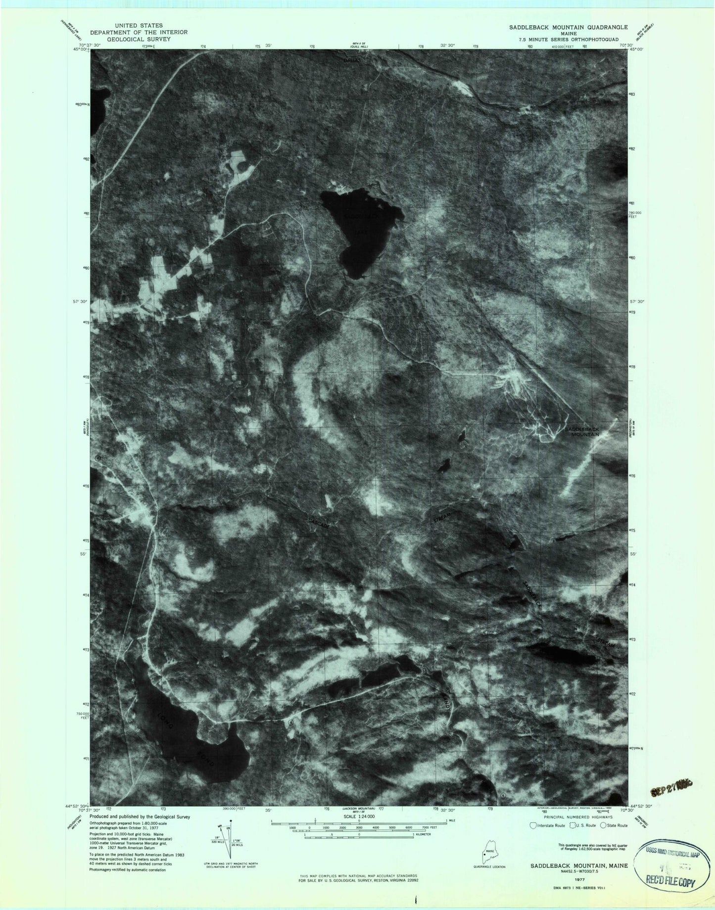
Historical USGS topographic quad map of Saddleback Mountain in the state of Maine. Typical map scale is 1:24,000, but may vary for certain years, if available. Print size: 24" x 27"
This quadrangle is in the following counties: Franklin.
The map contains contour lines, roads, rivers, towns, and lakes. Printed on high-quality waterproof paper with UV fade-resistant inks, and shipped rolled.
Contains the following named places: Cascade Stream, City Pond, Cold Stream, Eddy Pond, Ethel Pond, Flagg Dam, Geneva Bog Brook, Greenvale School, Haley Brook, Haley Brook, Ledge Pond, Little Saddleback Pond, Long Pond, Long Pond Stream, Midway Pond, Mill Brook, Moose and Deer Pond, Oakes Nubble, Perry Mountain, Perry Pond, Potato Nubble, Redington Stream, Rock Pond, Rock Pond Stream, Saddleback Lake, Saddleback Mountain, Sandy River Ponds, Dallas, Plantation of Dallas, Plantation of Sandy River, Dead River Dam, City Pond Dam, Piazza Rock, Piazza Rock Trail, Saddleback Ski Area, Brooks Cemetery, Oakes Peary Cemetery, Cascade Stream, City Pond, Cold Stream, Eddy Pond, Ethel Pond, Flagg Dam, Geneva Bog Brook, Greenvale School, Haley Brook, Haley Brook, Ledge Pond, Little Saddleback Pond, Long Pond, Long Pond Stream, Midway Pond, Mill Brook, Moose and Deer Pond, Oakes Nubble, Perry Mountain, Perry Pond, Potato Nubble, Redington Stream, Rock Pond, Rock Pond Stream, Saddleback Lake, Saddleback Mountain, Sandy River Ponds, Dallas, Plantation of Dallas, Plantation of Sandy River, Dead River Dam, City Pond Dam, Piazza Rock, Piazza Rock Trail, Saddleback Ski Area, Brooks Cemetery, Oakes Peary Cemetery