MyTopo
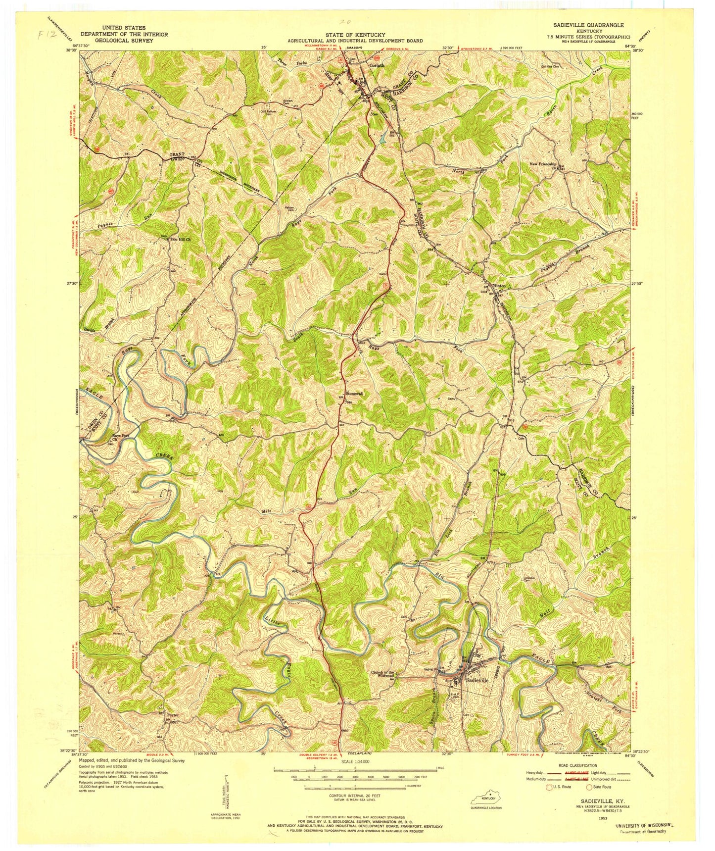
Classic USGS Sadieville Kentucky 7.5'x7.5' Topo Map
Couldn't load pickup availability
Historical USGS topographic quad map of Sadieville in the state of Kentucky. Map scale may vary for some years, but is generally around 1:24,000. Print size is approximately 24" x 27"
This quadrangle is in the following counties: Grant, Harrison, Owen, Scott.
The map contains contour lines, roads, rivers, towns, and lakes. Printed on high-quality waterproof paper with UV fade-resistant inks, and shipped rolled.
Contains the following named places: Arrowhead Lake, City of Corinth, City of Sadieville, Corinth, Corinth Post Office, Corinth Volunteer Fire Department, Ecklers Cemetery, Elk Lick Branch, Gillespie Cemetery, Hall Branch, Hinton, Knights of Pithias Cemetery, Leaning Oak, Little Eagle Creek, Mallorys Mill Post Office, Mile Run, Nelson Cemetery, New Friendship Church, North Rays Fork, Old New Cemetery, Porter, Rays Fork, Rays Fork Church, Sadieville, Sadieville Police Department, Sadieville Post Office, Scott County Fire Department Station 2, South Rays Fork, Spoon Branch, Stonewall, Straight Fork, Wild Deer Lake, Zion Hill Church, Zion Hill Church Cemetery, ZIP Codes: 40370, 41010


