MyTopo
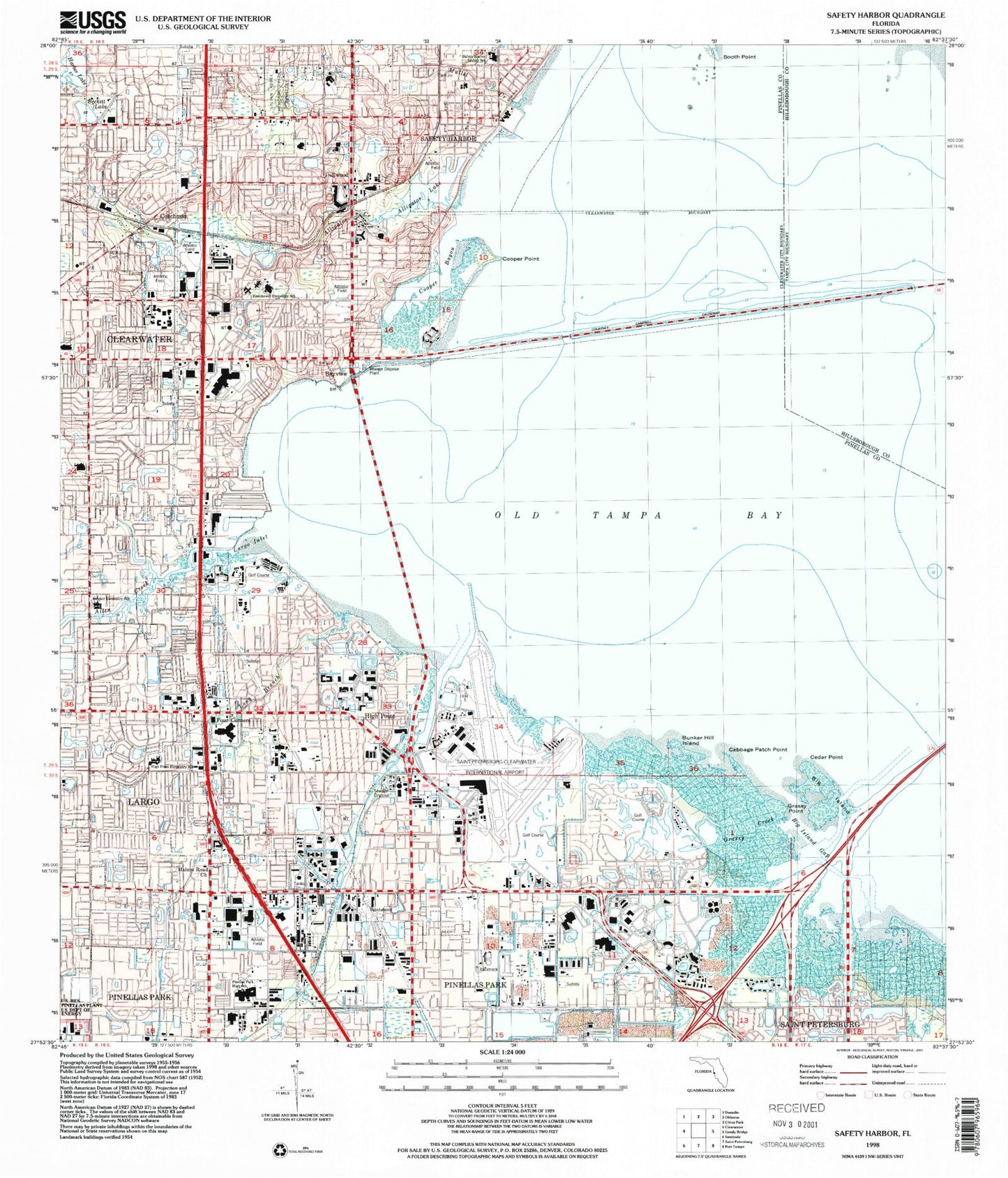
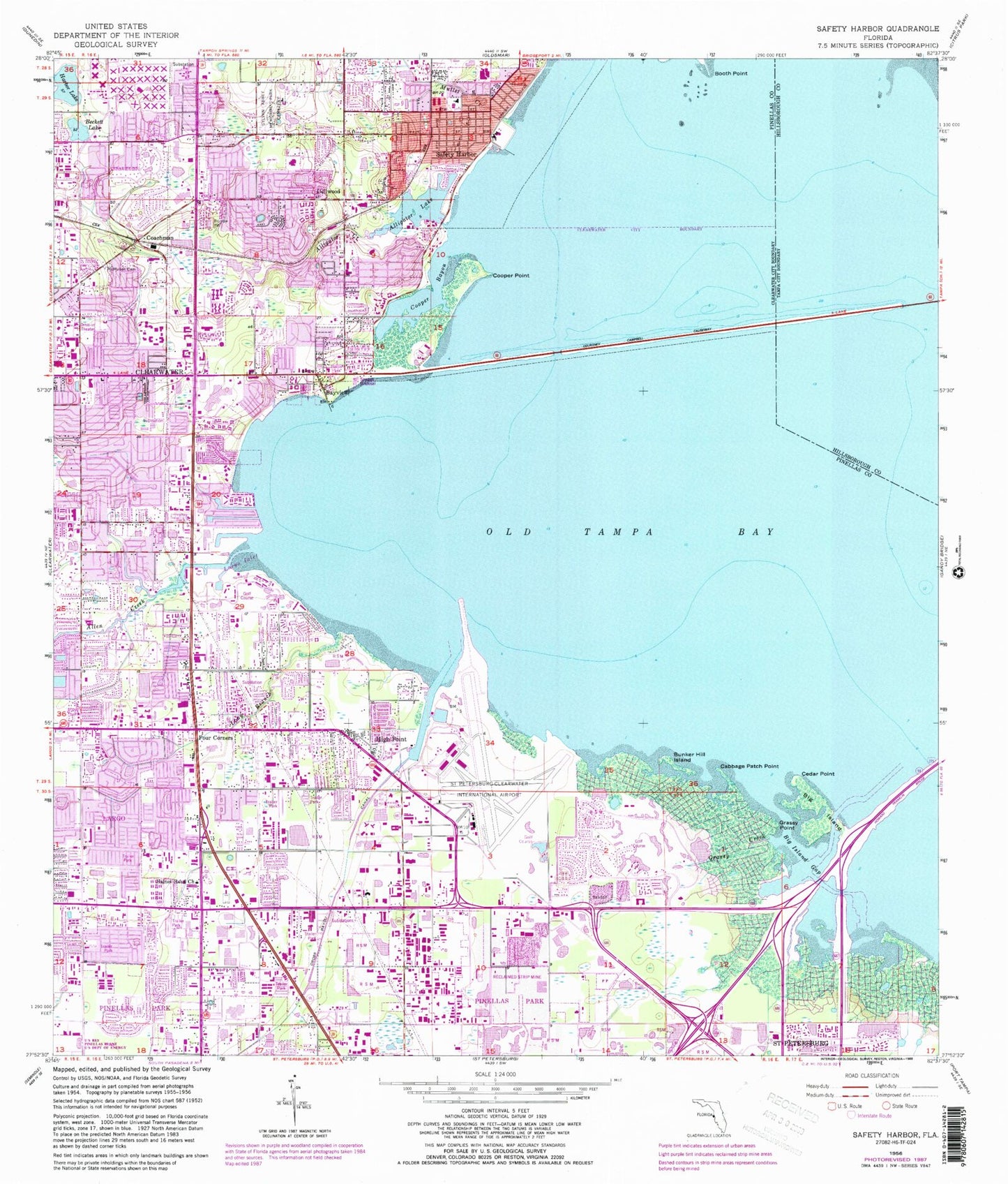
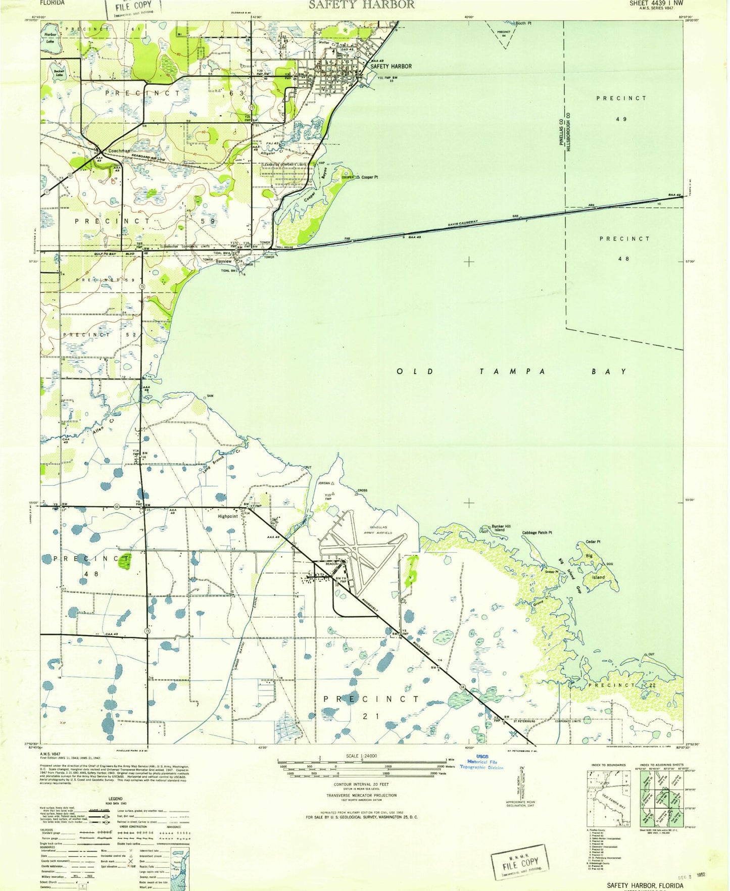
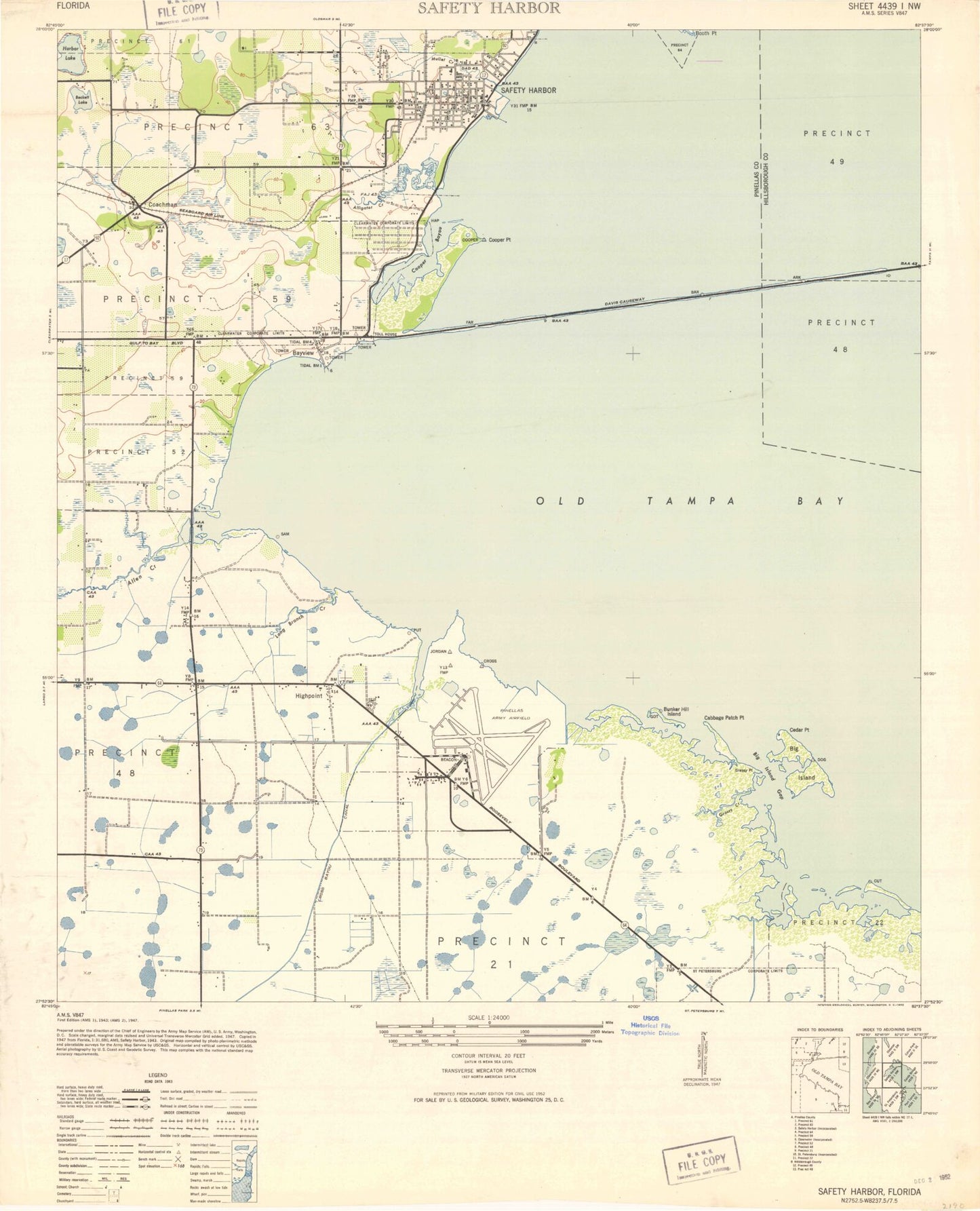
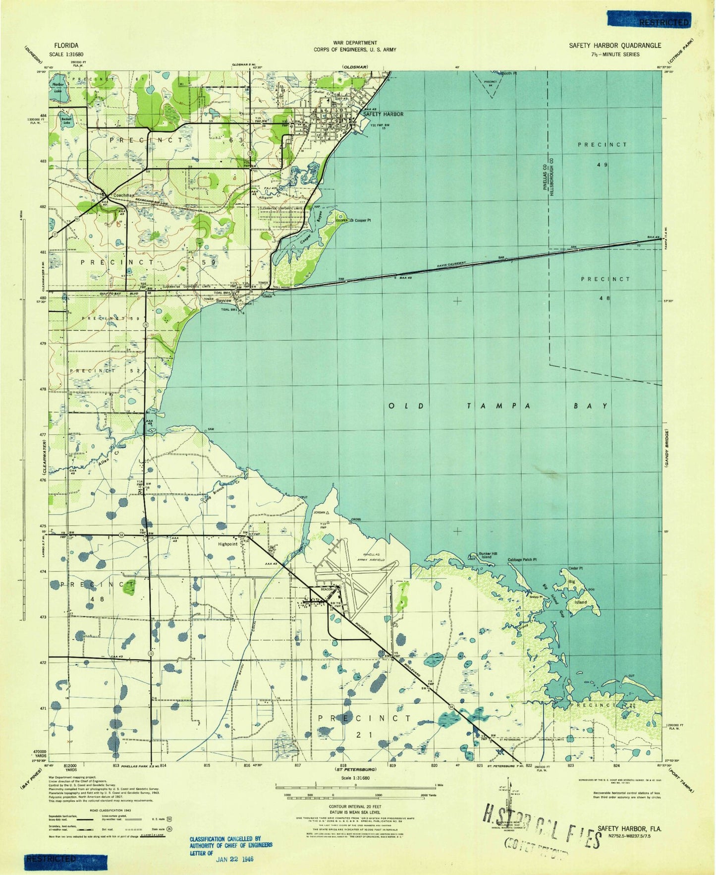
Classic USGS Safety Harbor Florida 7.5'x7.5' Topo Map
Couldn't load pickup availability
Historical USGS topographic quad map of Safety Harbor in the state of Florida. Map scale may vary for some years, but is generally around 1:24,000. Print size is approximately 24" x 27"
This quadrangle is in the following counties: Hillsborough, Pinellas.
The map contains contour lines, roads, rivers, towns, and lakes. Printed on high-quality waterproof paper with UV fade-resistant inks, and shipped rolled.
Contains the following named places: Air Ambulance Worldwide, Air Medical Doctor Ambulance, Allen Creek, Alligator Creek, Alligator Lake, Alligator Park, Arbor Office Park Heliport, Art Park, Assembly of God Church, Aurora Aeromedical Services, Bahai Center of Clearwater, Baranoff Park, Bayshore Linear Greenway Recreation Trail, Bayview, Bayview Park, Beckett Lake, Belcher Elementary School, Bible Fellowship Church, Big Island, Big Island Gap, Booth Point, Bosnian Muslim Mosque, Bright House Field, Buddhist Meditation Center, Bunker Hill Island, Cabbage Patch Point, Carpenter Field, Cedar Point, City of East Clearwater Wastewater Treatment Facility, Clearwater Christian Church, Clearwater Fire and Rescue Station 48, Clearwater Fire and Rescue Station 49, Clearwater Police Department Wood Valley Community Substation, Clearwater Post Office, Cliff Stephens Park, Coachman, Coachman Ridge Park, Community Center, Cooper Bayou, Cooper Bayou Park, Cooper Point, Coopers Point Nature Park, Countryside Christian Academy, Countryside Christian Center, Courtney Campbell Parkway, Daisy Douglas Park, Del Oro Park, Dellwood, E. C. Moore Complex (1 - 7), E. C. Moore Fields (8 - 9), East Bay Plaza, Eisenhower Elementary School, Feather Sound, Feather Sound Census Designated Place, Federal Bureau of Investigation - Pinellas Resident Agency, First Christian Church, First Presbyterian Church of Safety Harbor, Florida Beacon Bible College, Florida Sheriff Youth Ranch Learning Center, Four Corners, Frontier Elementary School, Grassy Creek, Grassy Point, Haines Road Church, Harbor Lake, Henry L McMullen Tennis Complex, High Point, High Point Elementary School, High Point Post Office, Highpoint, House of Prayer, Ian Tilmann Skatepark, Joe Dimaggio Fields, John Wilson Park, Johnson Heliport, Kapok Park, Lake Patricia, Largo Fire Rescue Station 38, Largo Fire Rescue Station 40, Largo Fire Rescue Station 42, Largo Inlet, Long Branch, Long Center, Marbrisa Air Ambulance, Marina Park, McMullen - Booth Elementary School, McMullen Cemetery, Moccasin Lake Nature Park, Morgan Fitzgerald Middle School, Morningside Recreation Complex, Mullet Creek, Northeast Coachman Park, Northeast Shopping Center, Oak Grove Middle School, Our Lady of Divine Providence Retreat Ministries, Paul B Stephens School, Pinebrook Park, Pinellas Army Air Field, Pinellas County Criminal Administration, Pinellas County Jail, Pinellas County Mosquito Control Heliport, Pinellas County Sheriff's Office, Pinellas Juvenile Detention Center School, Pinellas Park Fire Department Station 21, Pinellas Park Fire Department Station 35, Pinellas Park High School, Pinellas Vocational Technical Institute, Primera Iglesia Metodista, Rigsby Recreation Center, Safety Harbor, Safety Harbor City Park, Safety Harbor Dog Park, Safety Harbor Elementary School, Safety Harbor Fire Department, Safety Harbor Middle School, Safety Harbor Post Office, Saint Petersburg Fire Department Station 14, Saint Petersburg Gospel Assembly Church, Salls Lake 1 and 2, Serendipity Plaza, South Highpoint, South Highpoint Census Designated Place, St Pete-Clearwater International Airport, Sunset Road Playfield, Sunset-19 Shopping Center, Sylvan Abbey Memorial Park Cemetery, Town Place Park, Tri-City Plaza, U S 19 Soccer Practice Fields, Uilmerton Pointe Plaza, Unitarian Universalist Church, Vineyard Church of Clearwater, Welch Center, WGUL-AM (Dunedin), ZIP Codes: 33716, 33759, 33760, 33762, 33764, 33765
