MyTopo
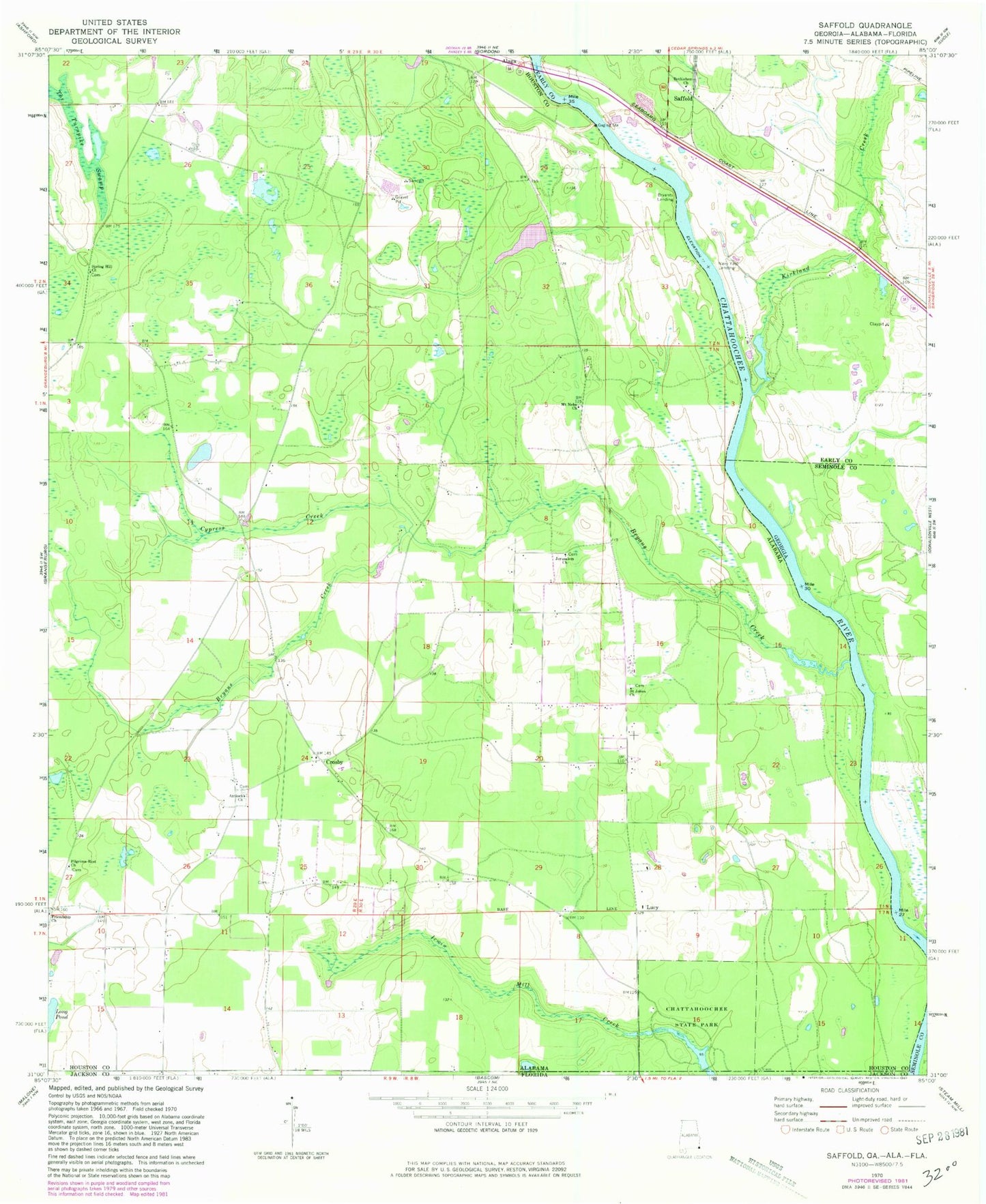
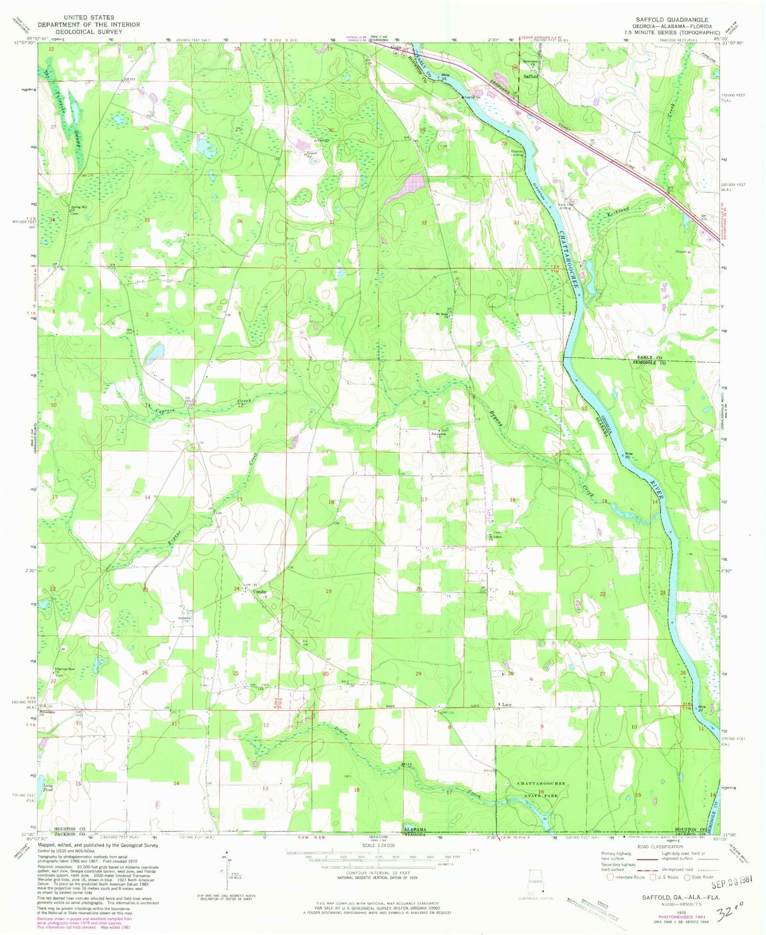
Classic USGS Saffold Georgia 7.5'x7.5' Topo Map
Couldn't load pickup availability
Historical USGS topographic quad map of Saffold in the states of Georgia, Alabama. Map scale may vary for some years, but is generally around 1:24,000. Print size is approximately 24" x 27"
This quadrangle is in the following counties: Early, Houston, Jackson, Seminole.
The map contains contour lines, roads, rivers, towns, and lakes. Printed on high-quality waterproof paper with UV fade-resistant inks, and shipped rolled.
Contains the following named places: Antioch Church, Bethlehem Church, Billy Byrd Dam, Bryans Creek, Bryants Landing, Chandler Ferry, Chandlers Ferry, Chattahoochee State Park, Crosby, Crosby School, Cypress Creek, Ely Landing, Evans Store, Friendship Church, Gordon Division, Jeffcoat School, Jerusalem Church, Kirkland Creek, Longs Store, Lucy, Lucy Fire Rescue, Lucy School, Mount Nebo Church, Navy Yard Landing, Perry Landing, Pilgrims Rest Church, Saffold, Saint Johns Church, Sawhatchee Creek, Spring Hill Freewill Baptist Church, The Turnpike Swamp, Whitehead School, Willoughby Landing, ZIP Code: 36343