MyTopo
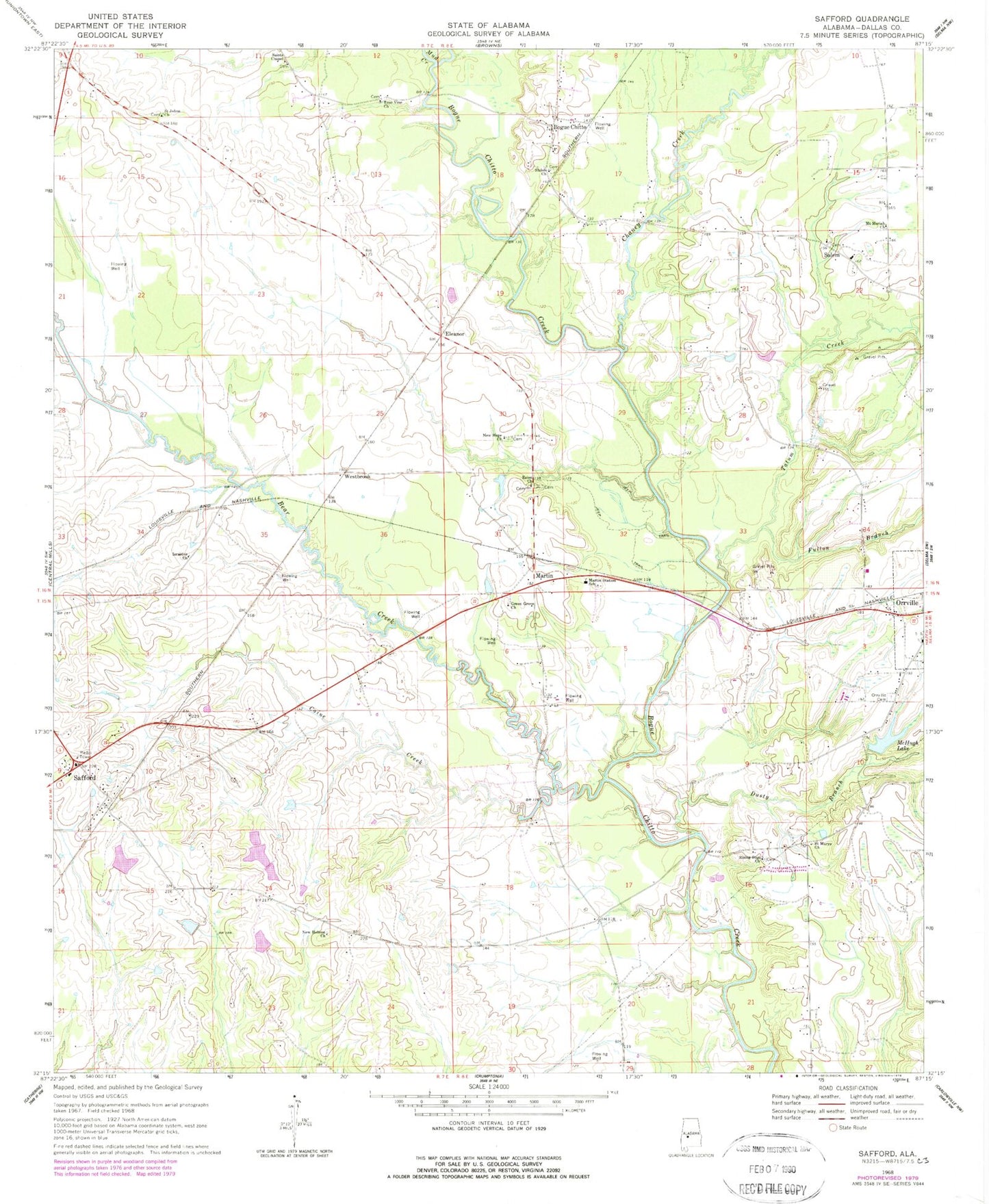
Classic USGS Safford Alabama 7.5'x7.5' Topo Map
Couldn't load pickup availability
Historical USGS topographic quad map of Safford in the state of Alabama. Map scale may vary for some years, but is generally around 1:24,000. Print size is approximately 24" x 27"
This quadrangle is in the following counties: Dallas.
The map contains contour lines, roads, rivers, towns, and lakes. Printed on high-quality waterproof paper with UV fade-resistant inks, and shipped rolled.
Contains the following named places: Azion Baptist Church, Baptist Hospital, Barnes Cemetery, Bear Creek, Bogue Chitto, Brookwood, Caine Creek, Chaney Creek, Dusty Branch, E Ables Lake, E Ables Lake Dam, Eleanor, Fulton Branch, Green Grove Church, Israelite Church, Kendricks Branch, Martin, Martin Station School, Martins Station Cemetery, McHugh Lake, McHugh Lake Dam, Mount Moriah Church, Mud Creek, New Hebron Church, New Hope Cemetery, New Hope Church, Orrville Amish Mennonite Church, Orrville Cemetery, Rising Star Church, Safford, Safford Church, Safford Community Volunteer Fire Department, Safford Division, Safford Post Office, Saint John Cemetery, Saint Johns Church, Saint Marys Church, Saint Pauls Church, Saints Chapel, Salem, Salem Cemetery, Salem Elementary School, Salem Primitive Baptist Church, Sanctified Church, Shiloh Church, Tatum Creek, True Vine Church, Westbrook, ZIP Code: 36773