MyTopo
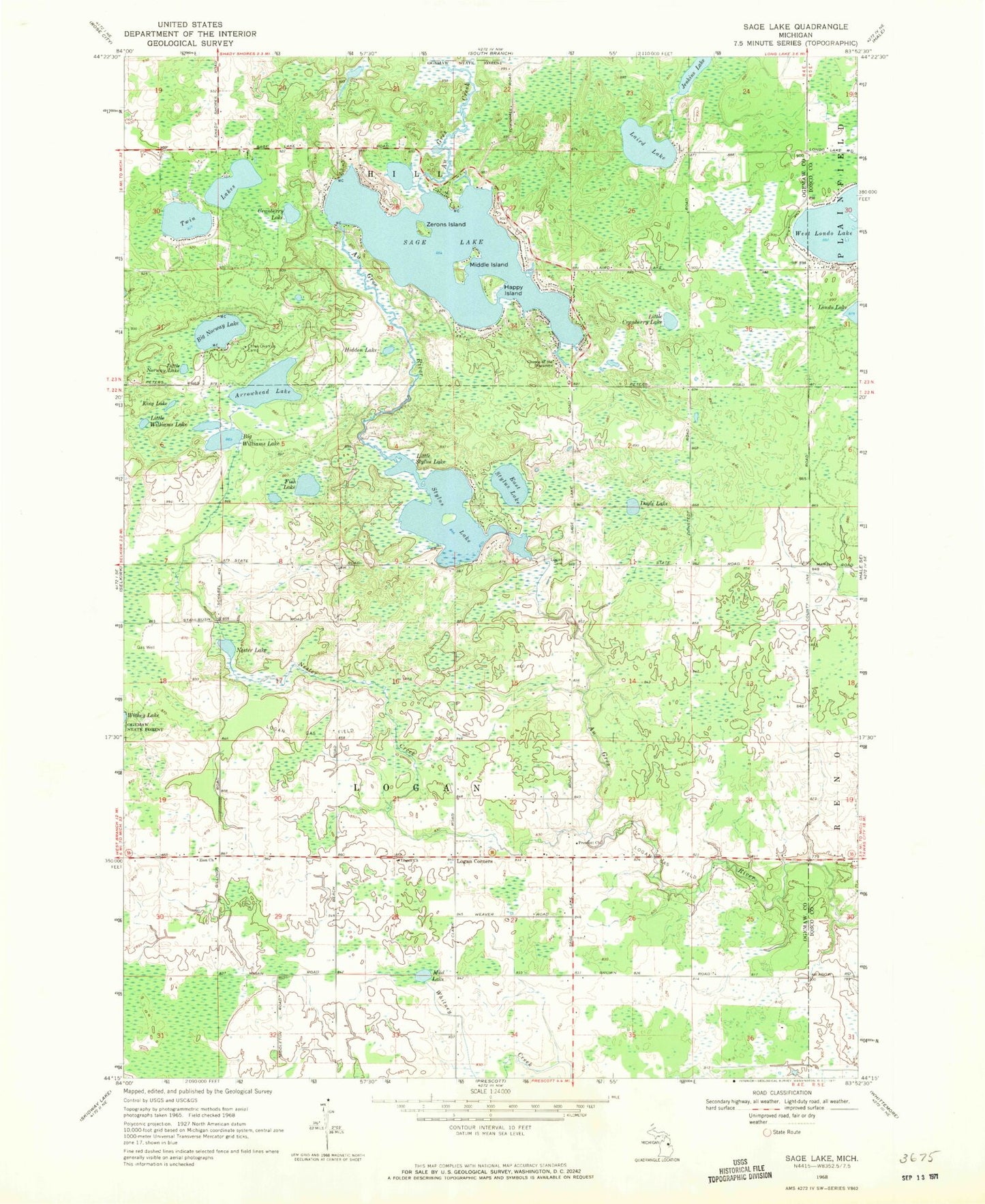
Classic USGS Sage Lake Michigan 7.5'x7.5' Topo Map
Couldn't load pickup availability
Historical USGS topographic quad map of Sage Lake in the state of Michigan. Map scale may vary for some years, but is generally around 1:24,000. Print size is approximately 24" x 27"
This quadrangle is in the following counties: Iosco, Ogemaw.
The map contains contour lines, roads, rivers, towns, and lakes. Printed on high-quality waterproof paper with UV fade-resistant inks, and shipped rolled.
Contains the following named places: Arrowhead Lake, Au Gres Creek, Big Norway Lake, Big Williams Lake, Chief Okemus Camp, Cranberry Lake, Doyle Lake, East Stylus Lake, Edgewood Greens Golf Course, Fish Lake, Greenbriar Golf Course, Happy Island, Hidden Lake, Jenkins Lake, King Lake, Laird Lake, Little Cranberry Lake, Little Norway Lake, Little Stylus Lake, Little Williams Lake, Logan Cemetery, Logan Church, Logan Corners, Logan Gas Field, Lost Valley Campgrounds, Middle Island, Mud Lake, Nester Creek, Nester Lake, Nester Post Office, Prescott Church, Sage Lake, Stylus Lake, Township of Logan, Twin Lakes, West Londo Lake, Zerons Island, Zion Church