MyTopo
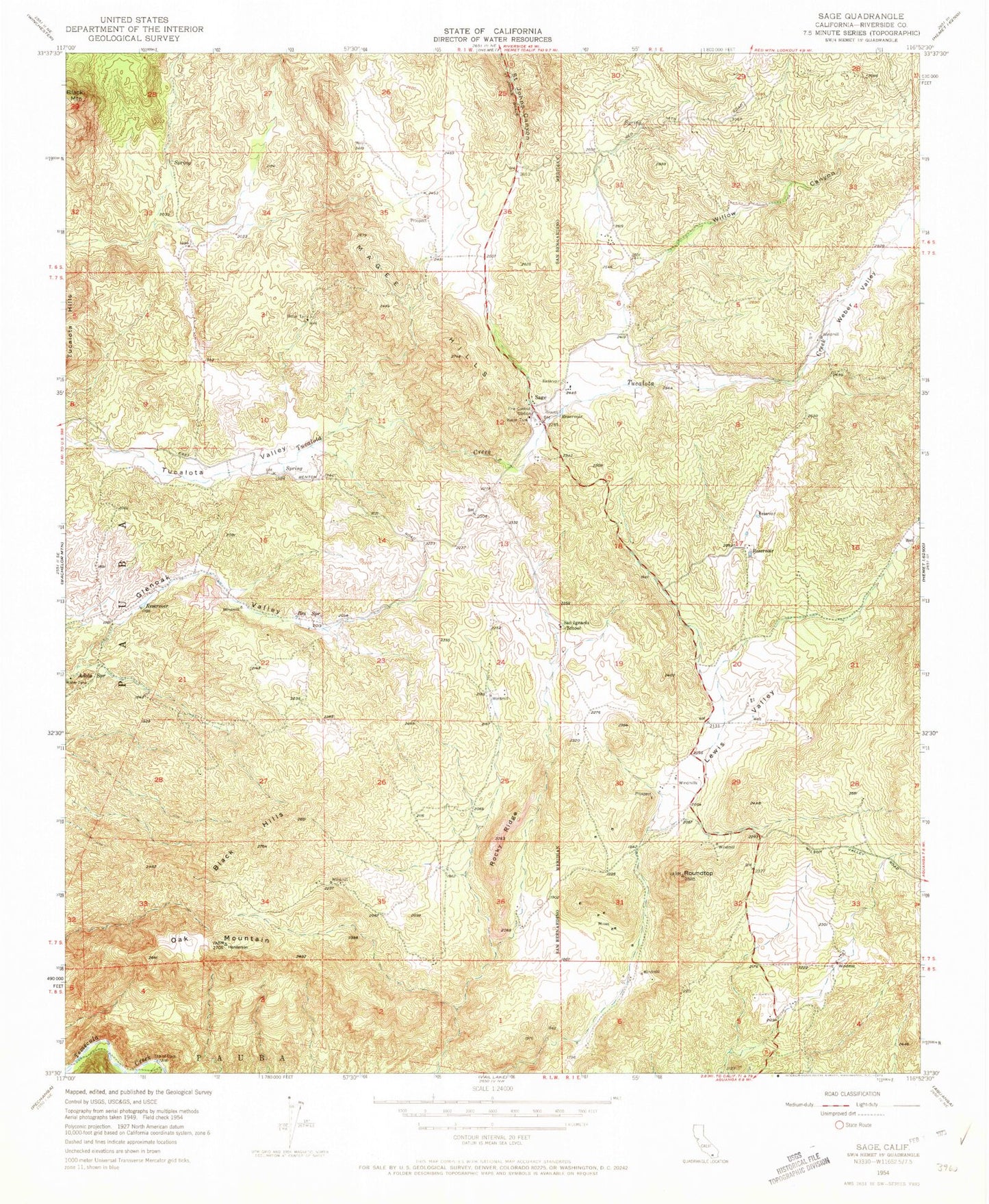
Classic USGS Sage California 7.5'x7.5' Topo Map
Couldn't load pickup availability
Historical USGS topographic quad map of Sage in the state of California. Map scale may vary for some years, but is generally around 1:24,000. Print size is approximately 24" x 27"
This quadrangle is in the following counties: Riverside.
The map contains contour lines, roads, rivers, towns, and lakes. Printed on high-quality waterproof paper with UV fade-resistant inks, and shipped rolled.
Contains the following named places: Adobe Spring, Black Hills, Clark Ranch Airpark, Crossroads New Life Educational Ministries, Ernst Field, Glenoak Hills, Glenoak Hills Park, Glenoak Valley, Indian Oaks Campground, Lewis Valley, Oak Mountain, Oakridge Ranches, Red Mountain Christian School, Riverside County Fire Department Station 28 Sage, Rocky Ridge, Roundtop, Sage, Sage Census Designated Place, Saint Johns Grade, San Ignacio School, Sycamore Hills, Sycamore Springs, Tucalota Valley, Weber Valley, Willow Canyon