MyTopo
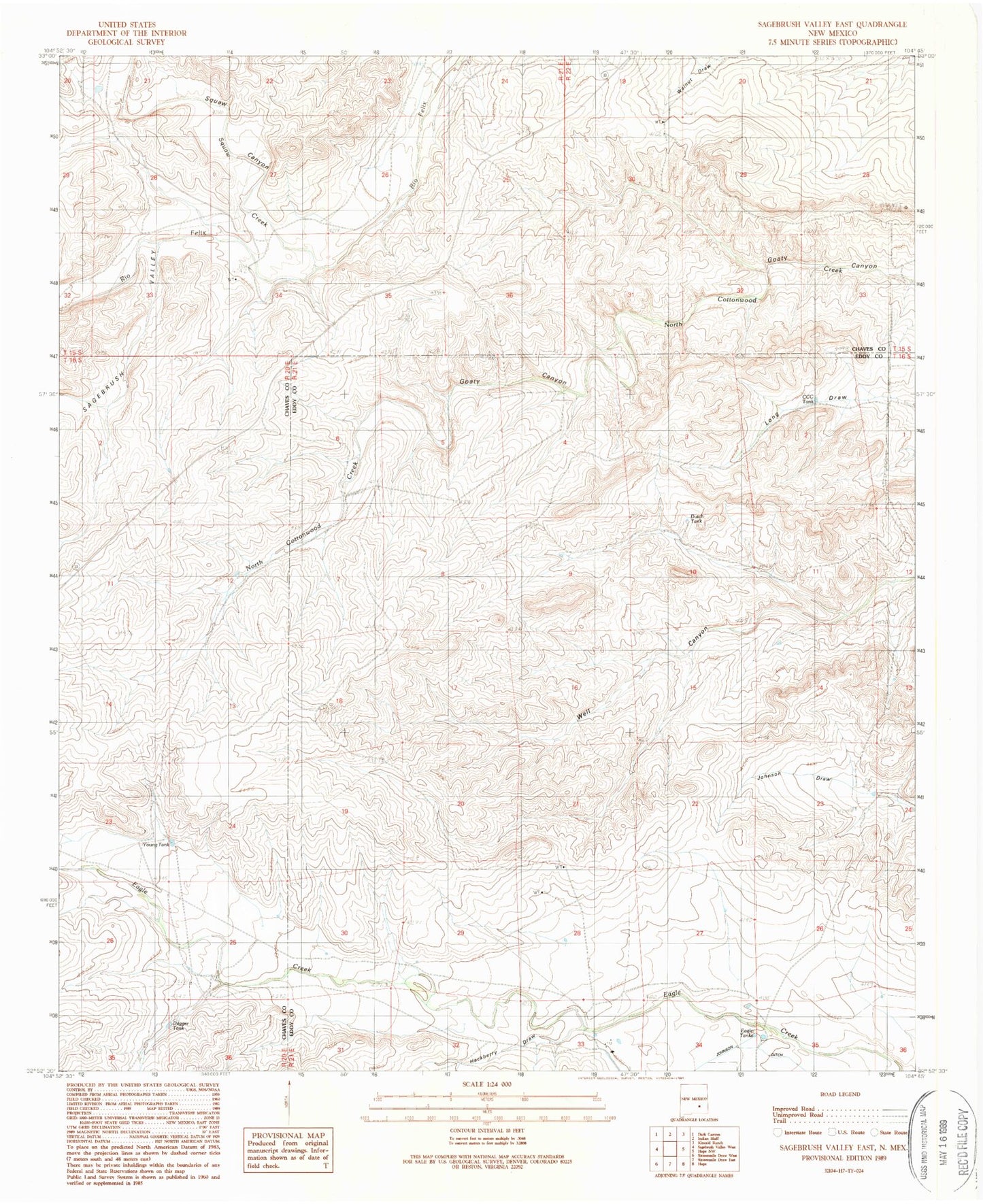
Classic USGS Sagebrush Valley East New Mexico 7.5'x7.5' Topo Map
Regular price
$16.95
Regular price
Sale price
$16.95
Unit price
per
Couldn't load pickup availability
Historical USGS topographic quad map of Sagebrush Valley East in the state of New Mexico. Map scale may vary for some years, but is generally around 1:24,000. Print size is approximately 24" x 27"
This quadrangle is in the following counties: Chaves, Eddy.
The map contains contour lines, roads, rivers, towns, and lakes. Printed on high-quality waterproof paper with UV fade-resistant inks, and shipped rolled.
Contains the following named places: CCC Tank, Dagger Tank, Dutch Tank, Eagle Tanks, Goaty Canyon, Hackberry Draw, Johnson Ditch, McAshan Ranch, Nester Well, Runyan Ranch, Sagebrush Valley, Squaw Canyon, Squaw Creek, Young Tank