MyTopo
Classic USGS Sagola Michigan 7.5'x7.5' Topo Map
Regular price
$16.95
Regular price
Sale price
$16.95
Unit price
per
Couldn't load pickup availability
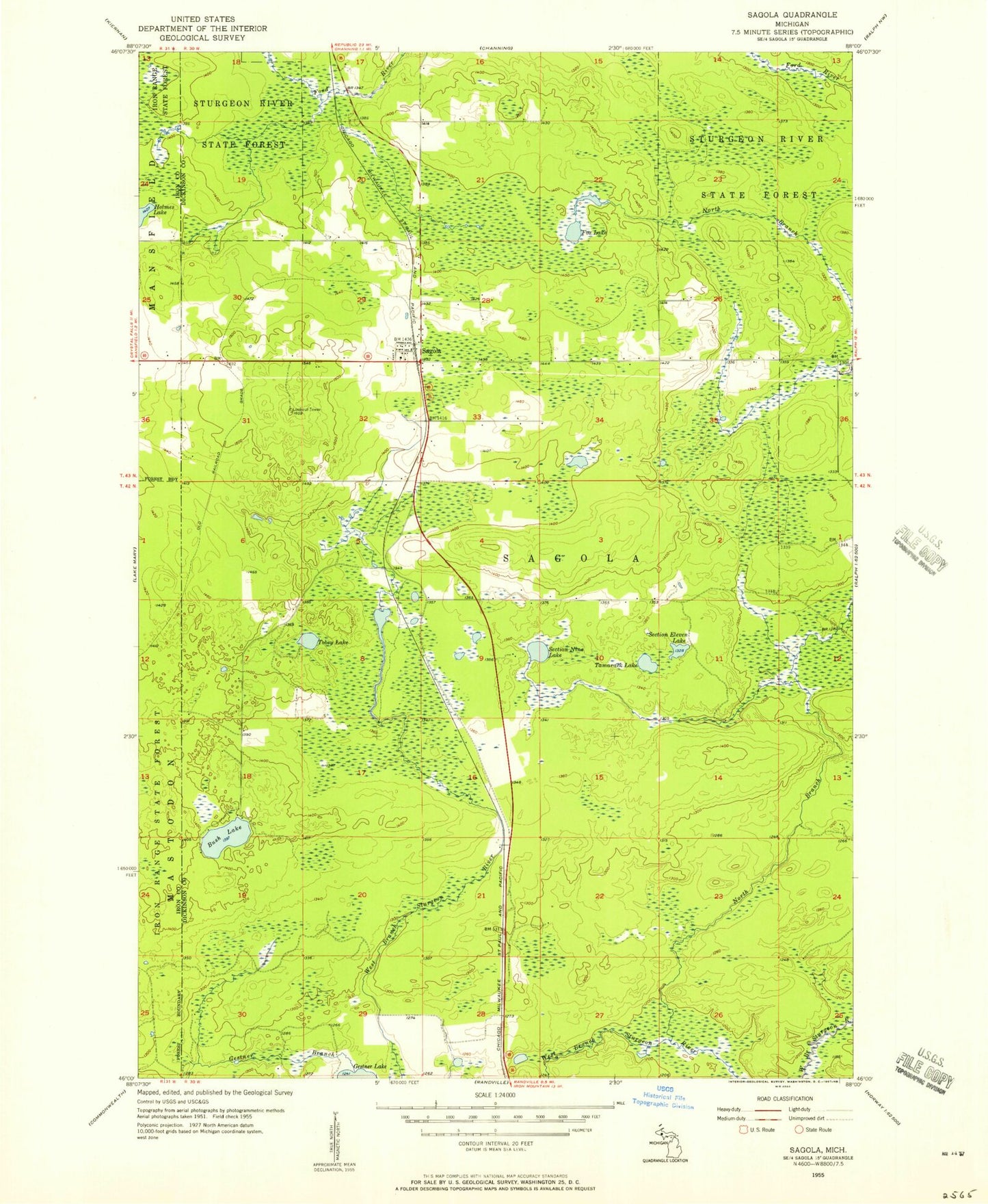
Historical USGS topographic quad map of Sagola in the state of Michigan. Map scale may vary for some years, but is generally around 1:24,000. Print size is approximately 24" x 27"
This quadrangle is in the following counties: Dickinson, Iron.
The map contains contour lines, roads, rivers, towns, and lakes. Printed on high-quality waterproof paper with UV fade-resistant inks, and shipped rolled.
Contains the following named places: Bush Lake, Fox Lake, Grace Presbyterian Church, North Branch Sturgeon River, Robbins Pond, Sagola, Sagola Post Office, Sagola Station, Section Eleven Lake, Section Nine Lake, Spirit Lake, Tamarack Lake, Tobey Lake, Township of Sagola, ZIP Code: 49881