MyTopo
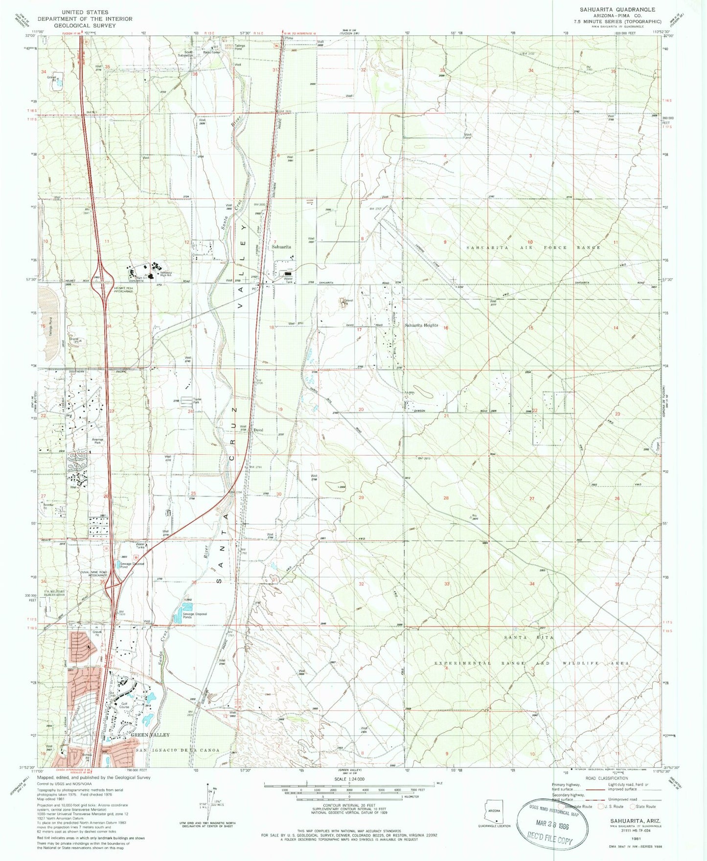
Classic USGS Sahuarita Arizona 7.5'x7.5' Topo Map
Couldn't load pickup availability
Historical USGS topographic quad map of Sahuarita in the state of Arizona. Map scale may vary for some years, but is generally around 1:24,000. Print size is approximately 24" x 27"
This quadrangle is in the following counties: Pima.
The map contains contour lines, roads, rivers, towns, and lakes. Printed on high-quality waterproof paper with UV fade-resistant inks, and shipped rolled.
Contains the following named places: Air Force Facility Missile Site 8, Anamax Park, Anza Trail School, Asarco Mineral Discovery Center, Cornerstone Baptist Church, Country Club of Green Valley, Duval, East Sahuarita, East Sahuarita Census Designated Place, Edge High School, First Assembly of God, Good Shepherd United Church of Christ, Great Expectations Academy, Green Valley Baptist Church, Green Valley Mortuary and Memorial Gardens, Green Valley Pueblo Estates, KEZG-FM (Green Valley), KGVY-AM (Green Valley), Los Arboles Mobile Home Park, Los Arroyos Shopping Center, Our Lady of the Valley Roman Catholic Church, Peace Evangelical Lutheran Church, Pear Tank, Pima, Pima County Public Library Joyner Green Valley Branch, Pima County Sheriff's Office Green Valley District, Pima County Wastewater Management Green Valley Nutrient Removal Facility, Quail Creek Country Club, Rural - Metro Fire Department Station 79, Sahuarita, Sahuarita Elementary School, Sahuarita Heights, Sahuarita Heights Mobile Home Park, Sahuarita High School, Sahuarita Intermediate School, Sahuarita Landfill, Sahuarita Middle School, Sahuarita Police Department, Sahuarita Post Office, Sahuarita Primary School, Sahuarita Railroad Station, Sahuarita Town Hall, Seventh Day Adventist Church of Green Valley, The Church of Jesus Christ of Latter Day Saints, Town of Sahuarita, Unity Church in Green Valley


