MyTopo
Classic USGS Said Valley California 7.5'x7.5' Topo Map
Couldn't load pickup availability
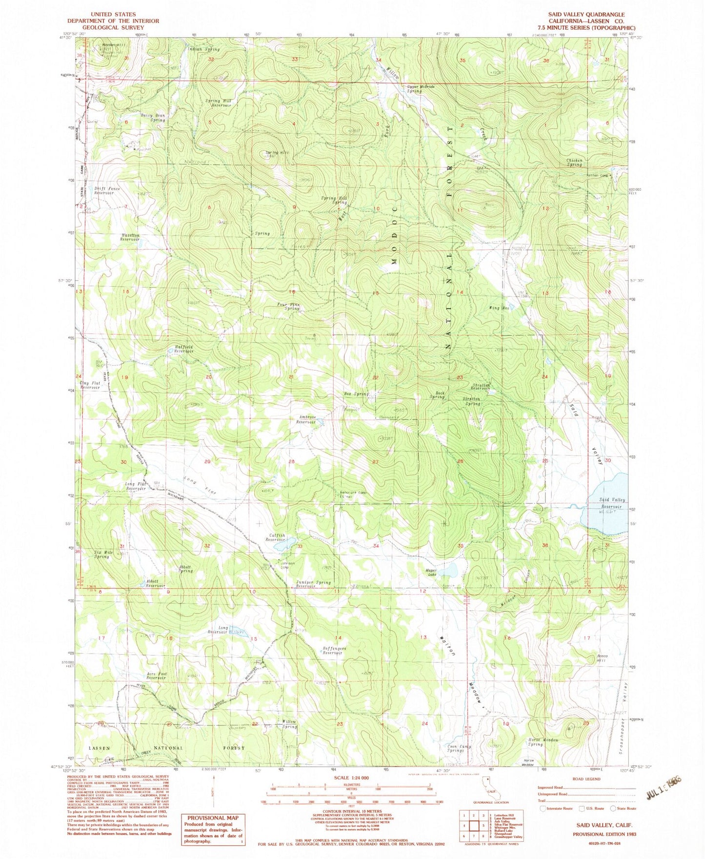
Historical USGS topographic quad map of Said Valley in the state of California. Map scale may vary for some years, but is generally around 1:24,000. Print size is approximately 24" x 27"
This quadrangle is in the following counties: Lassen.
The map contains contour lines, roads, rivers, towns, and lakes. Printed on high-quality waterproof paper with UV fade-resistant inks, and shipped rolled.
Contains the following named places: Abbott Reservoir, Abbott Spring, Acre Foot Reservoir, Ambrose Reservoir, Boffengers Reservoir, Bosco Hill, Box Spring, Catfish Reservoir, Chicken Spring, Clay Flat Reservoir, Coon Camp Spring, Dago Spring, Daisy Dean Spring, Drift Fence Reservoir, Four Pine Spring, Grasshopper Valley, Hatfield Reservoir, Hayden Hill, Hazelton Reservoir, Hencratt Camp, Horse Meadow, Horse Meadow Spring, Indian Spring, Italian Spring, Johnson Camp, Juniper Spring, Juniper Spring Reservoir, Long Flat, Long Flat Reservoir, Long Reservoir, Mapes Lake, Rock Spring, Said Valley, Said Valley Reservoir, Six Mile Spring, Spring Hill, Spring Hill Reservoir, Spring Hill Spring, Stratton Reservoir, Stratton Spring, Totten Camp, Upper McBride Spring, Walton Meadow, West Fork Willow Creek, Wildcat Canyon, Willow Spring, Wing Reservoir


