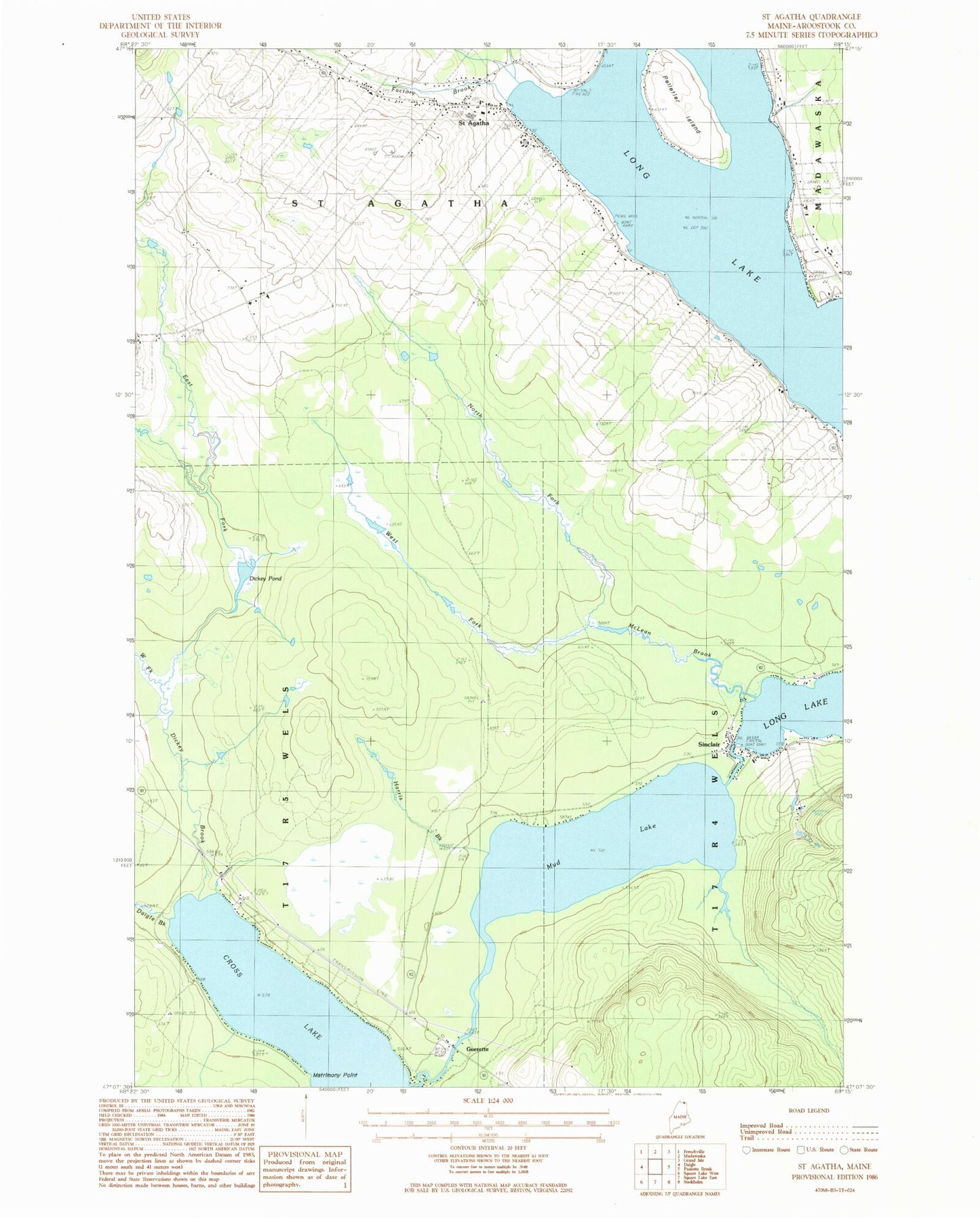
MyTopo
Classic USGS Saint Agatha Maine 7.5'x7.5' Topo Map
Couldn't load pickup availability
Historical USGS topographic quad map of Saint Agatha in the state of Maine. Map scale may vary for some years, but is generally around 1:24,000. Print size is approximately 24" x 27"
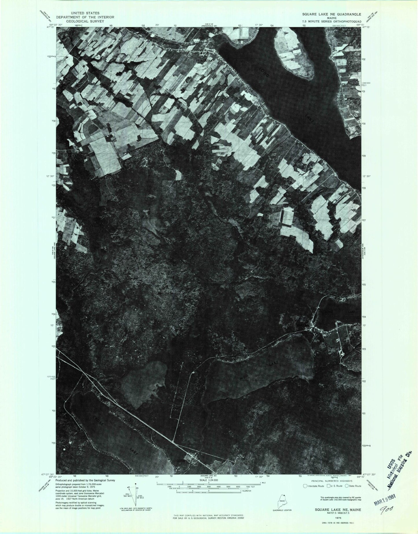
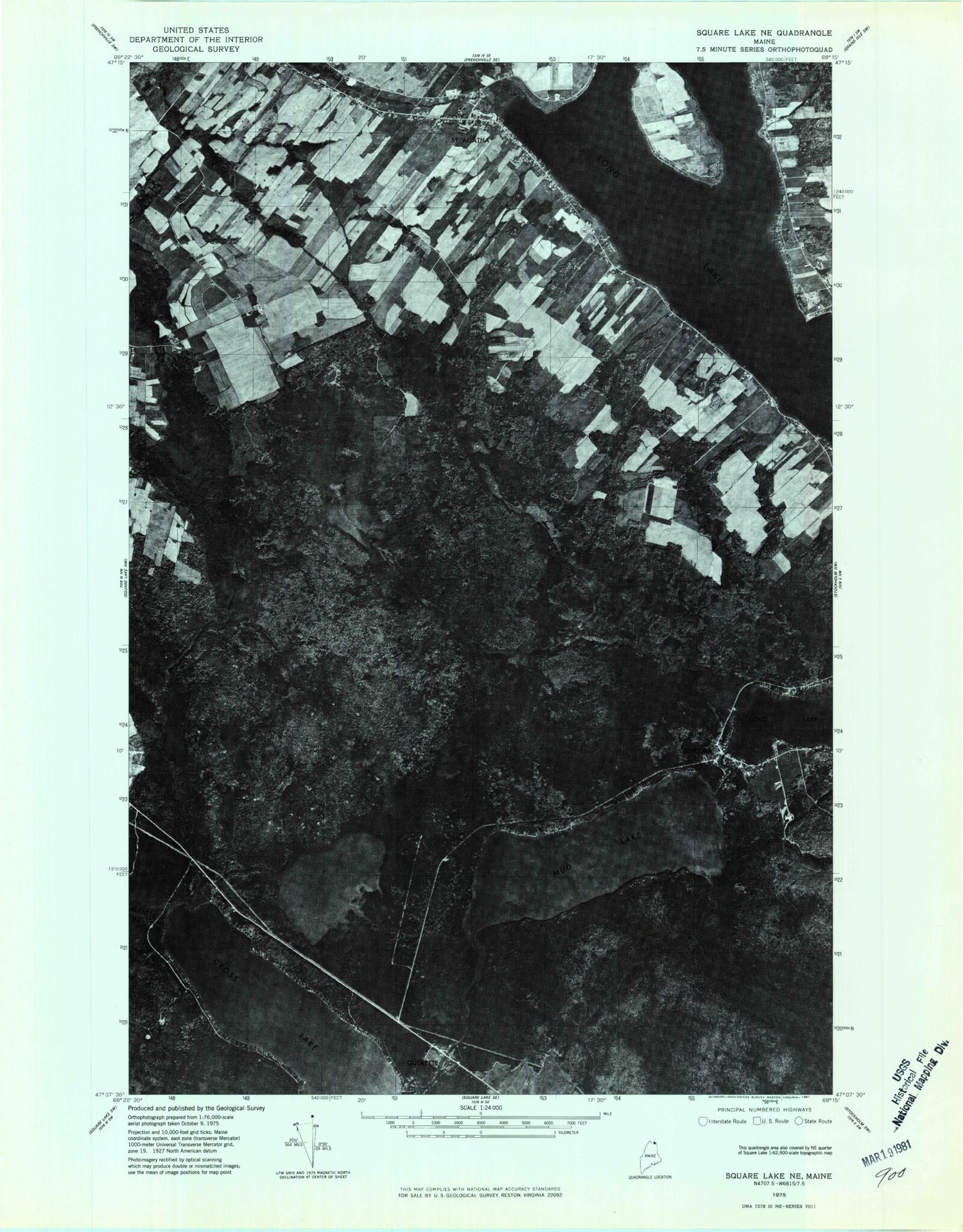
This quadrangle is in the following counties: Aroostook.
The map contains contour lines, roads, rivers, towns, and lakes. Printed on high-quality waterproof paper with UV fade-resistant inks, and shipped rolled.
Contains the following named places: Carriveau Mill, Cross Lake Seaplane Base, Cross Lake Township, Daigle Brook, Dickey Brook, Dickey Pond, East Fork Dickey Brook, Factory Brook, Guerette, Harris Brook, Long Lake Public Library, Lower Saint Agatha Cemetery, Matrimony Point, McLean Brook, Mud Lake, North Fork McLean Brook, North Lake Fire Rescue Cross Lake Substation, Patrick Therriault School, Red Arrow Snowmobile Club, Saint Agatha, Saint Agatha Cemetery, Saint Agatha Church, Saint Agatha Post Office, Saint Agatha Volunteer Fire Department, Saint Etropus Cemetery, Saint Joseph Cemetery, Saint Josephs Church, Sinclair, Sinclair Post Office, Town of Saint Agatha, Upper Saint Agatha Cemetery, West Fork Dickey Brook, West Fork McLean Brook, Wisdom Middle / High School, ZIP Code: 04772