MyTopo
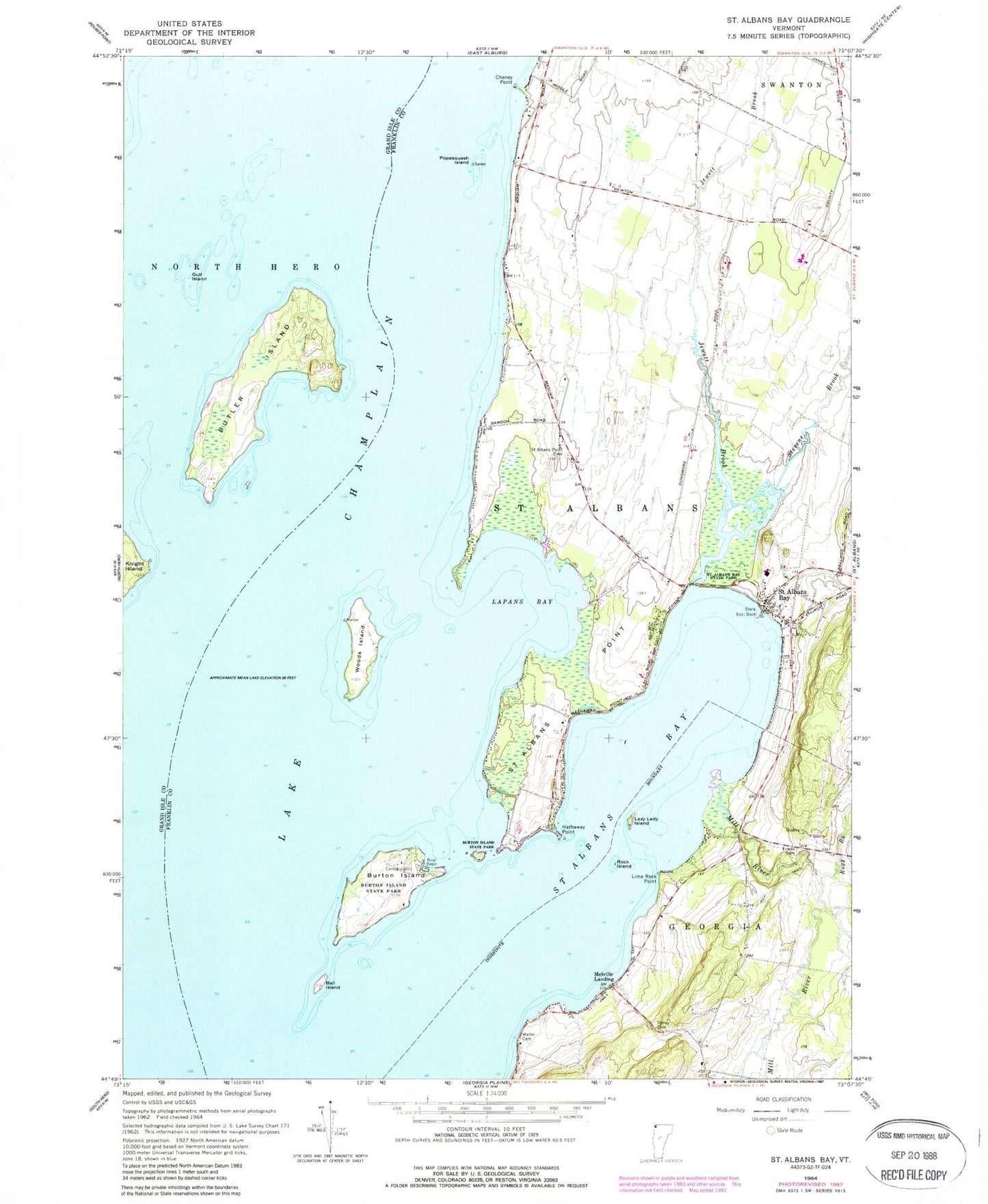
Classic USGS Saint Albans Bay Vermont 7.5'x7.5' Topo Map
Couldn't load pickup availability
Historical USGS topographic quad map of Saint Albans Bay in the state of Vermont. Map scale may vary for some years, but is generally around 1:24,000. Print size is approximately 24" x 27"
This quadrangle is in the following counties: Franklin, Grand Isle.
The map contains contour lines, roads, rivers, towns, and lakes. Printed on high-quality waterproof paper with UV fade-resistant inks, and shipped rolled.
Contains the following named places: Ball Island, Burtland Farms, Burton Island, Burton Island State Park, Burton Island State Park Nature Center, Butler Island, Cheney Point, Eagle Bay, Evarts Cemetery, Gull Island, Hathaway Point, Hurlbut Cemetery, Island Farm Nature Trail, Jewett Brook, Kamp Kill Kare, Killkare State Park, Knight Island State Park, Lapans Bay, Lazy Lady Island, Lime Rock Point, Melville Landing, Mill River, North Shore Trail, Northwest State Correctional Facility - Swanton, Popasquash Island, Rock Island, Rugg Brook, Saint Albans Bay, Saint Albans Bay Post Office, Saint Albans Bay State Park, Saint Albans Point, Saint Albans Point Cemetery, Southern Tip Trail, Stevens Brook, Torrey Cemetery, Town of Saint Albans, West Shore Trail, Woods Island, Woods Island State Park, ZIP Code: 05481


