MyTopo
Classic USGS Saint Andrews Bay Alabama 7.5'x7.5' Topo Map
Regular price
$16.95
Regular price
Sale price
$16.95
Unit price
per
Couldn't load pickup availability
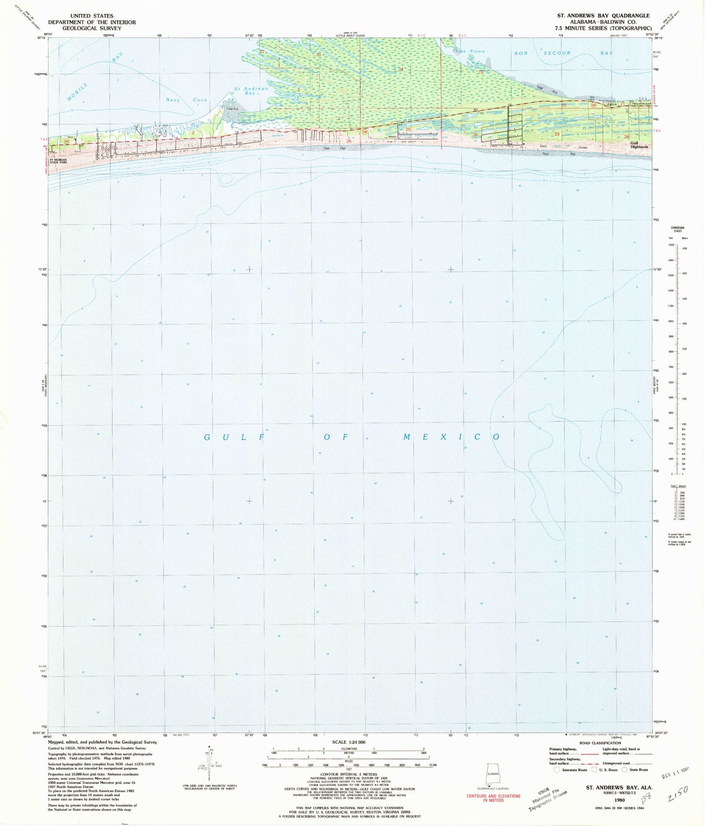
Historical USGS topographic quad map of Saint Andrews Bay in the state of Alabama. Map scale may vary for some years, but is generally around 1:24,000. Print size is approximately 24" x 27"
This quadrangle is in the following counties: Baldwin.
The map contains contour lines, roads, rivers, towns, and lakes. Printed on high-quality waterproof paper with UV fade-resistant inks, and shipped rolled.
Contains the following named places: Fort Morgan Peninsula, Gulf Highlands, Hog Bayou, Kiva Dunes Golf Course, Navy Cove, Pilot Town, Saint Andrews Bay, The Spit, Three Rivers