MyTopo
Classic USGS Saint Catherines Sound Georgia 7.5'x7.5' Topo Map
Couldn't load pickup availability
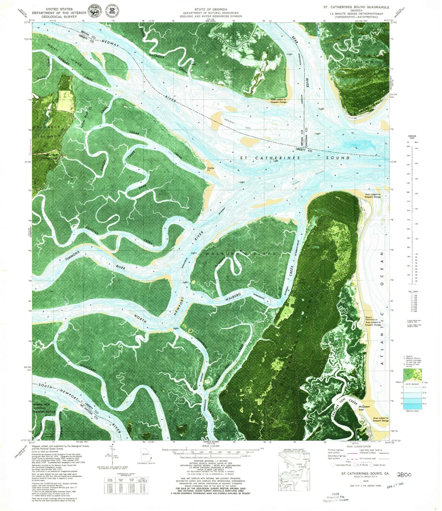
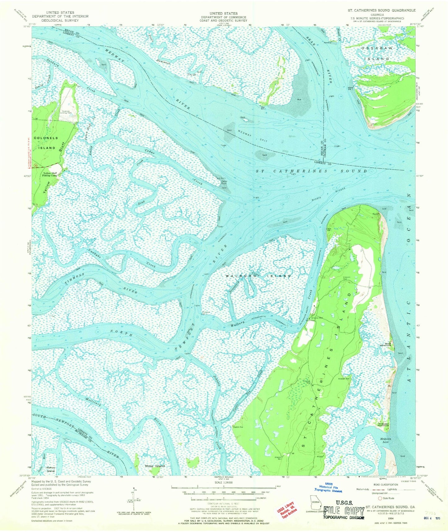
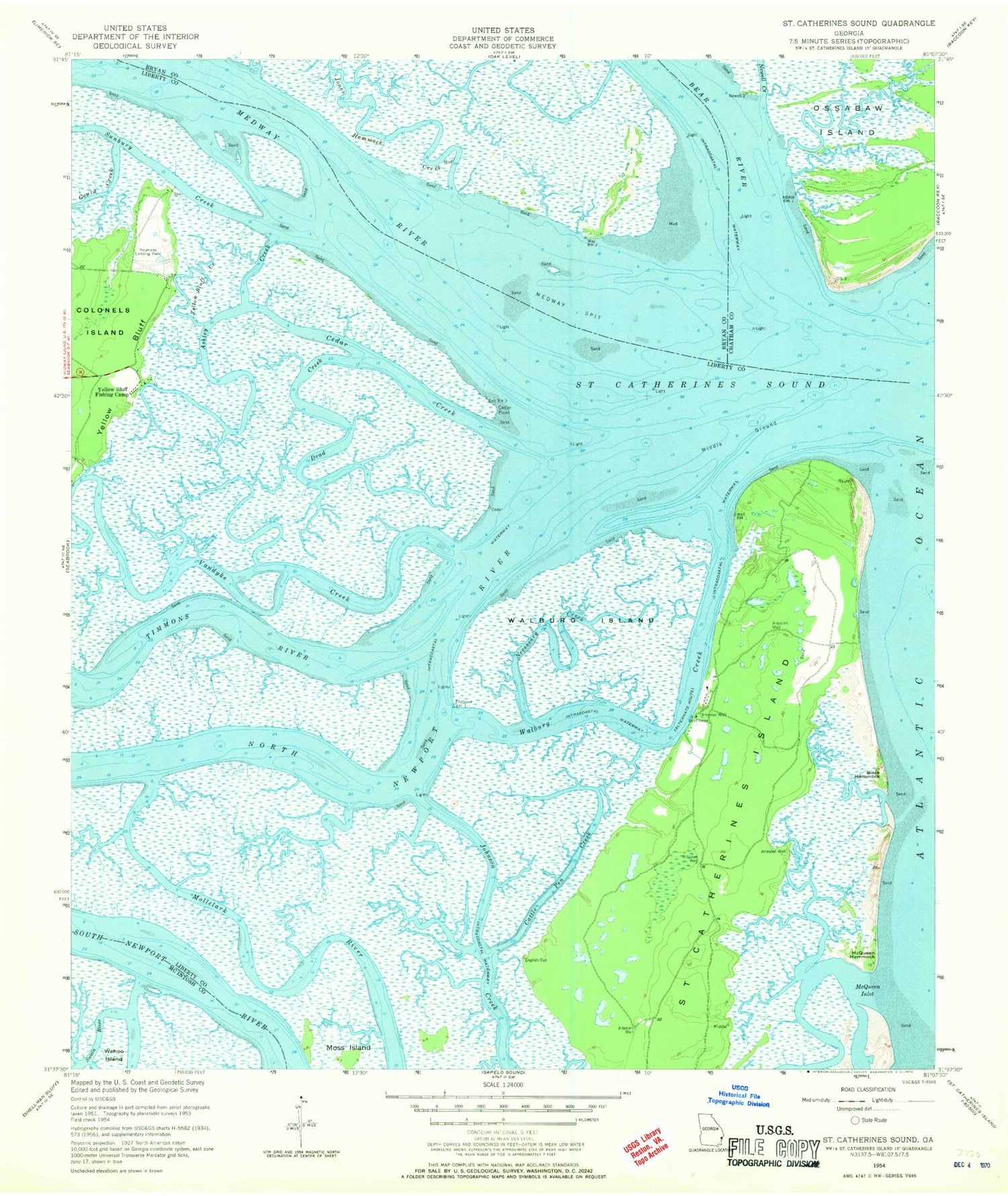
Historical USGS topographic quad map of Saint Catherines Sound in the state of Georgia. Typical map scale is 1:24,000, but may vary for certain years, if available. Print size: 24" x 27"
This quadrangle is in the following counties: Bryan, Chatham, Liberty, McIntosh.
The map contains contour lines, roads, rivers, towns, and lakes. Printed on high-quality waterproof paper with UV fade-resistant inks, and shipped rolled.
Contains the following named places: Ashley Creek, Black Hammock, Cattle Pen Creek, Cedar Creek, Cedar Point, Dead Creek, Gould Creek, McQueen Hammock, McQueen Inlet, Medway Spit, Middle Ground, Moss Island, Necessary Creek, North Newport River, Sunbury Creek, Timmons River, Vandyke Creek, Walburg Creek, Walburg Island, Yellow Bluff, Yellow Bluff Creek, Yellow Bluff Fishing Camp, Youmans Landing Airfield (historical), Bear River, Jones Hammock Creek, Newell Creek, Saint Catherines Sound, Medway River, Saint Catherines Island, Jacobs Creek, Saint Catherine's Island Fire Department