MyTopo
Classic USGS Saint Charles Bay Texas 7.5'x7.5' Topo Map
Couldn't load pickup availability
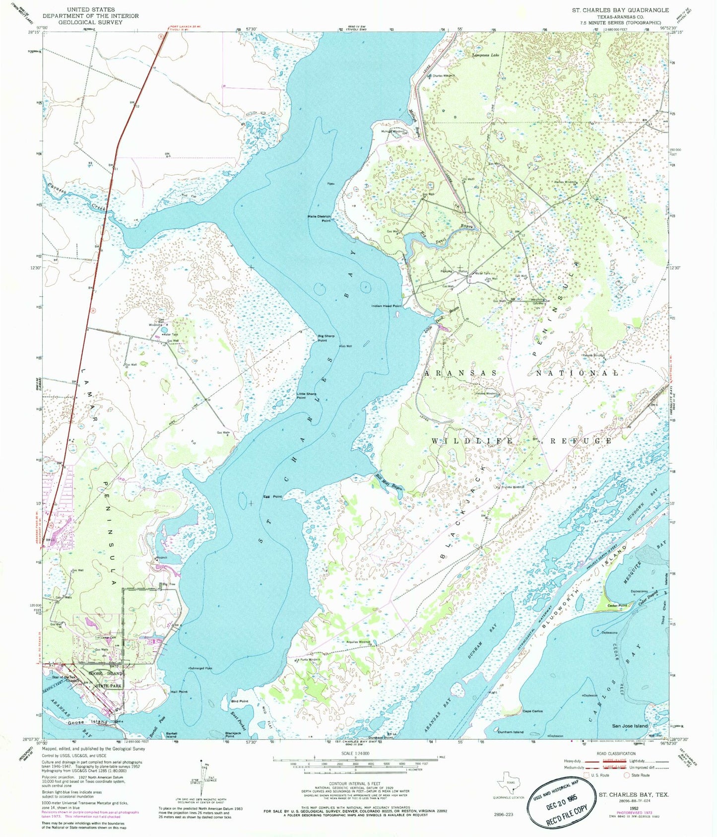
Historical USGS topographic quad map of Saint Charles Bay in the state of Texas. Map scale may vary for some years, but is generally around 1:24,000. Print size is approximately 24" x 27"
This quadrangle is in the following counties: Aransas.
The map contains contour lines, roads, rivers, towns, and lakes. Printed on high-quality waterproof paper with UV fade-resistant inks, and shipped rolled.
Contains the following named places: Acquillas Windmill, Alamos Windmill, Aransas National Wildlife Refuge Trailsystem, Bartell Island, Bartell Pass, Big Devil Bayou, Big Sharp Point, Bill Mott Bayou, Bird Point, Black Jack Peninsula, Bludworth Island, Brahma Windmill, Cape Carlos, Carlos Bay, Cavasso Creek, Cedar Dugout, Cedar Point, Cedar Reef, Dunham Bay, East Pocket, Egg Point, Goose Island, Goose Island State Park, Grass Island, Hail Point, Helotes Windmill, Holiday Beach Sub Station Lamar Volunteer Fire Department, Indian Head Point, Kalt Ranch Airport, La Punta Windmill, Lamar Cemetery, Lamar Census Designated Place, Lamar Peninsula, Lamar Volunteer Fire Department, Lampasas Lake, Little Devil Bayou, Little Sharp Point, McHugh Bayou, McHugh Windmill, Meile Dietrich Point, Neptune Harbor, Ratama Windmill, Saint Charles Bay, Saint Charles Windmill, Star of the Sea Chapel


