MyTopo
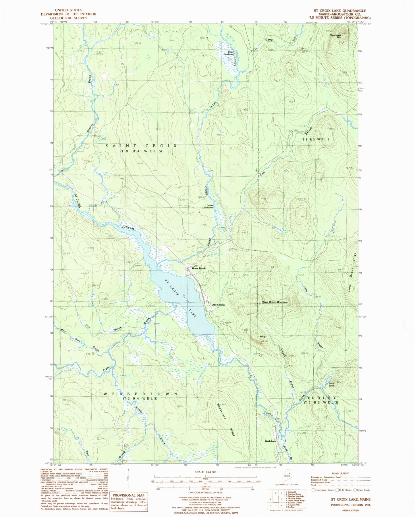
Classic USGS Saint Croix Lake Maine 7.5'x7.5' Topo Map
Couldn't load pickup availability
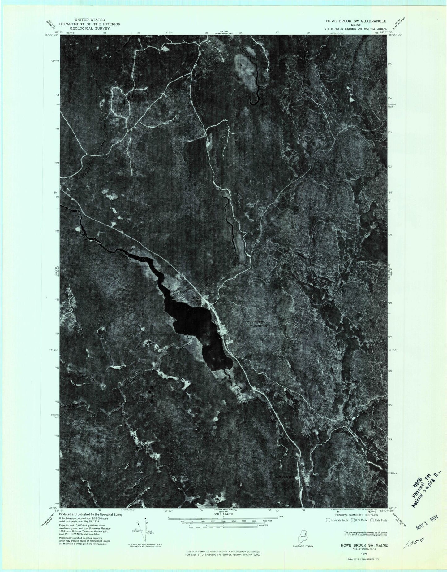
Historical USGS topographic quad map of Saint Croix Lake in the state of Maine. Map scale may vary for some years, but is generally around 1:24,000. Print size is approximately 24" x 27"
This quadrangle is in the following counties: Aroostook.
The map contains contour lines, roads, rivers, towns, and lakes. Printed on high-quality waterproof paper with UV fade-resistant inks, and shipped rolled.
Contains the following named places: Baldy, Brandy Brook, East Branch Howe Brook, Howe Brook, Howe Brook Mountain, Ikes Brook, Little Canada, Little Smith Brook, Long Brook, Long Brook Ridge, Lower Deadwater, Nighthawk Mountain, Quiggly Brook, Roll Dam Brook, Saint Croix Lake, Saint Croix Township, Smith Brook, Tie Camp Brook, Tracy Brook, Trout Pond, Upper Deadwater, Webbertown Township, Weeksboro, Weeksboro Ridge, West Branch Brandy Brook