MyTopo
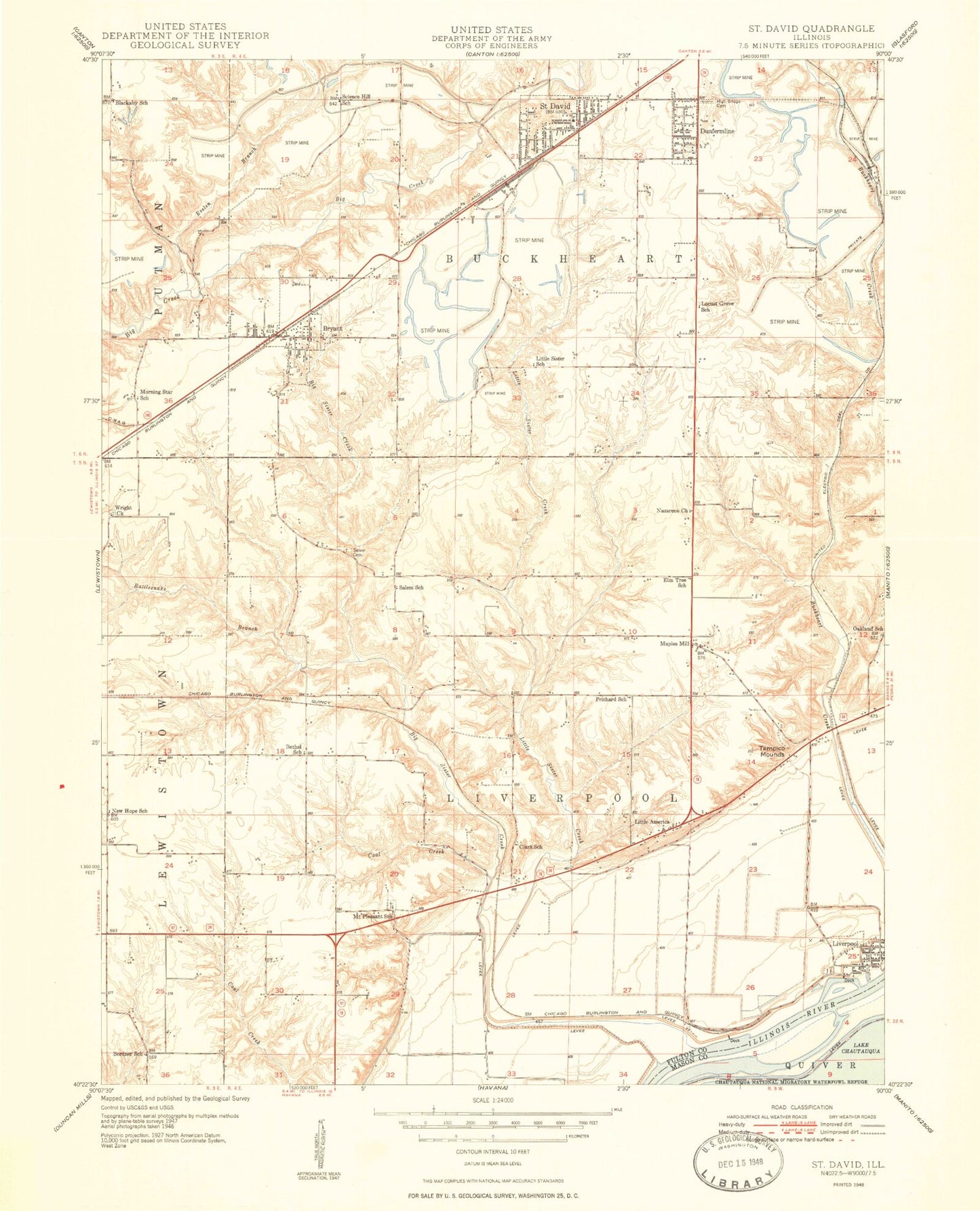
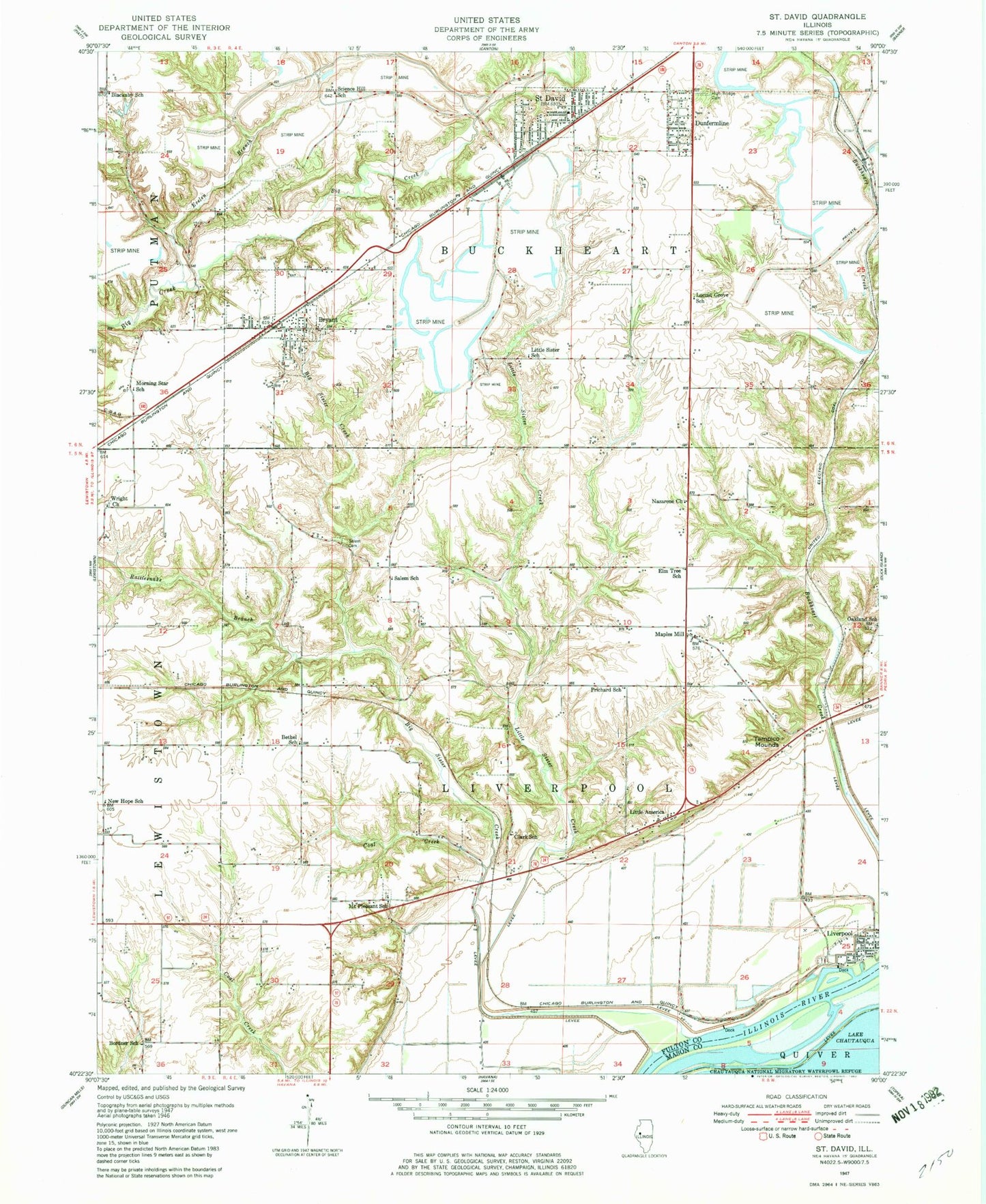
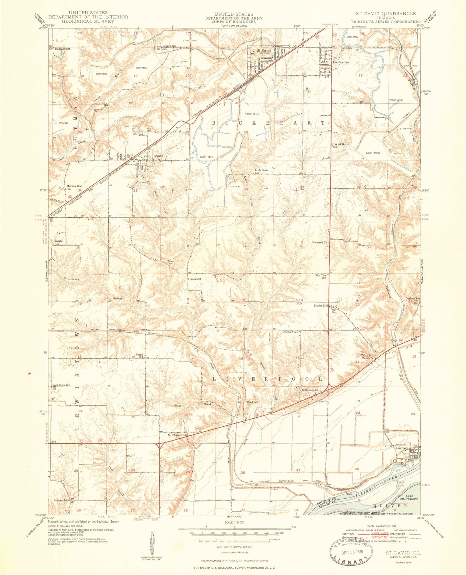
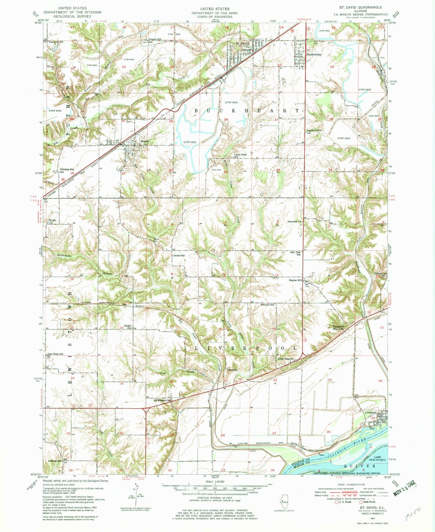
Classic USGS Saint David Illinois 7.5'x7.5' Topo Map
Couldn't load pickup availability
Historical USGS topographic quad map of Saint David in the state of Illinois. Map scale may vary for some years, but is generally around 1:24,000. Print size is approximately 24" x 27"
This quadrangle is in the following counties: Fulton, Mason.
The map contains contour lines, roads, rivers, towns, and lakes. Printed on high-quality waterproof paper with UV fade-resistant inks, and shipped rolled.
Contains the following named places: Apple Cemetery, Bethel Melthodist Episcopal Church, Bethel School, Big Sister Creek, Blackaby School, Bordner School, Bryant, Bryant Post Office, Bryant School, Buckheart County Fire Department, Buckheart Township Fire Protection District Station 1, Buckheart Township Fire Protection District Station 2, Chautauqua National Wildlife Refuge, Clark School, Coal Creek, Dunfermline, Dunfermline Post Office, Dunfermline School, Elm Tree School, Evelen Branch, Evelen Lake, Evelen Lake Dam, Grass Lake, High Bridge Cemetery, Keeler, Little America, Little Sister Creek, Little Sister Lake, Little Sister Lake Dam, Little Sister Mine, Little Sister School, Liverpool, Liverpool Cemetery, Liverpool School, Locust Grove School, Maples Mill, Maryville Cemetery, Morning Star School, Mount Pleasant School, Nazarene Church, New Hope School, Oakland School, Pleasant Row Orchard, Prichard School, Rattlesnake Branch, Saint David, Saint David City Hall, Saint David Elementary School, Saint David Methodist Church, Saint David Nazarene Church, Saint David Post Office, Saint Michaels Roman Catholic Church, Salem School, Salem Wilcoxen Cemetery, Science Hill School, Slim Lake, Sludge Pond Number 1-3A, Sludge Pond Number 1-3A Berm Dam, Tampico Mounds, Township of Buckheart, Township of Liverpool, Village of Bryant, Village of Dunfermline, Village of Liverpool, Village of Saint David, Wright Cemetery, Wright Church, ZIP Codes: 61519, 61524, 61563


