MyTopo
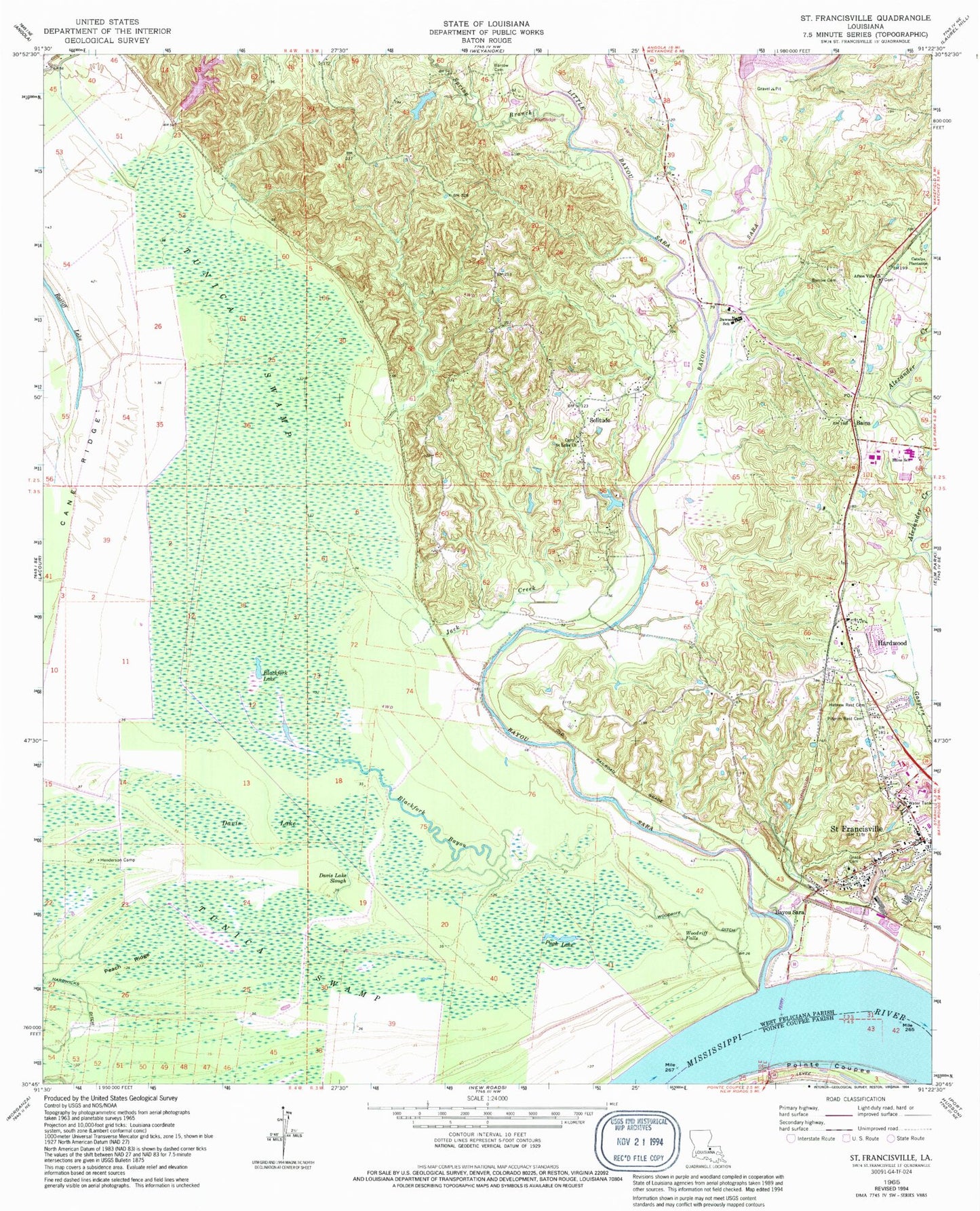
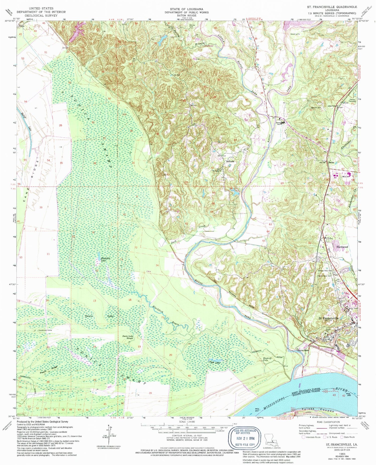
Classic USGS Saint Francisville Louisiana 7.5'x7.5' Topo Map
Couldn't load pickup availability
Historical USGS topographic quad map of Saint Francisville in the state of Louisiana. Map scale may vary for some years, but is generally around 1:24,000. Print size is approximately 24" x 27"
This quadrangle is in the following counties: Pointe Coupee, West Feliciana.
The map contains contour lines, roads, rivers, towns, and lakes. Printed on high-quality waterproof paper with UV fade-resistant inks, and shipped rolled.
Contains the following named places: Afton Villa Baptist Church, Afton Villa Church, Bains, Bains Elementary School, Bains Lower Elementary School, Bains Post Office, Barrow Cemetery, Bayou Sara, Bayou Sara Bend, Bayou Sara Revetment, Bear Bayou, Bingen, Blackfork Bayou, Blackfork Lake, Brown Slough, Butler Lake Dam, Catalpa, Catalpa Plantation, Cross Bayou, Davis Lake, Davis Lake Slough, District A, First Baptist Church, Fort Sainte Reine, Fulda, Grace Episcopal Church, Grace Episcopal Church Cemetery, Grandmother's Buttons Museum, Greater Bethel African Methodist Episcopal Church, Hardwicks Ditch, Hardwood, Harrison Lake, Hebrew Rest Cemetery, Henderson Camp, Jack Creek, Lake Platt, Little Bayou Sara, Mount Carmel Cemetery and Mausoleum, Our Lady of Mount Carmel Church, Parish Governing Authority District 1, Parish Governing Authority District 3, Peach Ridge, Pilgrim Rest Cemetery, Polly Creek, Pugh Lake, Raspberry Baptist Church, Ratliff Lake, Saint Francisville, Saint Francisville Ferry, Saint Francisville Police Department, Saint Francisville Volunteer Fire Department, Saint Luke Church, Solitude, Solitude Airstrip, Spring Branch, Timberwheel Lakes, Town of Saint Francisville, Tunica Swamp, United Methodist Church, Ward Ten, West Feliciana High School, West Feliciana Historical Society Museum, West Feliciana Middle School, West Feliciana Parish Sheriff's Office, Wilcox, Woodriff Ditch, Woodriff Falls


