MyTopo
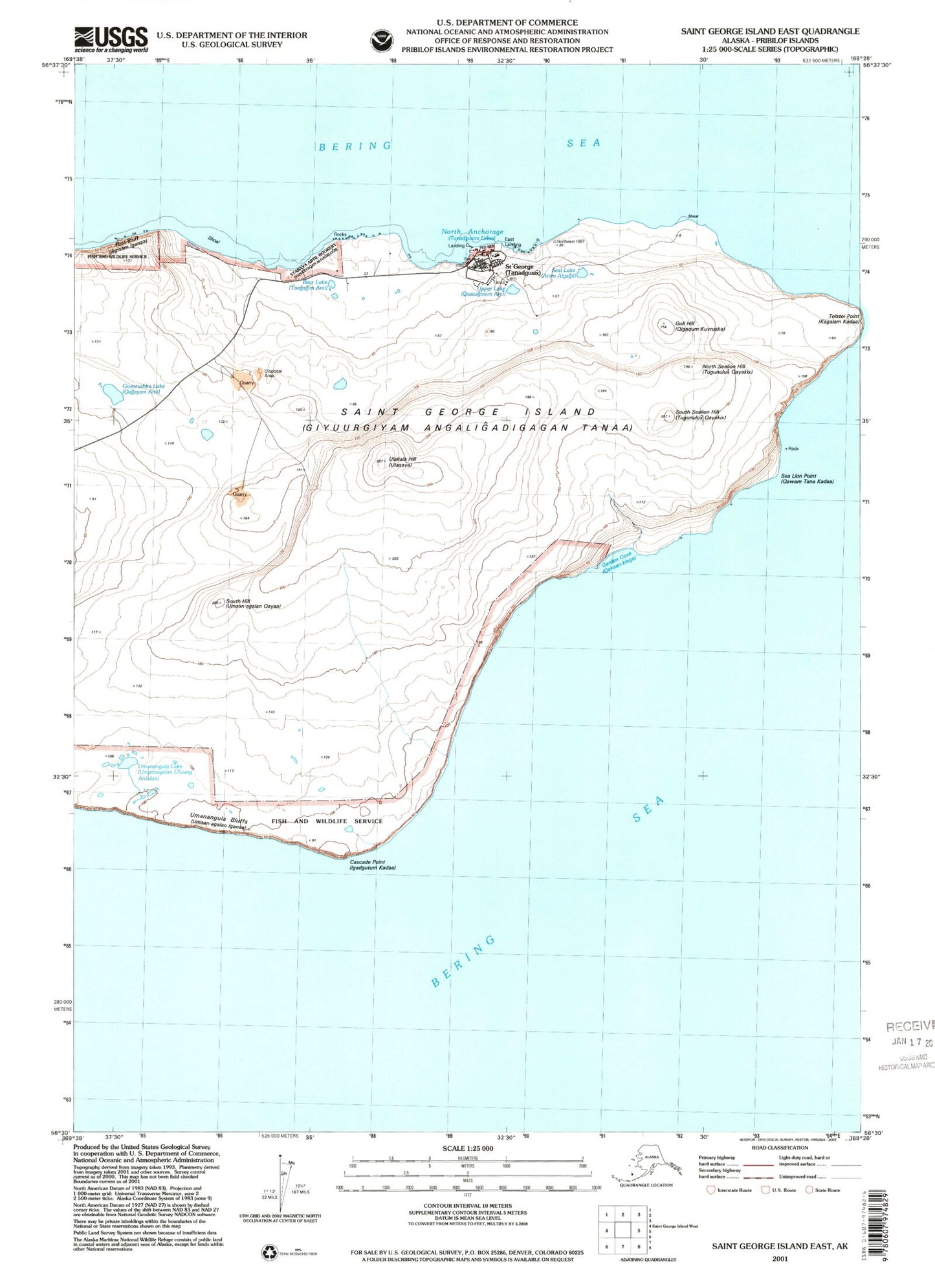
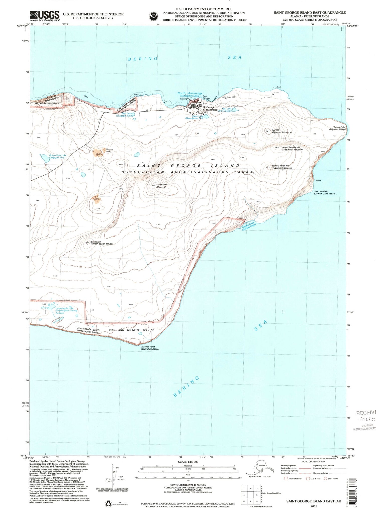
Classic USGS Saint George Island East Alaska 7.5'x7.5' Topo Map
Couldn't load pickup availability
Historical USGS topographic quad map of Saint George Island East in the state of Alaska. Map scale may vary for some years, but is generally around 1:24,000. Print size is approximately 24" x 27"
This quadrangle is in the following counties: Aleutians West (CA).
The map contains contour lines, roads, rivers, towns, and lakes. Printed on high-quality waterproof paper with UV fade-resistant inks, and shipped rolled.
Contains the following named places: Aagyuugim Nuga, Agaan-kinga, Agisam Kuvruska, Agisam-koverushka, Agisogh Bluff, Aleutian Pribilof Islands Association Saint George Health Clinic, Anagchucknun'a, An'agchucknun'am-an'yi, Angaxsiqax, Aniqduxsiilum Anii, Anuckaselogh, Bear Lake, Cascade Point, Chaangiqluux, City of Saint George, Dravnoi', First Bluff, Garden Cove, Govorushka Lake, Great East Rookery, Gull Hill, Holostiak-ralog, Holostiak-ralom-kiya, Ikoum-unga, Kamina, Kawanera, Kitasiilux Sitxa, Kodogh, Kragluchten Point, Krituuyax, Kuluunkiglaagan, Little East Rookery, Magusim Qayaa, North Anchorage, North Rookery, North Sealion Hill, Pristinam Staara, Pristinam Tagada, Qagaadan Algagiilugii, Qagaadan Aniida, Qagaadan Kadaa, Qakaan-kingagn Quduu, Qakaan-kingan Chiganaa, Qawa Chiganaa, Qigduxtam Kadaa, Saint George, Saint George Alaska Native Village Statistical Area, Saint George Department of Public Safety, Saint George Island, Saint George Island Post Office, Seal Lake, Sealion Neck, Sngaagim Chaxaa, South Hill, South Sealion Hill, Staraya Artil Rookery, Stinam Isana, Takamgia Point, Tanaxtaqan Anii, Tanogtukan Lake, Ulakaia Hill, Ulaqayagan Achidan Anii, Ularakartha Point, Umanangula Bluffs, Umanangula Lake, Upper Lake, Ustinam Sitxaa, Yar'am-anatu'ulug


