MyTopo
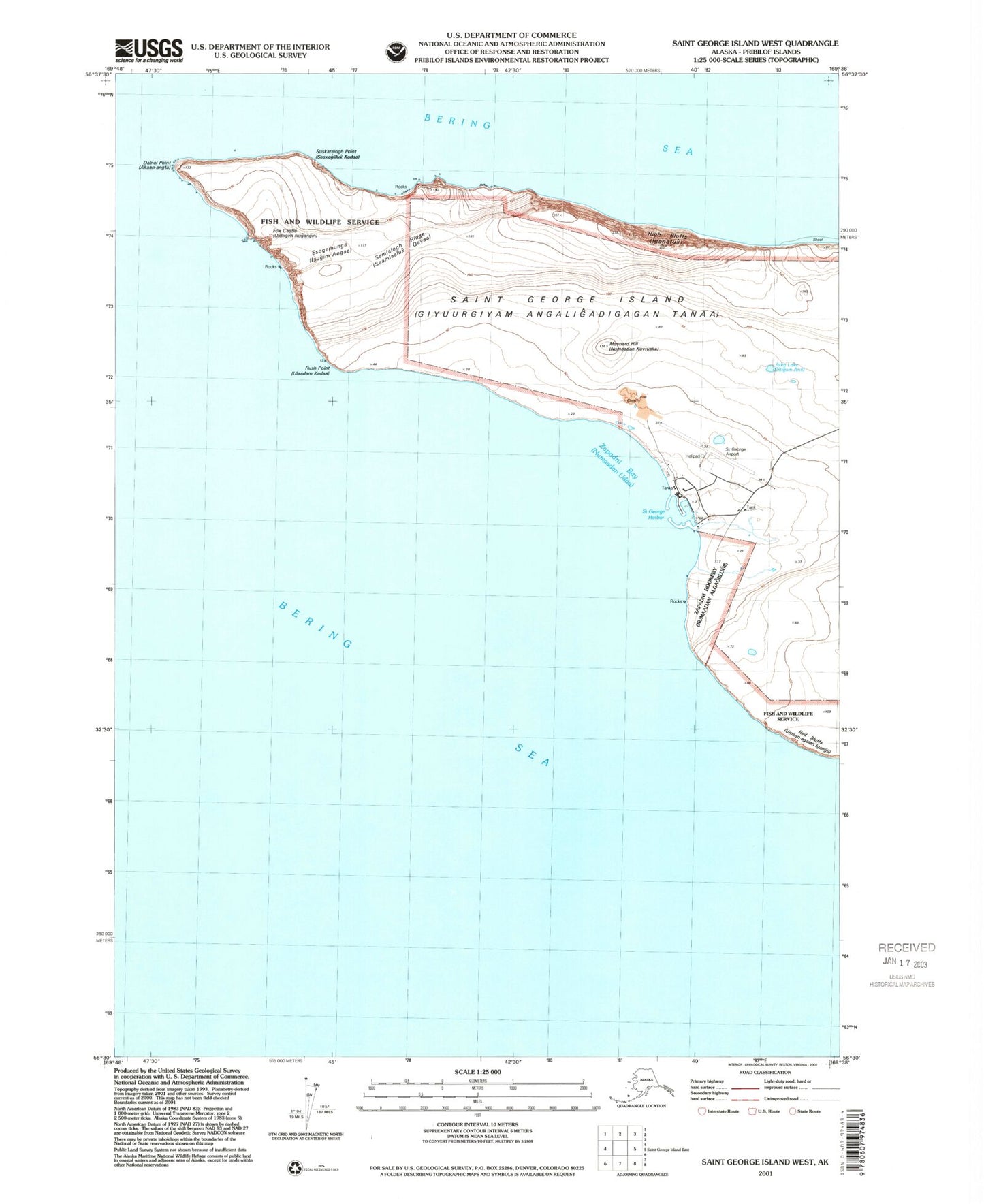
Classic USGS Saint George Island West Alaska 7.5'x7.5' Topo Map
Couldn't load pickup availability
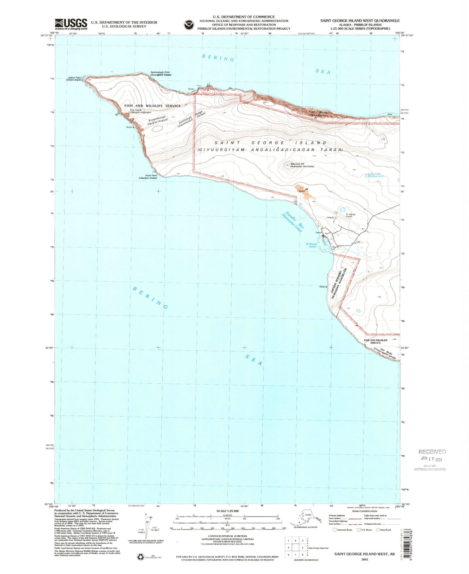
Historical USGS topographic quad map of Saint George Island West in the state of Alaska. Map scale may vary for some years, but is generally around 1:24,000. Print size is approximately 24" x 27"
This quadrangle is in the following counties: Aleutians West (CA).
The map contains contour lines, roads, rivers, towns, and lakes. Printed on high-quality waterproof paper with UV fade-resistant inks, and shipped rolled.
Contains the following named places: Agis-chucka, Agisogh, Algan-uda, Ananongutka, Atka Lake, Chagina, Chugugiidam Anii, Clinker Plateau, Dalnoi Point, Esogemunga, Fox Castle, High Bluffs, Iganatum Mayaakaa, Igaxtadam Tagaalugii, Kimischiilux, Maynard Hill, Myak Rock, Naro'am-unga, Nugaadam Anii, Numaadaa, Numaadan Alagum Ulaada, Numaadan Algagiilugii Chiganaada, Numadan Pristinaa, Numadan Sunam Aaliisii, Rush Point, Samalogh Ridge, Samla logh chuka, Samla'logh-chuka', St George Airport, Suskaralogh Point, Yaganuda Cove, Zapadni Bay, Zapadni Rookery, ZIP Code: 99591


