

MyTopo
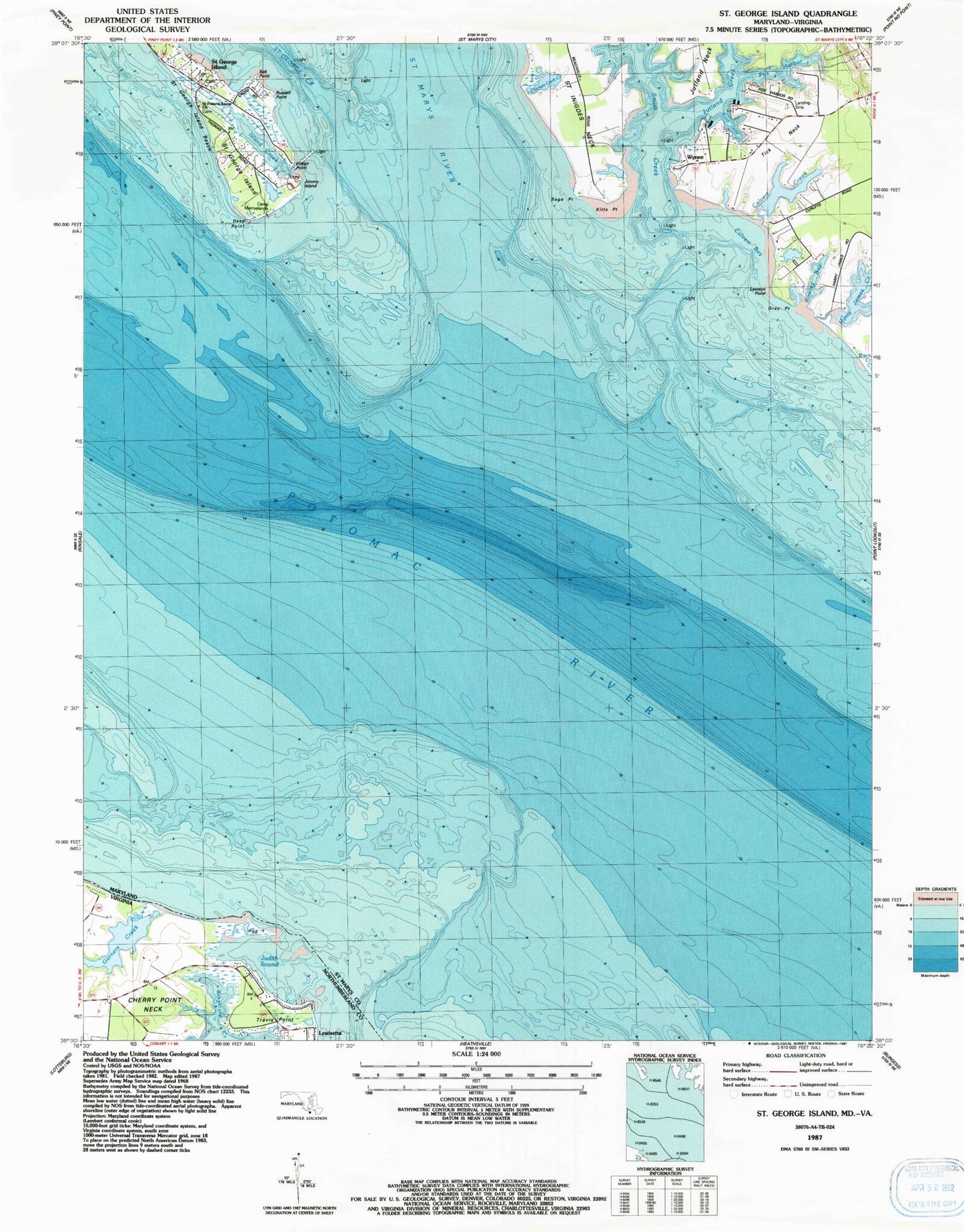
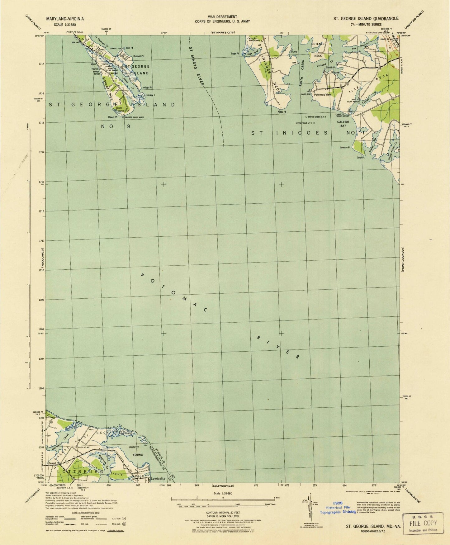
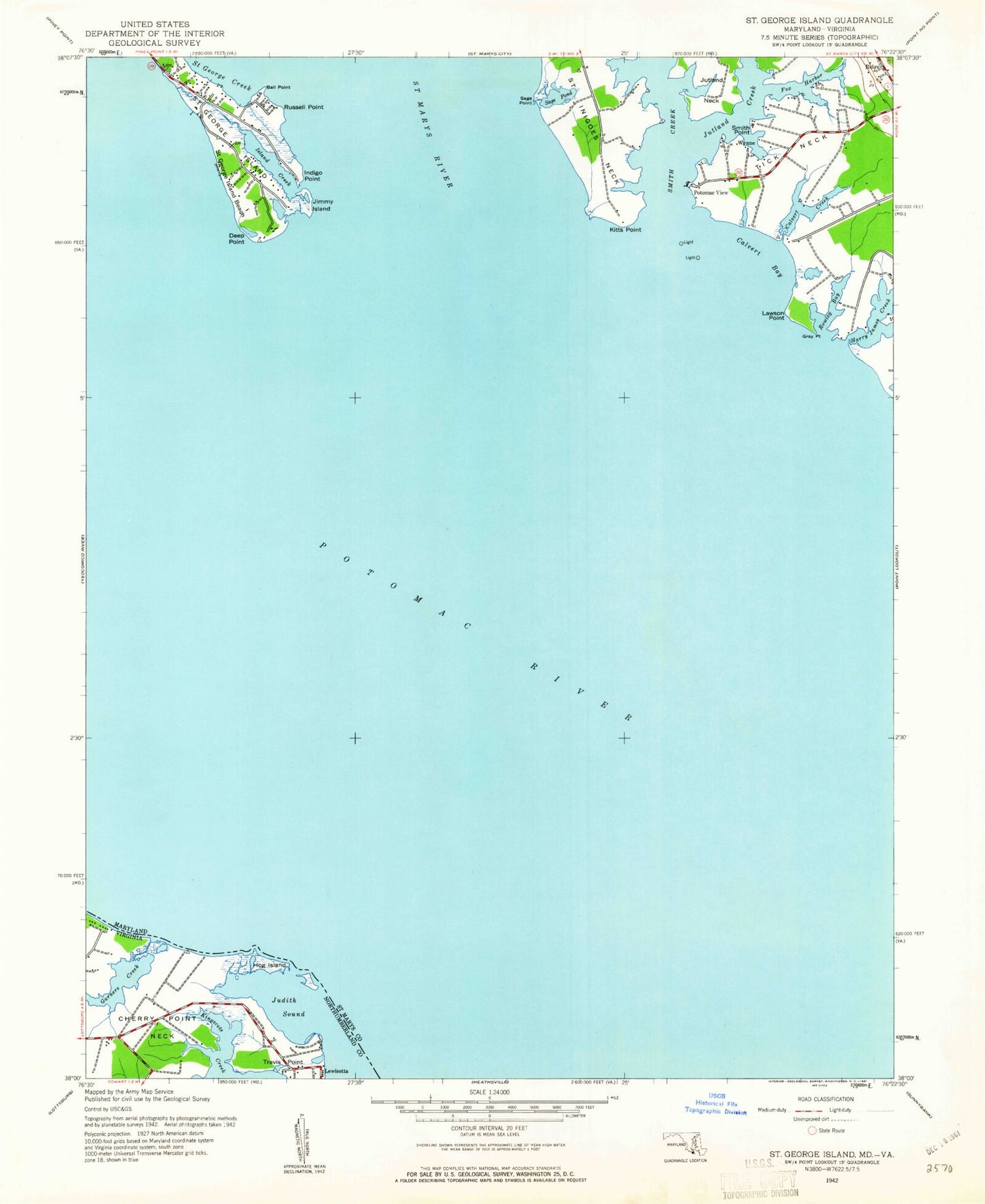
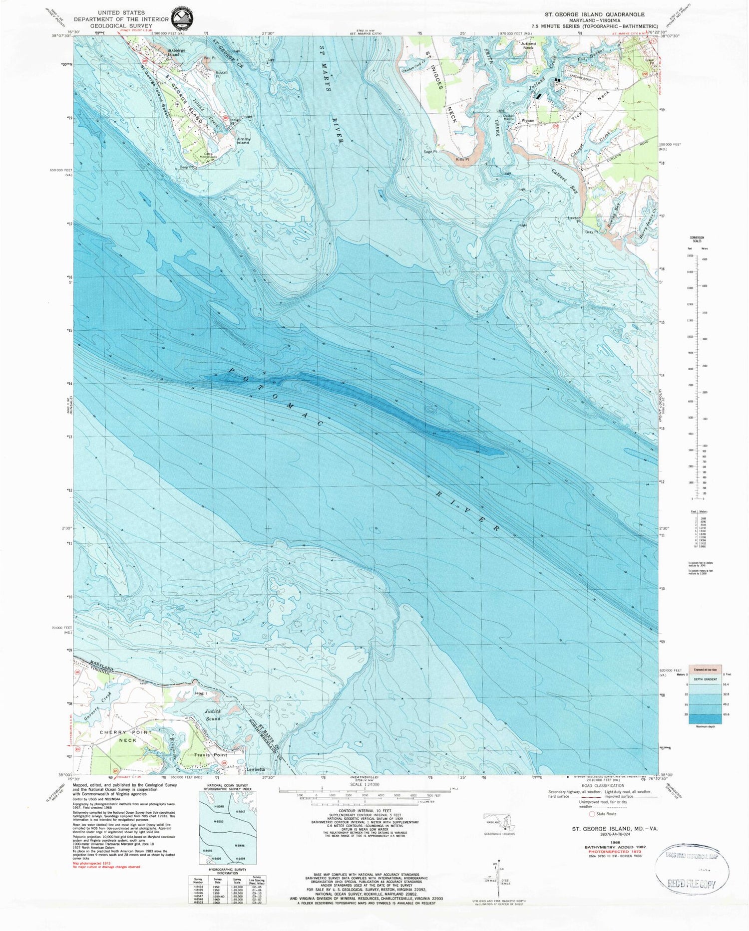
Classic USGS Saint George Island Maryland 7.5'x7.5' Topo Map
Couldn't load pickup availability
Historical USGS topographic quad map of Saint George Island in the states of Maryland, Virginia. Map scale may vary for some years, but is generally around 1:24,000. Print size is approximately 24" x 27"
This quadrangle is in the following counties: Northumberland, St. Mary's.
The map contains contour lines, roads, rivers, towns, and lakes. Printed on high-quality waterproof paper with UV fade-resistant inks, and shipped rolled.
Contains the following named places: Ball Point, Bards Field, Beans Landing, Bonham Airport, Calvert Bay, Calvert Creek, Calverts Rest, Camp Merryelande, Chicken Cock Creek, Clayton Marina, Cypress Farm, Deep Point, District 9 Saint George Island, Fox Harbor, Garners Creek, Gray Point, Harry James Creek, Hog Island, Indigo Point, Island Creek, James Creek Bar, Jimmy Island, Judith Sound, Kitts Point, Kitty Acres, Lawson Point, Miller Wharf, Potomac View, Rowley Bay, Russell Point, Sage Point, Saint George Island, Saint George Island Beach, Saint George Island Census Designated Place, Saint George Island United Methodist Church, Saint Marys River, Smith Creek, Smith Creek House, Smith Point, Tick Neck, Travis Point, Woodlawn, Wynne, Wynne Post Office, ZIP Code: 20680