MyTopo
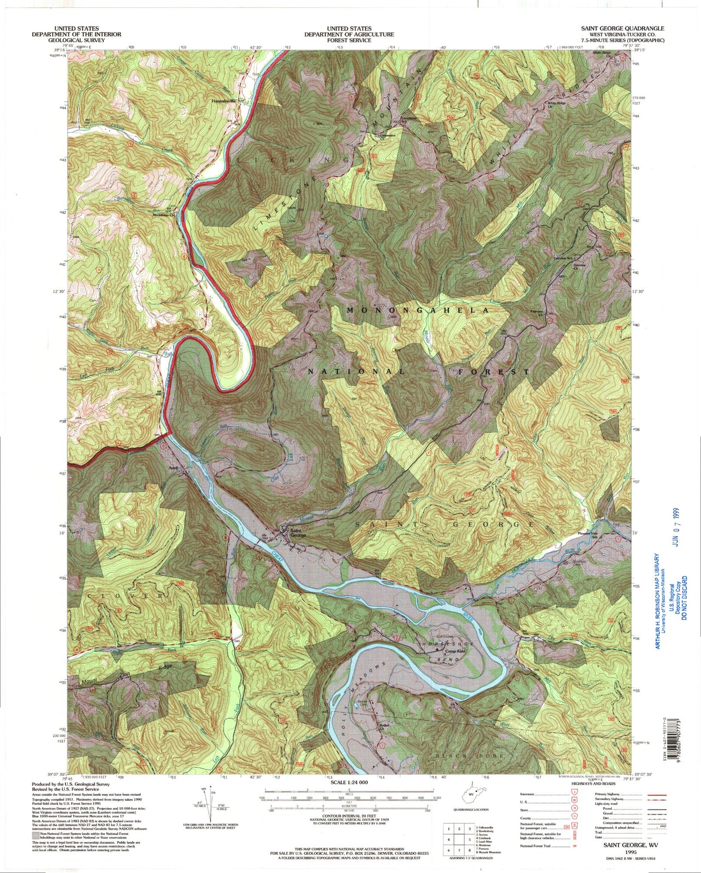
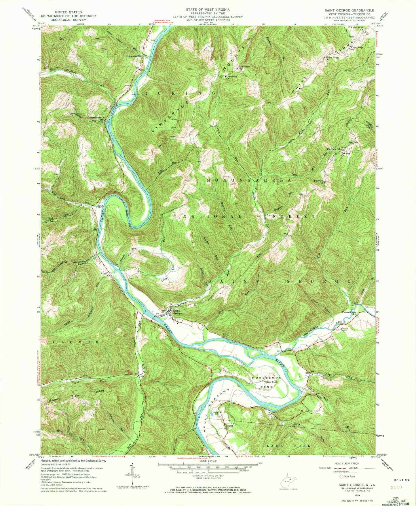
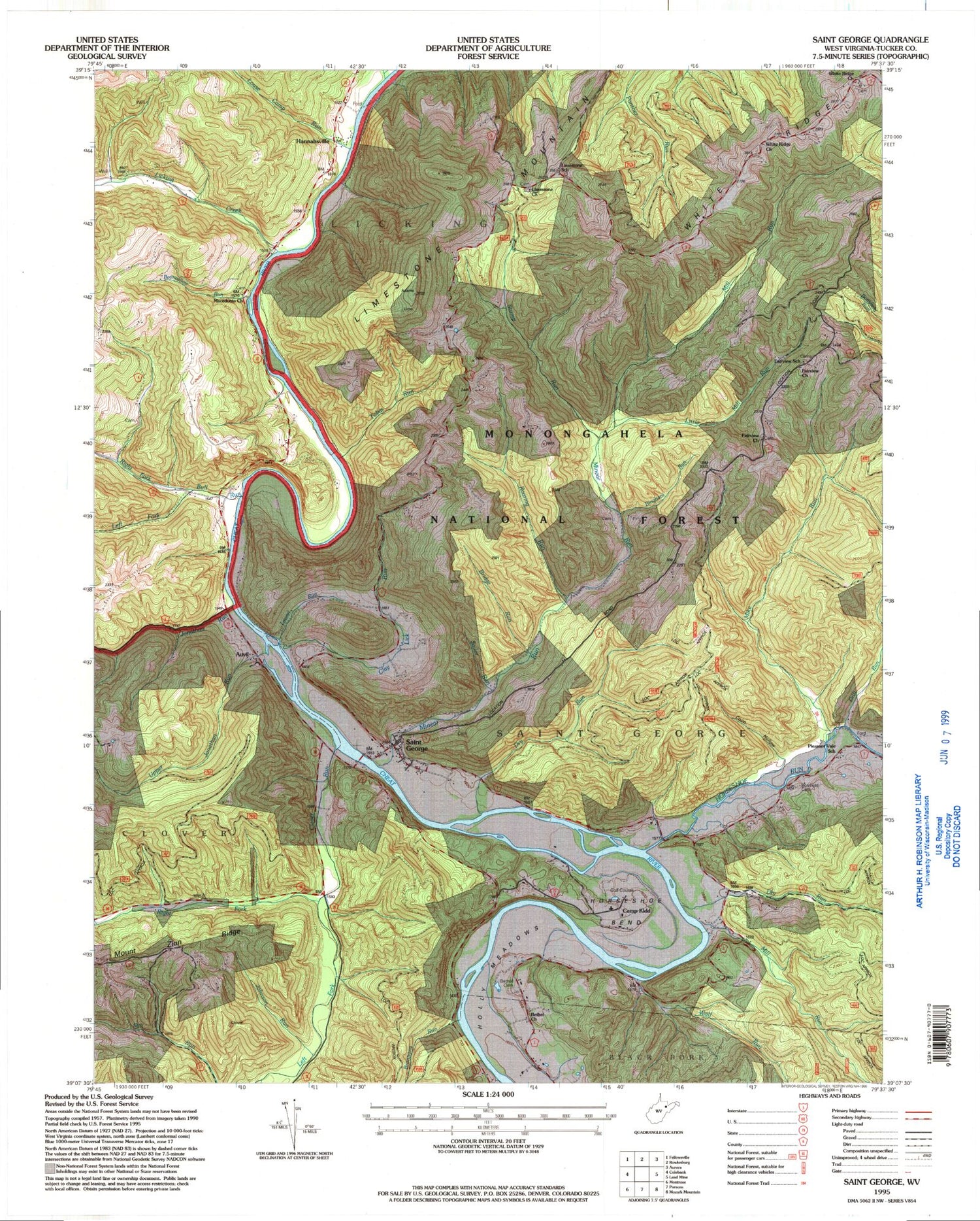
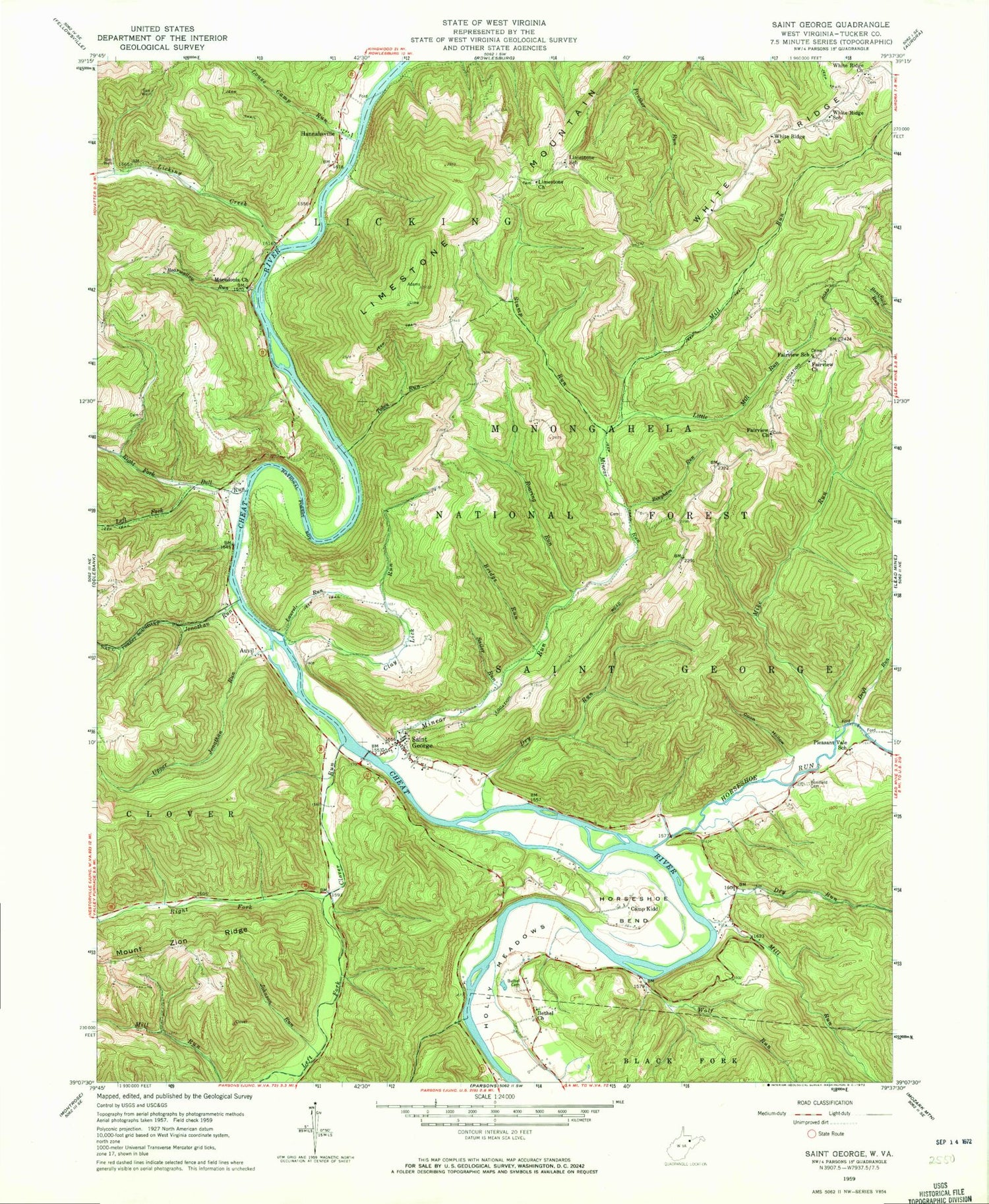
Classic USGS Saint George West Virginia 7.5'x7.5' Topo Map
Couldn't load pickup availability
Historical USGS topographic quad map of Saint George in the state of West Virginia. Typical map scale is 1:24,000, but may vary for certain years, if available. Print size: 24" x 27"
This quadrangle is in the following counties: Tucker.
The map contains contour lines, roads, rivers, towns, and lakes. Printed on high-quality waterproof paper with UV fade-resistant inks, and shipped rolled.
Contains the following named places: Bearwallow Run, Bethel Cemetery, Bethel Church, Bingham Run, Bonifield Cemetery, Brannons Run, Bridge Run, Bull Run, Camp Kidd, Clay Lick Run, Clover Run, Coon Hollow, Drift Run, Dry Run, Dry Run, Fairview Church, Fairview Church, Fairview School (historical), Holly Meadows, Horseshoe Bend, Horseshoe Run, Johnson Run, Jonathan Run, Laurel Run, Left Fork Bull Run, Left Fork Clover Run, Licking Creek, Limestone Church, Limestone Mountain, Limestone School (historical), Little Mill Run, Long Run, Louse Camp Run, Macedonia Church, Mike Run, Mill Run, Mill Run, Minear Run, Pleasant Vale School (historical), Right Fork Bull Run, Right Fork Clover Run, Roaring Run, Sailor Run, Saint George, Stump Run, Tobes Run, Upper Jonathan Run, White Ridge, White Ridge Church, White Ridge Church, White Ridge School (historical), Wolf Run, Auvil, Hannahsville, Ann Eliza Methodist Episcopal Church, Church of God, Fairview Cemetery, Holly Meadows, Holly Meadows Presbyterian Church (historical), Limestone Cemetery, Location, Mount Olivet Cemetery, Pleasant Vale, Saint George Academy, Beckner School (historical), Chestnut Grove School (historical), Cloverdale Church (historical), Horseshoe Bend School (historical), Licking Creek School (historical), Mount Olive Church (historical), Mount Olive School (historical), Mount Prospect School (historical), Clay Lick School (historical), Macedonia School (historical), Licking District, Saint George District, Saint George Census Designated Place, Holly Meadows Golf Course, Saint George Bridge


