MyTopo
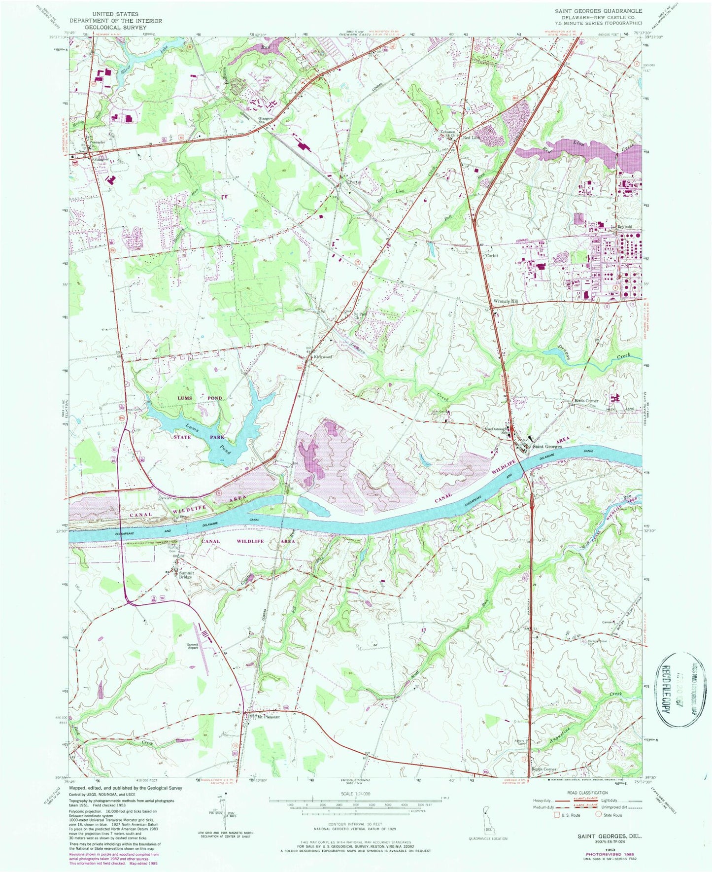
Classic USGS Saint Georges Delaware 7.5'x7.5' Topo Map
Couldn't load pickup availability
Historical USGS topographic quad map of Saint Georges in the state of Delaware. Typical map scale is 1:24,000, but may vary for certain years, if available. Print size: 24" x 27"
This quadrangle is in the following counties: New Castle.
The map contains contour lines, roads, rivers, towns, and lakes. Printed on high-quality waterproof paper with UV fade-resistant inks, and shipped rolled.
Contains the following named places: Asbury Cemetery, Crystal Run, Doll Run, May B Leasure Elementary School, Glasgow, Glasgow Station, Hickory Grove Cemetery, Joy Run, Lums Pond, Commodore Macdonogh Elementary School, Mount Pleasant, Saint Georges, Saint Georges Cemetery, Saint Paul Church, Summit Bridge, Gunning Bedford Junior High School, Red Lion Christian Academy, Mount Pisgah United African Methodist Episcopal Church, Saint Georges United Presbyterian Church, Presbyterian Cooperative Parish, Saint Georges United Methodist Church, Kirkwood Methodist Church, Saint Johns Lutheran Church, Red Lion Methodist Church, Rolling Meadows, Lums Pond Estates II, Countryside Farms, Porter Square, Little Jersey, Summit Aviation, Meadowbrook Farms South, Meadowbrook Farms, Crystal Run Farm, Airmont Acres, Dutch Neck Farms, Pine Valley Farms, Shenandoah, Belltown Woods, Clay Acres, Hickory Woods, Moores Acres, Tolham Estates, Red Lion State Forest, Garwood Estates, Kinston Acres, Kings Croft, Red Lion Church, Delpro Company, Glasgow Court, Becks Landing, Four Seasons Park, Melody Meadows II, Birds Corner, Boyds Corner, Kirkwood, Porter, Red Lion, Wrangle Hill, Becks Pond Park, Glendale Park, Sunset Lake, Pencader Presbyterian Church (historical), Dragon Run Terrace Mobile Home Park, Mount Pleasant Mobile Home Park, Canal Wildlife Area, Canal Station, Canal Bridge, Lums Pond State Park, Sunset Lake Dam, Keeney, Becks Pond, Becks Pond Dam, Pigeon Run, Tybouts Corner, Corbit, Williamsburg, Saint Georges Heights, Lorewood Grove, Briar Point, Fiddlers Bridge, Biddles Corner, Jamisons Corner, Gams Crest, Red Lion Hundred, Saint Georges Hundred, New Castle County, Parkside, Caravel Farms, Woodside Manor, Marabou Meadows, Glasgow Pines, Lauren Farms, Wrange Hill Estates, Red Lion Methodist Church, Reybold, Summit Airport, Hodgson Vocational Technical School, Summit United Methodist Church, Saint Georges Methodist Church, Saint Mary Coptic Orthodox Church, Delaware Veterans Memorial Cemetery, Faith Assembly of God Church, Brookmont Farms Park, Caravel Academy, Glasgow Reformed Presbyterian Church, Friendship Baptist Church, Melody Meadows, Chesapeake and Delaware Canal, Starl House (historical), Cann Mansion (historical), Glasgow Division, Delaware State Hospital, Delaware State Police Troop 2, Pencader Cemetery, Cornerstone Senior Center, Cornerstone United Methodist Church, Mount Pisgah UAME Church Cemetery, Good Shepherd Baptist Church, Bear Post Office, Corner Stone Church, Liberty Baptist Church, Faith Lutheran Church, Wrangle Hill Industrial Park, Saint Pauls United Methodist Cemetery, Red Lion Evangelical Free Church, Nueva Vida United Methodist Church, Alpha Baptist Church, Bear Census Designated Place, Glasgow Census Designated Place, Conectiv Delmarva Peaking Station, Delaware City Power Plant, Volunteer Hose Company of Middletown Station 1, Christiana Fire Company Station 6, Aetna Hose Hook and Ladder Fire Station 10, New Castle County Emergency Medical Services Paramedic Station 6, Saint Georges Census Designated Place, Saint Georges Post Office, Kirkwood Post Office


