MyTopo
Classic USGS Saint Helen NE Michigan 7.5'x7.5' Topo Map
Couldn't load pickup availability
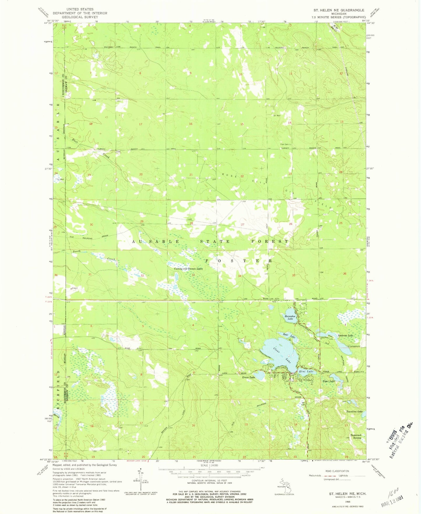
Historical USGS topographic quad map of Saint Helen NE in the state of Michigan. Map scale may vary for some years, but is generally around 1:24,000. Print size is approximately 24" x 27"
This quadrangle is in the following counties: Ogemaw, Roscommon.
The map contains contour lines, roads, rivers, towns, and lakes. Printed on high-quality waterproof paper with UV fade-resistant inks, and shipped rolled.
Contains the following named places: Ambrose Lake, Ambrose Lake State Forest Campground, Bear Lake, Beaver Trails Campground, Clear Lake, Clear Lake Volunteer Fire Department, Cutting and Damon Lakes, Elni Lake, Fisk Cemetery, Grass Lake, Horseshoe Lake, Piper Lake, Piper Post Office, Rose City Oil Field, Township of Foster