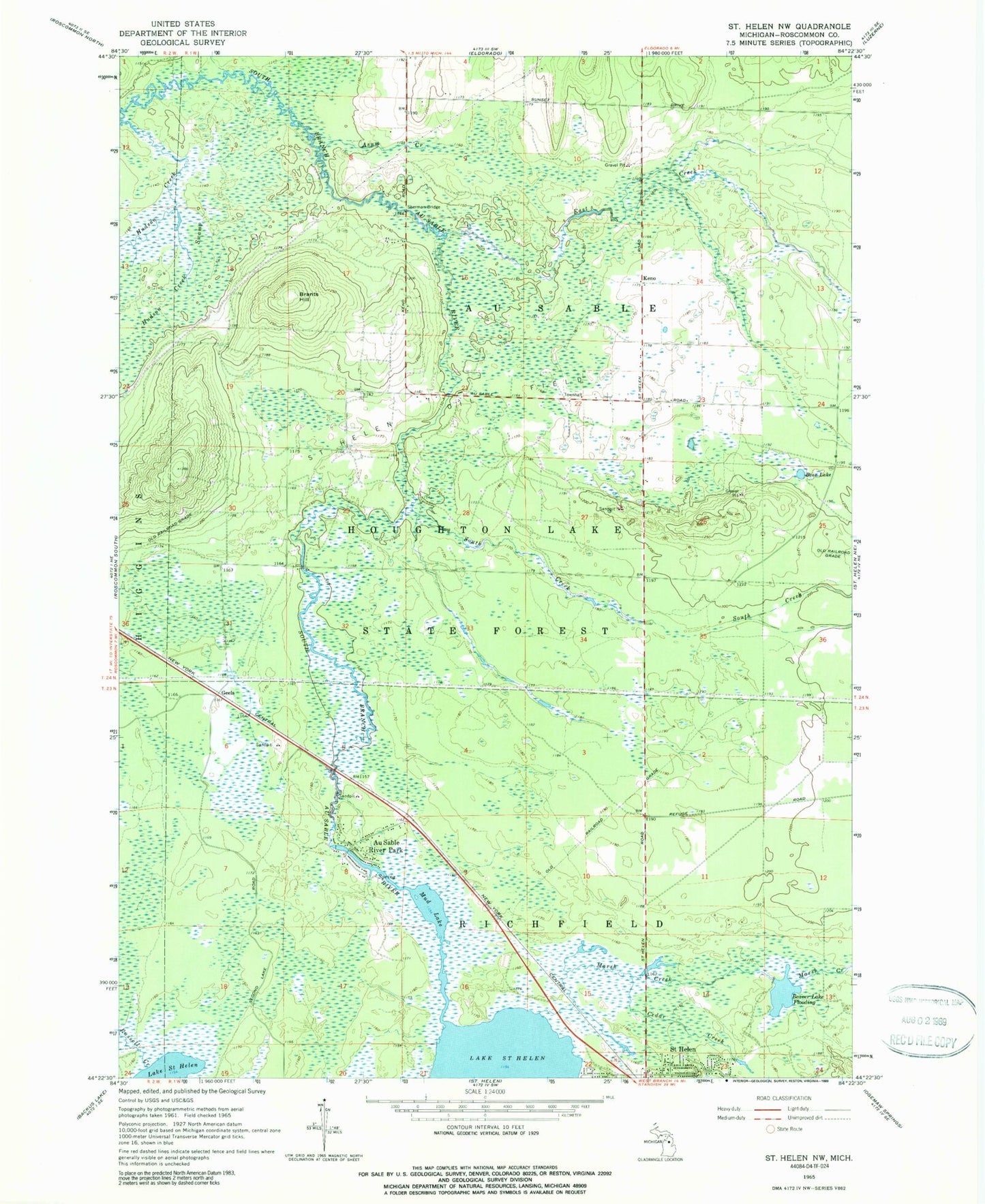
MyTopo
Classic USGS Saint Helen NW Michigan 7.5'x7.5' Topo Map
Couldn't load pickup availability
Historical USGS topographic quad map of Saint Helen NW in the state of Michigan. Typical map scale is 1:24,000, but may vary for certain years, if available. Print size: 24" x 27"
This quadrangle is in the following counties: Roscommon.
The map contains contour lines, roads, rivers, towns, and lakes. Printed on high-quality waterproof paper with UV fade-resistant inks, and shipped rolled.
Contains the following named places: Asum Creek, Au Sable River Park, Bear Lake, Beaver Lake Flooding, Brants Hill, Cedar Creek, East Creek, Hudson Creek, Marsh Creek, Mud Lake, Russell Creek, South Creek, Geels, Keno, Saint Helen Oil Field, Sherman Bridge, Township of Au Sable, Geels Station (historical), Keno Post Office (historical), Geels Post Office (historical), Lake Saint Helen Baptist Church, Kirtland Community College, Kirtland Community College Department of Public Safety