MyTopo
Classic USGS Saint Helen Michigan 7.5'x7.5' Topo Map
Couldn't load pickup availability
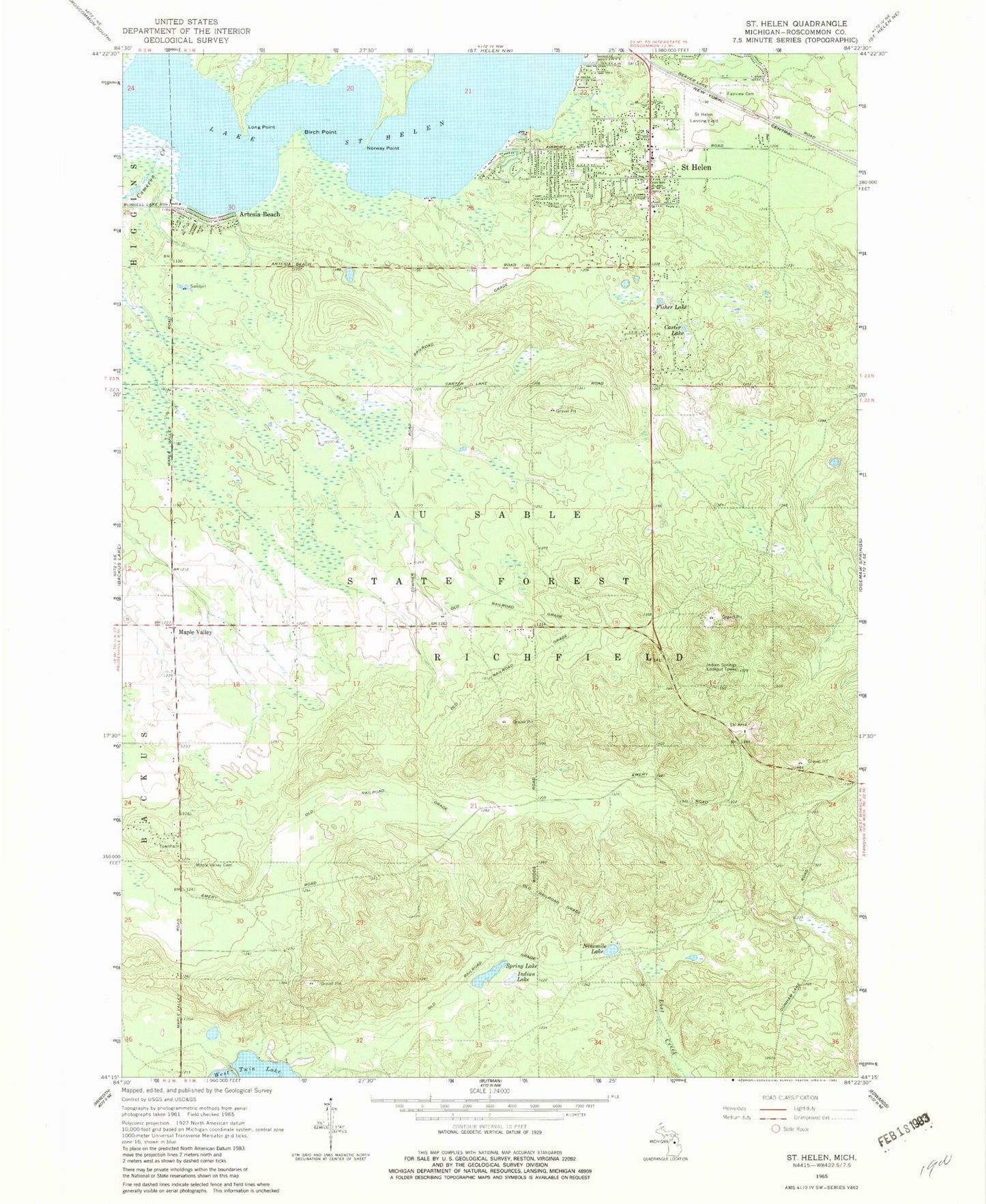
Historical USGS topographic quad map of Saint Helen in the state of Michigan. Map scale may vary for some years, but is generally around 1:24,000. Print size is approximately 24" x 27"
This quadrangle is in the following counties: Roscommon.
The map contains contour lines, roads, rivers, towns, and lakes. Printed on high-quality waterproof paper with UV fade-resistant inks, and shipped rolled.
Contains the following named places: Artesia Beach, Artesia Beach Campground, Backus Township Hall, Birch Point, Birch Pointe Golf Club, Cameron Creek, Carter Lake, Community Baptist Church, Fairview Cemetery, Fisher Lake, Hope Lutheran Church, Indian Lake, Indian Springs Lookout Tower, Lake Saint Helen, Lakeview Park Indian Cemetery, Long Point, Maple Valley, Maple Valley Cemetery, Ninemile Lake, Norway Point, Richfield Township Public Library, Richfield Township Public Safety Department Fire Station, Richfield Township Public Safety Department Police Station, Saint Helen, Saint Helen Assembly of God Church, Saint Helen Catholic Church, Saint Helen Census Designated Place, Saint Helen Elementary School, Saint Helen Post Office, Saint Helen Station, Shady Lane Trailer Court, Spring Lake, St Helen Airport, Township of Richfield, ZIP Code: 48656