MyTopo
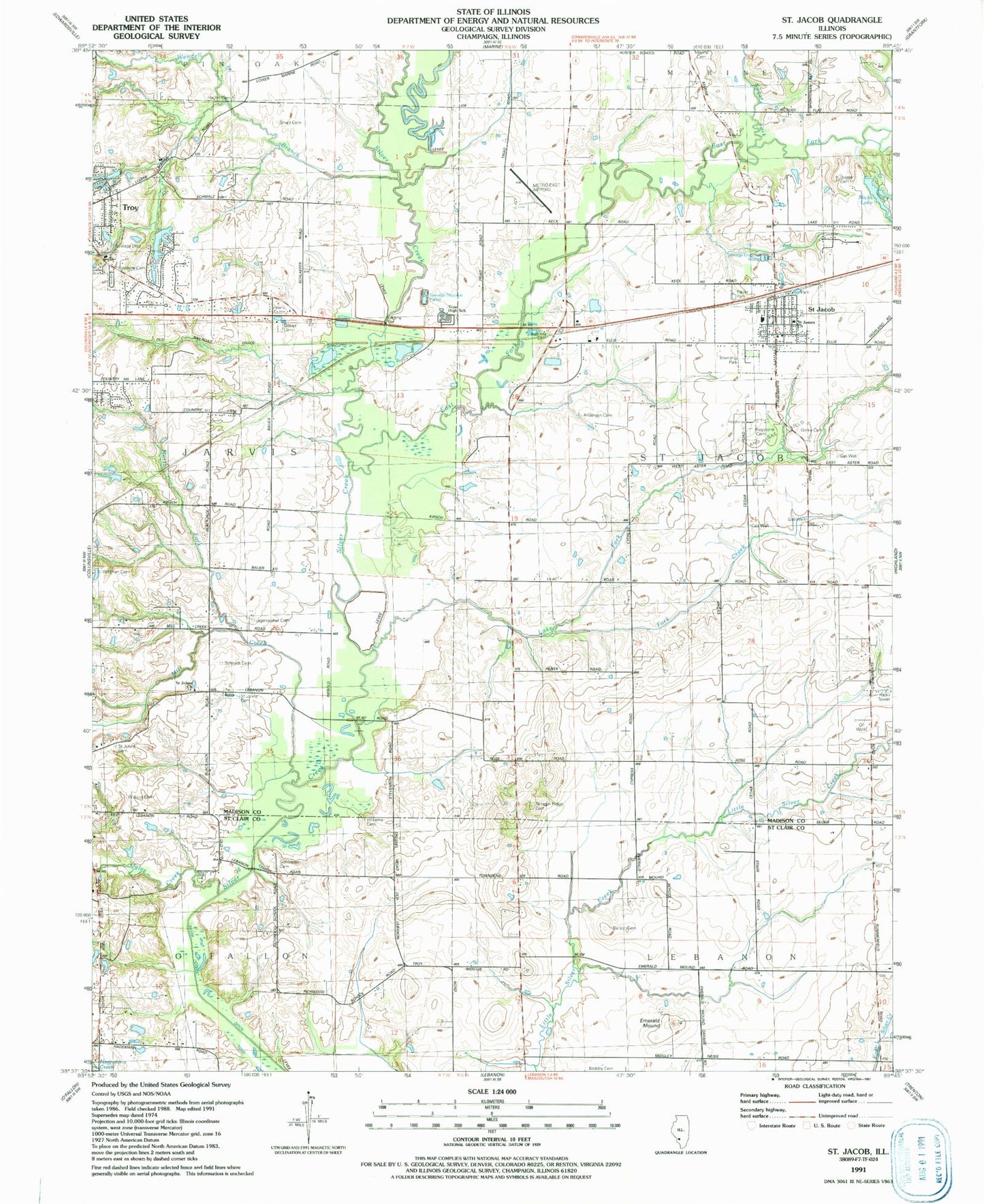
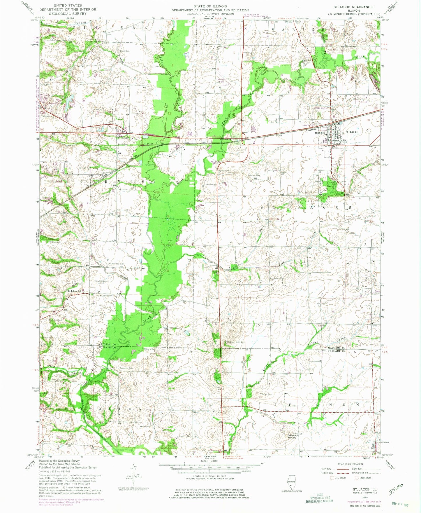
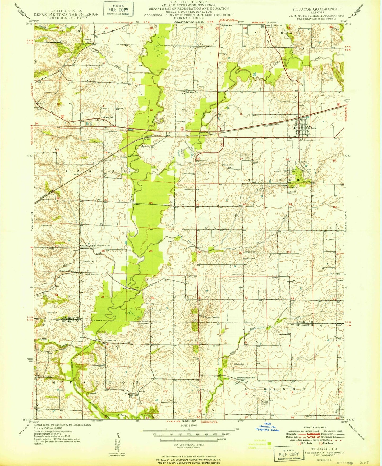
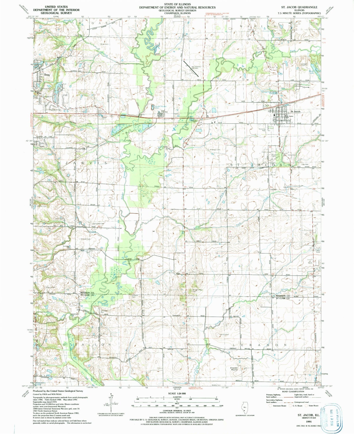
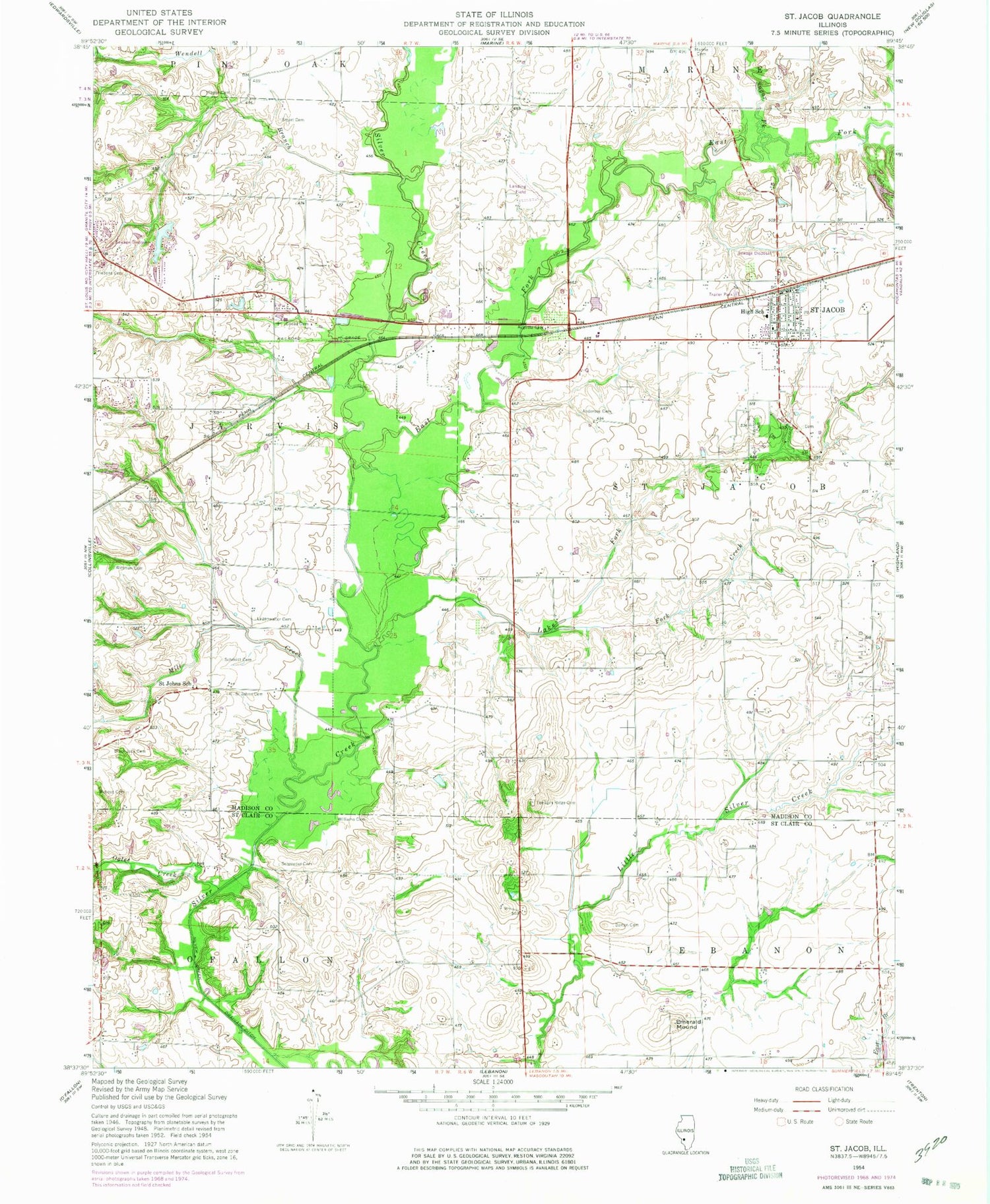
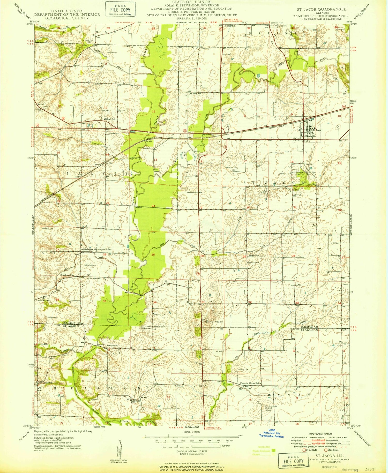
Classic USGS Saint Jacob Illinois 7.5'x7.5' Topo Map
Couldn't load pickup availability
Historical USGS topographic quad map of Saint Jacob in the state of Illinois. Map scale may vary for some years, but is generally around 1:24,000. Print size is approximately 24" x 27"
This quadrangle is in the following counties: Madison, St. Clair.
The map contains contour lines, roads, rivers, towns, and lakes. Printed on high-quality waterproof paper with UV fade-resistant inks, and shipped rolled.
Contains the following named places: Anderson Family Cemetery, Augusta Cemetery, Badsby Cemetery, Barton Cemetery, Cool Breeze Farm, Demange Farm, Dugger Cemetery, East Fork Silver Creek, Emerald Mound, First United Methodist Church, Fork Creek, Friedens Cemetery, Gerke Cemetery, Gilead Cemetery, Hagler Cemetery, Keystone City Cemetery, Lake Fork, Langenwalter Cemetery, Marine City Cemetery, Micks Lake, Micks Lake Dam, Mill Creek, North Fork Mill Creek, Ogles Creek, Saint Jacob, Saint Jacob Post Office, Saint Jacob School, Saint Jacob Township Fire Protection District, Saint Jacob Township Park, Saint Jacob United Church of Christ, Saint James Catholic Church, Saint John the Baptist Catholic Church, Saint John the Baptist Cemetery, Saint Johns Evangelical Cemetery, Saint Johns School, Schmidt Cemetery, Schroeder Cemetery, Shafer Metro East Airport, Smart Family Burial Ground, St Louis Metro-East Airport/Shafer Field, Sugar Fork, Terrapin Ridge Cemetery, Township of Jarvis, Township of Saint Jacob, Triad High School, Troy Sewage Treatment Plant, Twin Lakes, Twin Lakes Dam, Village of Saint Jacob, Wendell Branch, Widicus Cemetery, Williams Cemetery, Wittman Cemetery, ZIP Codes: 62281, 62294
