MyTopo
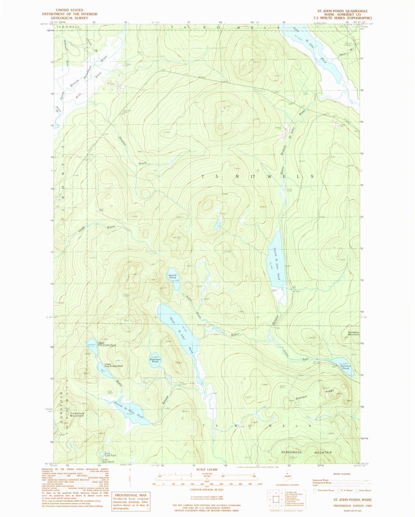
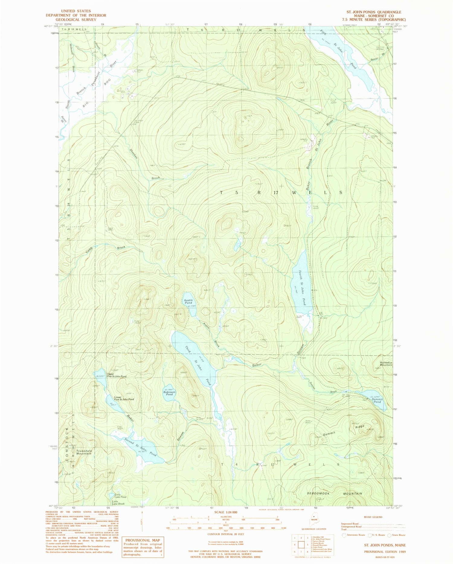
Classic USGS Saint John Ponds Maine 7.5'x7.5' Topo Map
Couldn't load pickup availability
Historical USGS topographic quad map of Saint John Ponds in the state of Maine. Typical map scale is 1:24,000, but may vary for certain years, if available. Print size: 24" x 27"
This quadrangle is in the following counties: Somerset.
The map contains contour lines, roads, rivers, towns, and lakes. Printed on high-quality waterproof paper with UV fade-resistant inks, and shipped rolled.
Contains the following named places: Austin Brook, Austin Pond, Baker Stream, Beaver Brook, Fourth Saint John Pond, Little Lane Pond, Lower First Saint John Pond, McDonald Brook, Prouty Brook, Robinson Pond, Second Saint John Pond, Sheehan Brook, Summit Brook, Summit Pond, Summit Ridge, Third Saint John Pond, Truesdale Mountain, Upper First Saint John Pond, Unorganized Territory of Seboomook Lake, T5 R17 WELS