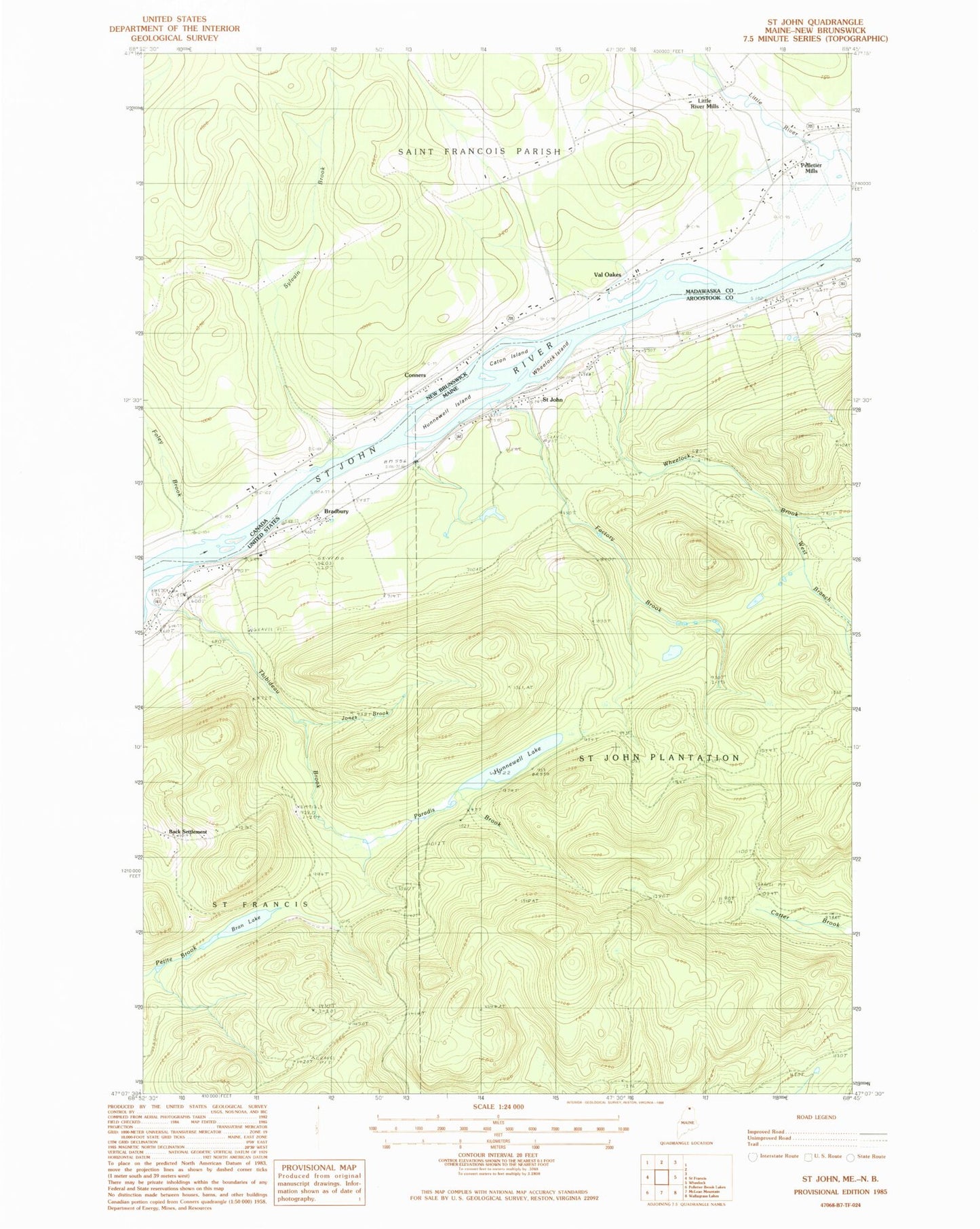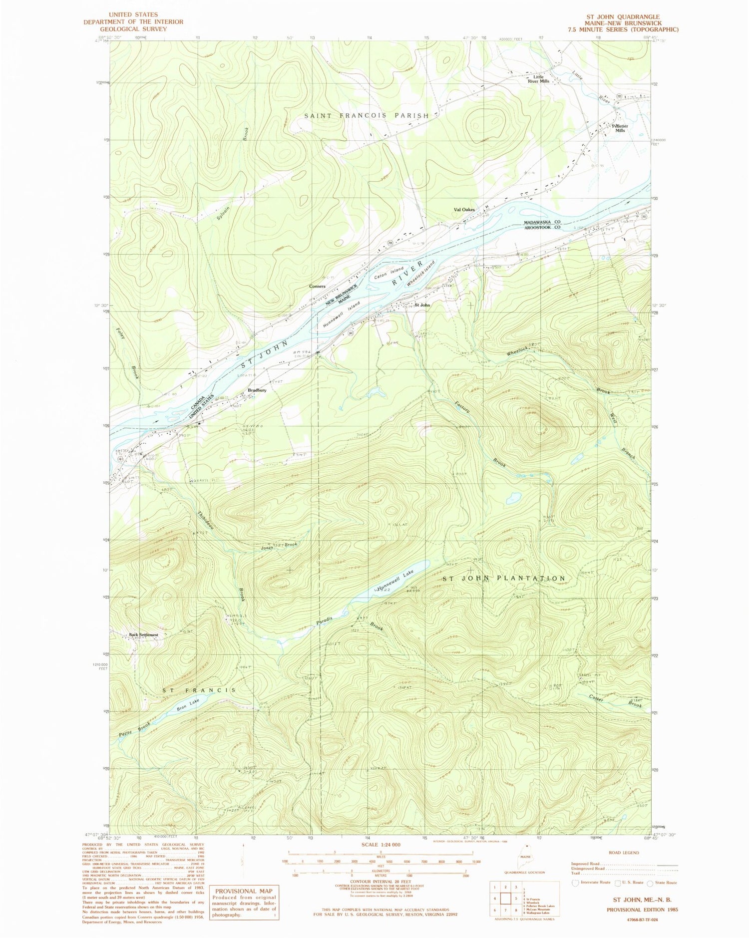

MyTopo
Classic USGS Saint John Maine 7.5'x7.5' Topo Map
Couldn't load pickup availability
Historical USGS topographic quad map of Saint John in the state of Maine. Map scale may vary for some years, but is generally around 1:24,000. Print size is approximately 24" x 27"
This quadrangle is in the following counties: Aroostook.
The map contains contour lines, roads, rivers, towns, and lakes. Printed on high-quality waterproof paper with UV fade-resistant inks, and shipped rolled.
Contains the following named places: Back Settlement, Bradbury, Bran Lake, Caton Island, Factory Brook, Harding School, Hunnewell Island, Hunnewell Lake, Hunnewell Lake Dam, Jones Brook, Kelly Brook, Paradis Brook, Plantation of Saint John, Saint Charles Cemetery, Saint John, Saint John Baptist Church Cemetery, Saint John Catholic Cemetery, Saint John Church, Thibideau Brook, West Branch Wheelock Brook, Wheelock Brook, Wheelock Island