MyTopo
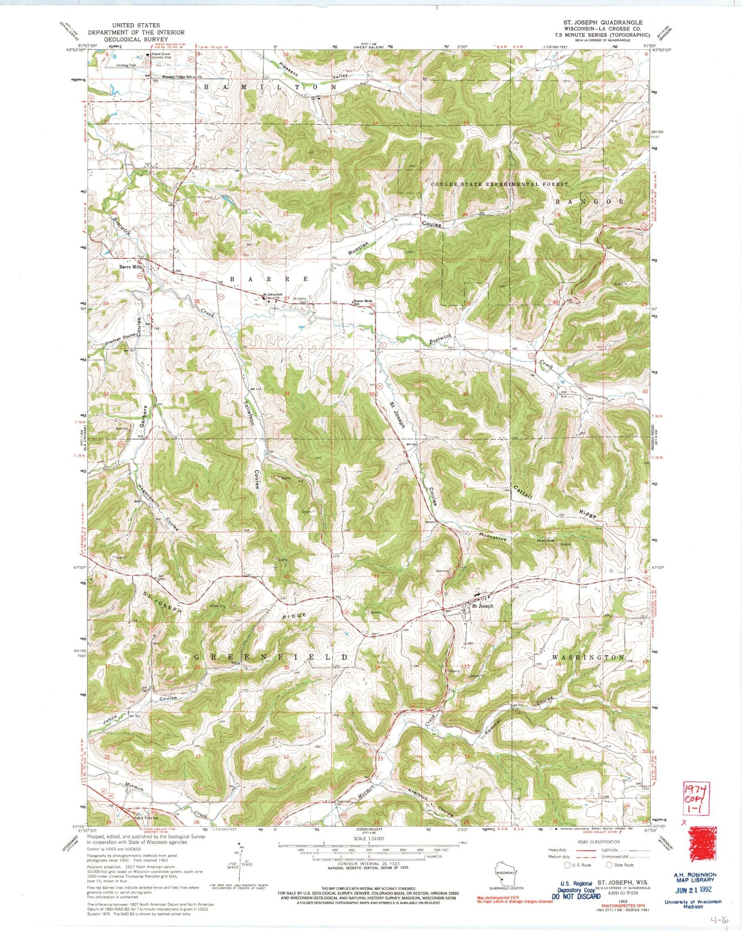
Classic USGS Saint Joseph Wisconsin 7.5'x7.5' Topo Map
Couldn't load pickup availability
Historical USGS topographic quad map of Saint Joseph in the state of Wisconsin. Map scale may vary for some years, but is generally around 1:24,000. Print size is approximately 24" x 27"
This quadrangle is in the following counties: La Crosse.
The map contains contour lines, roads, rivers, towns, and lakes. Printed on high-quality waterproof paper with UV fade-resistant inks, and shipped rolled.
Contains the following named places: Barre Mills, Barre Mills Cemetery, Cattail Ridge, Coulee State Experimental Forest, Drectrah Coulee, Garbers Coulee, Grandview School, Hagenbarth Coulee, Irish Coulee School, Kammel Coulee, Krelbich Coulee, Maple Grove Country Club, Moonshine Hollow, Old Saint Johns Cemetery, Pershing School, Pleasant Valley School, Roesler Coulee, Russlan Coulee, Saint Johns Cemetery, Saint Johns School, Saint Joseph, Saint Joseph Census Designated Place, Saint Joseph Coulee, Saint Joseph Ridge, Saint Joseph Ridge Catholic Cemetery, Saint Joseph School, Sunny Mede School, Sunnybrook School, Tollefson Coulee, Town of Barre, Town of Greenfield, Valley View School, Victory School


