MyTopo
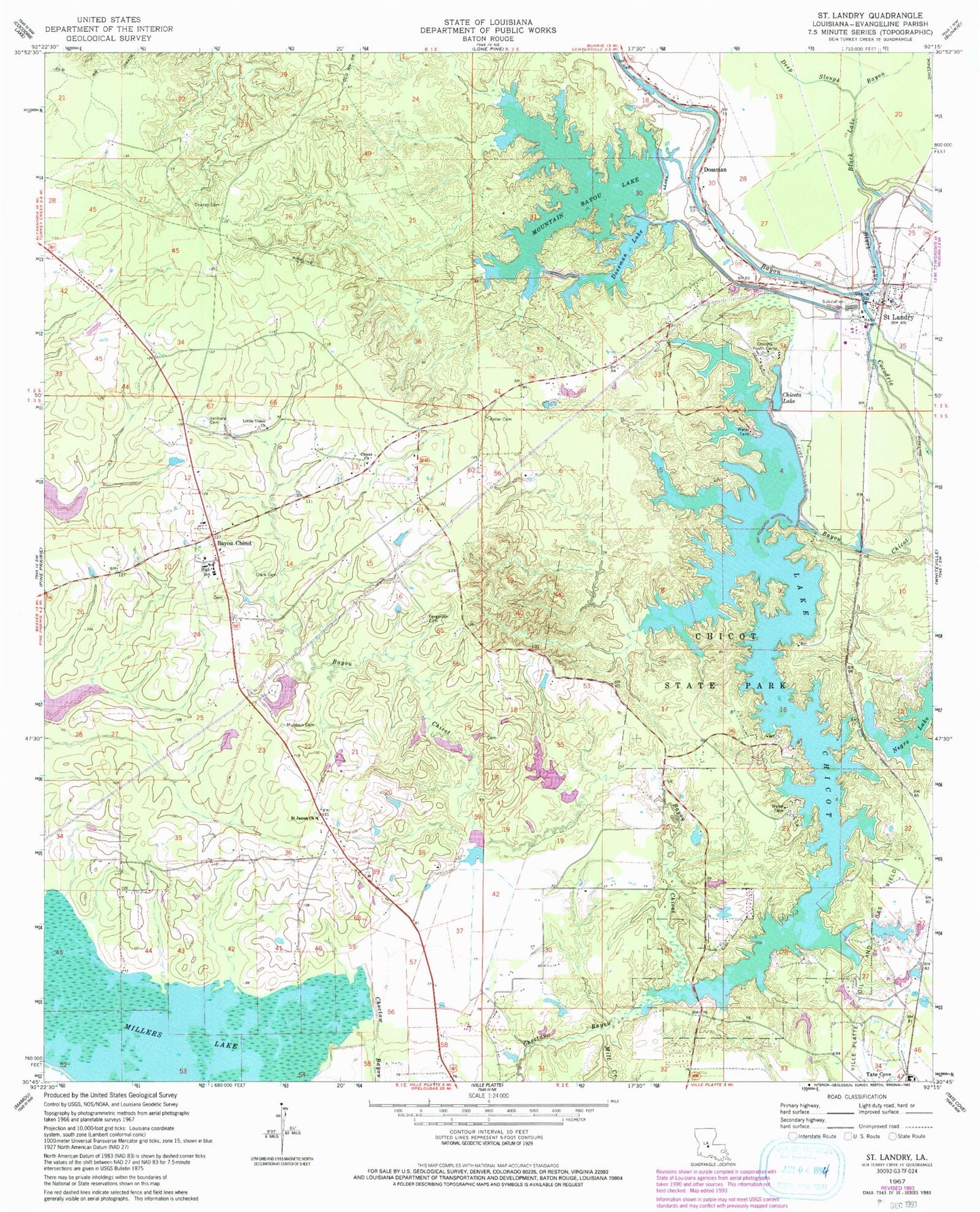
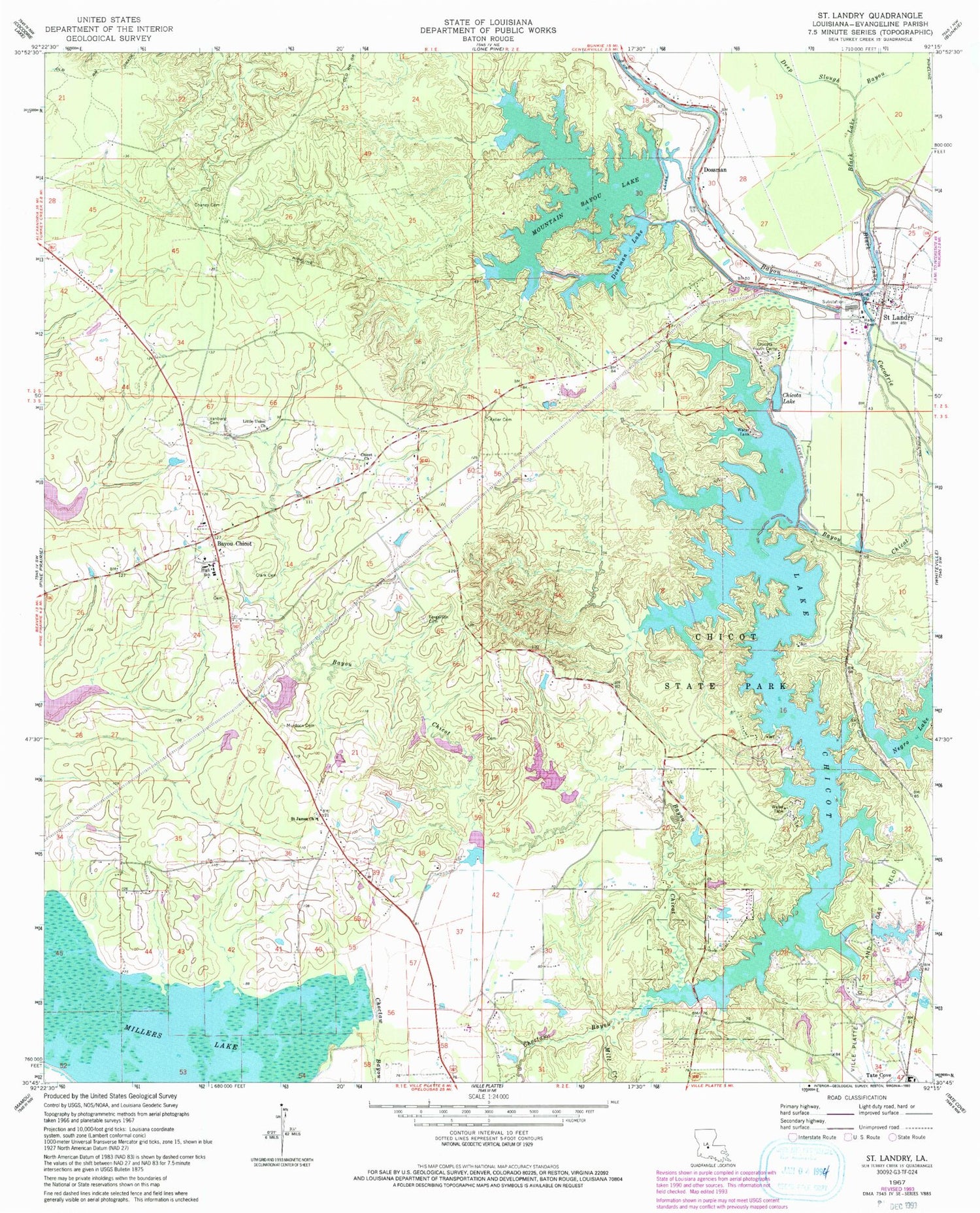
Classic USGS Saint Landry Louisiana 7.5'x7.5' Topo Map
Couldn't load pickup availability
Historical USGS topographic quad map of Saint Landry in the state of Louisiana. Typical map scale is 1:24,000, but may vary for certain years, if available. Print size: 24" x 27"
This quadrangle is in the following counties: Evangeline.
The map contains contour lines, roads, rivers, towns, and lakes. Printed on high-quality waterproof paper with UV fade-resistant inks, and shipped rolled.
Contains the following named places: Bayou Chicot, Black Lake Bayou, Chaney Cemetery, Chicot Church, Chicot State Park, Choctaw Bayou, Clark Cemetery, Deep Slough, Fergerson Cemetery, Keller Cemetery, Little Union Church, Mill Creek, Murdock Cemetery, Saint Landry, Vandenburg Cemetery, Dossman, Ward Five, Bayou Chicot Elementary School, Bayou Chicot Methodist Church, Hester Heath Elementary School (historical), Mountain Bayou Scout Camp, Ebnor Spur (historical), Omo (historical), Bayou Chicot, Black Lake, Lake Chicot, Chicota Lake, Chicota Youth Camp, Dossman Lake, Mountain Bayou Lake, Negro Lake, Saint James Baptist Church, Chicot Lake Dam, Doctor Charles Aswell Lake Dam, Aswell Lake, Woodson Harvey Junior Lake Number One Dam, Harveys Lake, Woodson Harvey Junior Lake Number Two Dam, Harveys Lake, Woodson Harvey Junior Lake Number Three Dam, Harveys Lake, Cazans Lake Dam, Saint Landry Post Office, Parish Governing Authority District 5, Chicot Head Start School, Ville Platte Golf and Country Club, Morning Pilgrim Baptist Church, Mount Triumph Baptist Church, Louisiana State Arboretum, Saint Landry Volunteer Fire Department


