MyTopo
Classic USGS Saint Marks NE Florida 7.5'x7.5' Topo Map
Regular price
$16.95
Regular price
Sale price
$16.95
Unit price
per
Couldn't load pickup availability
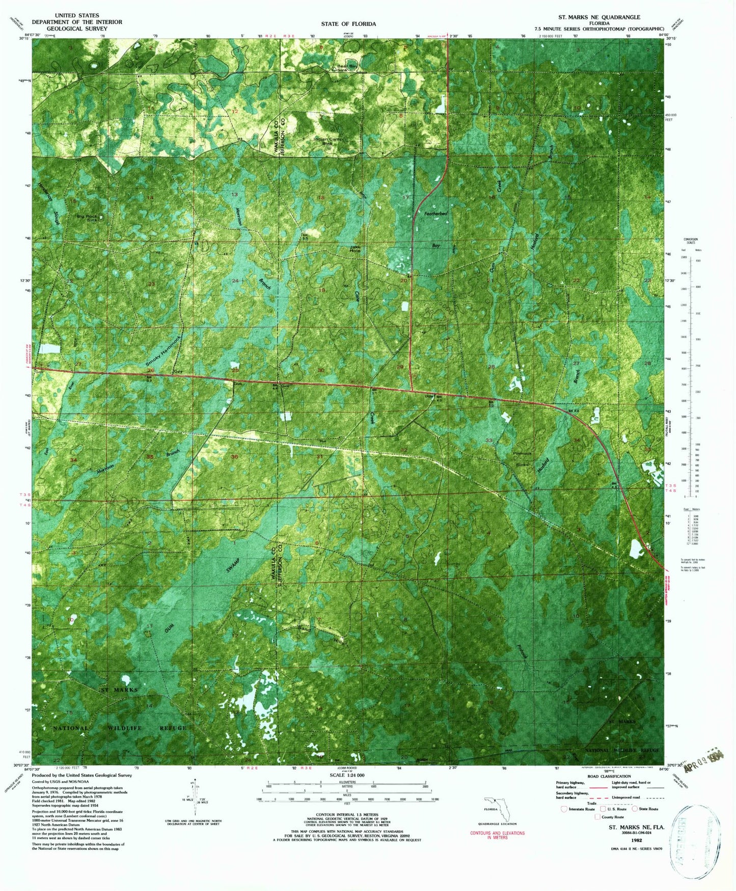
Historical USGS topographic quad map of Saint Marks NE in the state of Florida. Map scale may vary for some years, but is generally around 1:24,000. Print size is approximately 24" x 27"
This quadrangle is in the following counties: Jefferson, Wakulla.
The map contains contour lines, roads, rivers, towns, and lakes. Printed on high-quality waterproof paper with UV fade-resistant inks, and shipped rolled.
Contains the following named places: Aucilla Wildlife Management Are, Bear Bay Sink, Big Rock Sink, Featherbed Bay, Gum Creek, Gum Swamp, Henderson Slough, Hosford Branch, Indian Camp Sink, Jake Hole, Morrison Branch, Pinhook Sinks, Sand Hills, Smoky Hammock, Topocapa