MyTopo
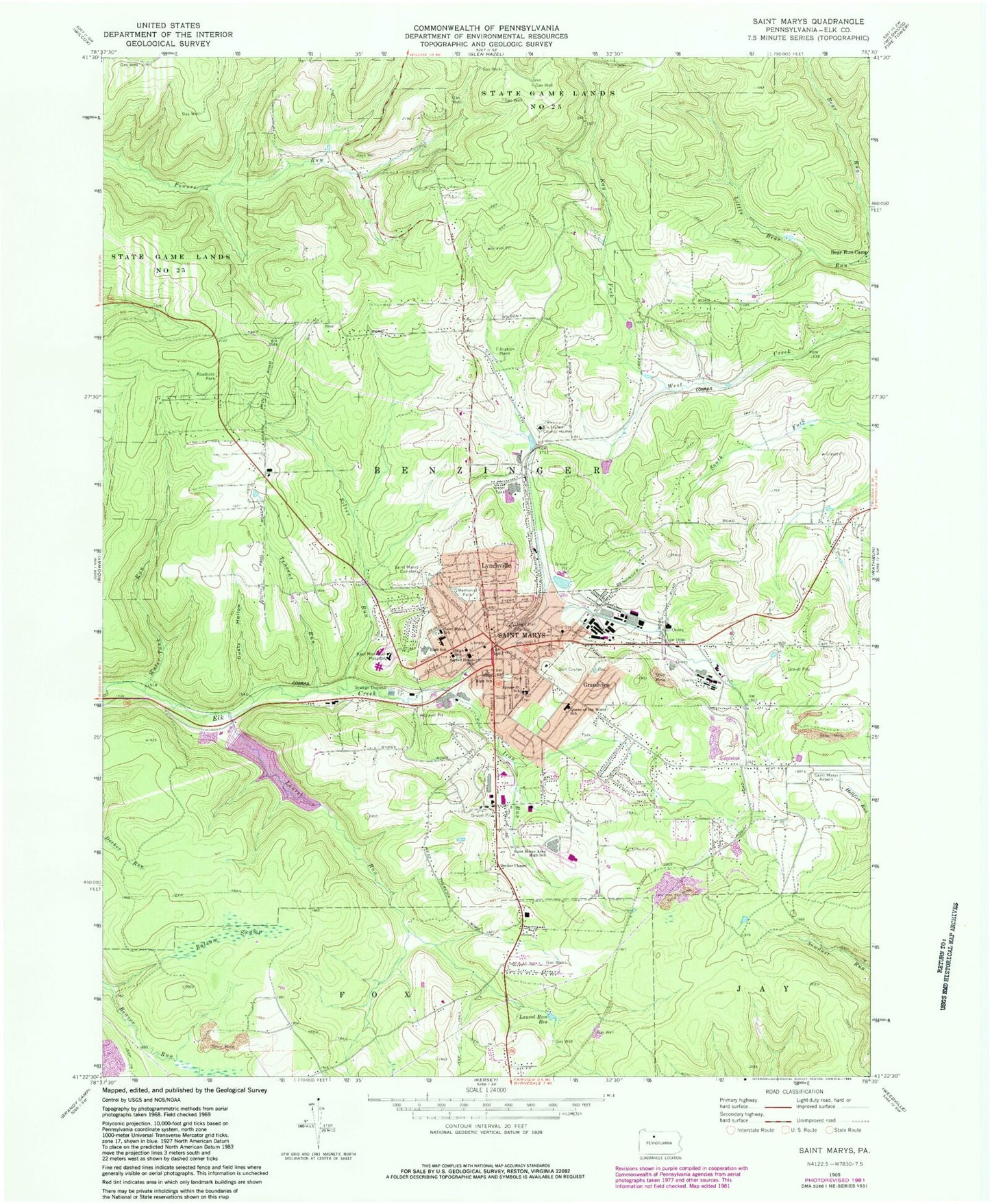
Classic USGS Saint Marys Pennsylvania 7.5'x7.5' Topo Map
Couldn't load pickup availability
Historical USGS topographic quad map of Saint Marys in the state of Pennsylvania. Map scale may vary for some years, but is generally around 1:24,000. Print size is approximately 24" x 27"
This quadrangle is in the following counties: Elk.
The map contains contour lines, roads, rivers, towns, and lakes. Printed on high-quality waterproof paper with UV fade-resistant inks, and shipped rolled.
Contains the following named places: Balsam Swamp, Benzinger, Bucktail Trail, City of Saint Marys, Crystal Fire Department Company 1 Station 11, Crystal Fire Department Company 1 Station 13, Decker Chapel, Dusty Hollow, Elk Haven County Home, Grandview, Iron Run, Kaulmont, Kay Fork, Laural Run Reservoir, Laurel Run, Laurel Run Reservoir, Lynchville, Penn Highland Elk Hospital, Queen of the World School, Sacred Heart School, Saint Joseph Convent Cemetery, Saint Marys, Saint Marys Area Ambulance Service, Saint Marys Area High School, Saint Mary's Catholic Cemetery, Saint Marys Police Department, Saint Marys Post Office, Saint Marys Protestant Cemetery, Saint Marys School, Saint Michael's Cemetery, Scahonda, Silver Run, Spruce Street School, St Marys Municipal Airport, Tencent Run, Township of Benzinger, Water Tank Run, WKBI-AM (Saint Marys), WTMX-FM (St Marys), ZIP Code: 15857


