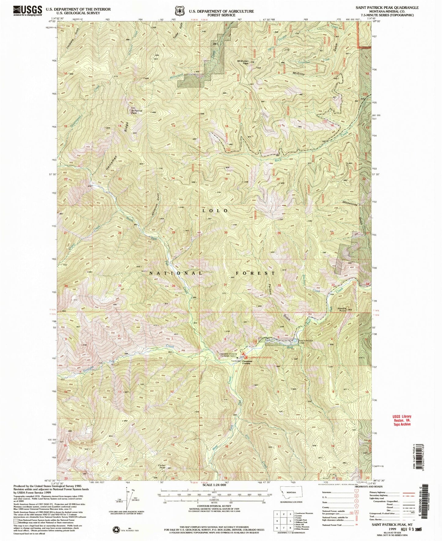
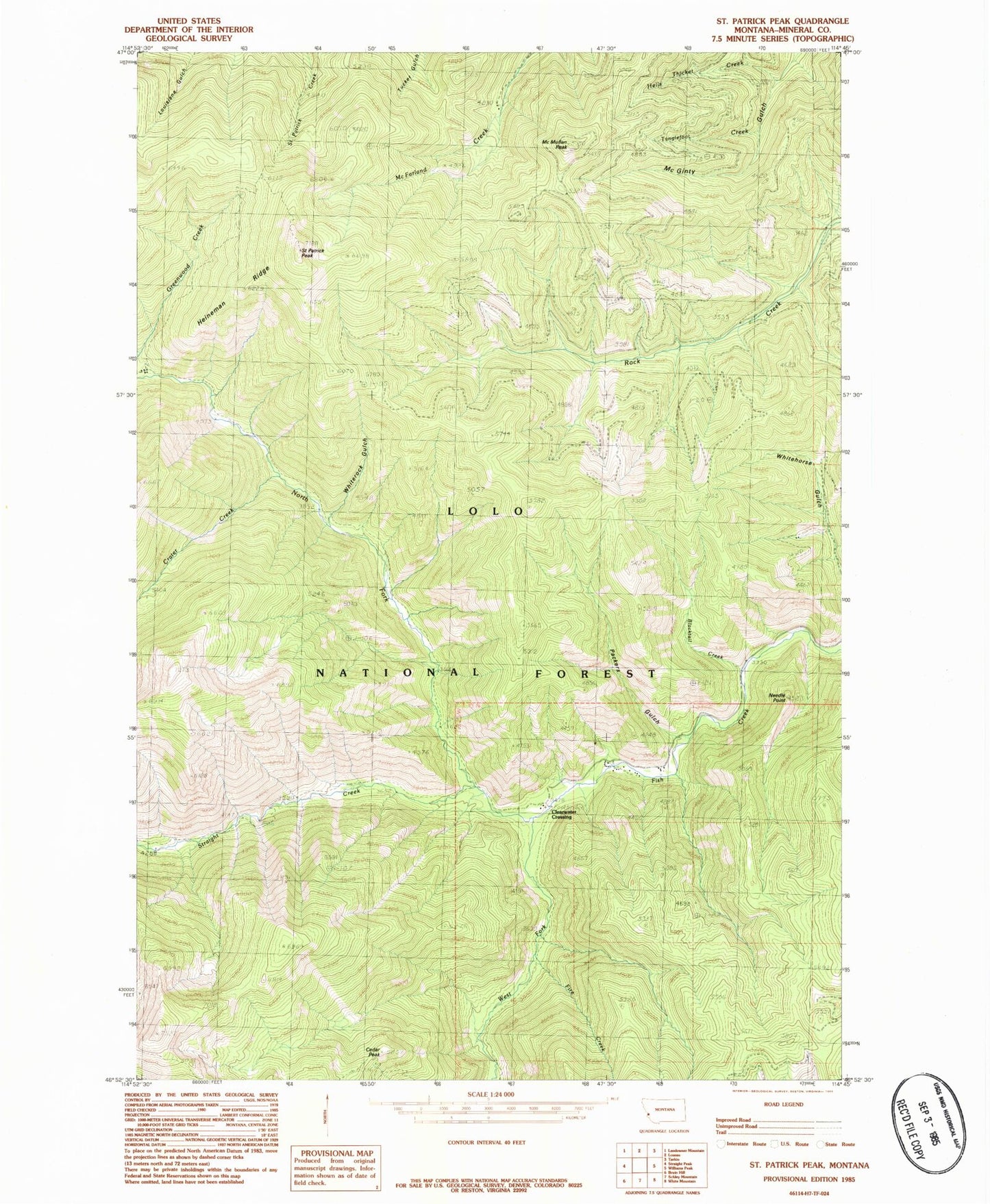
MyTopo
Classic USGS Saint Patrick Peak Montana 7.5'x7.5' Topo Map
Couldn't load pickup availability
Historical USGS topographic quad map of Saint Patrick Peak in the state of Montana. Typical map scale is 1:24,000, but may vary for certain years, if available. Print size: 24" x 27"
This quadrangle is in the following counties: Mineral.
The map contains contour lines, roads, rivers, towns, and lakes. Printed on high-quality waterproof paper with UV fade-resistant inks, and shipped rolled.
Contains the following named places: Heineman Ridge, Baileys Lodge, Blacktail Creek, Cedar Peak, Clear Water Crossing Ranger Station, Crater Creek, Fire Creek, Hells Thicket Creek, Hole-in-the-Wall Ranch, McMullan Peak, Needle Point, North Fork Fish Creek, Packers Gulch, Rivulet Peak, Saint Patrick Peak, Straight Creek, Tanglefoot Creek, West Fork Fish Creek, Clearwater Crossing Campground, Whiterock Gulch