MyTopo
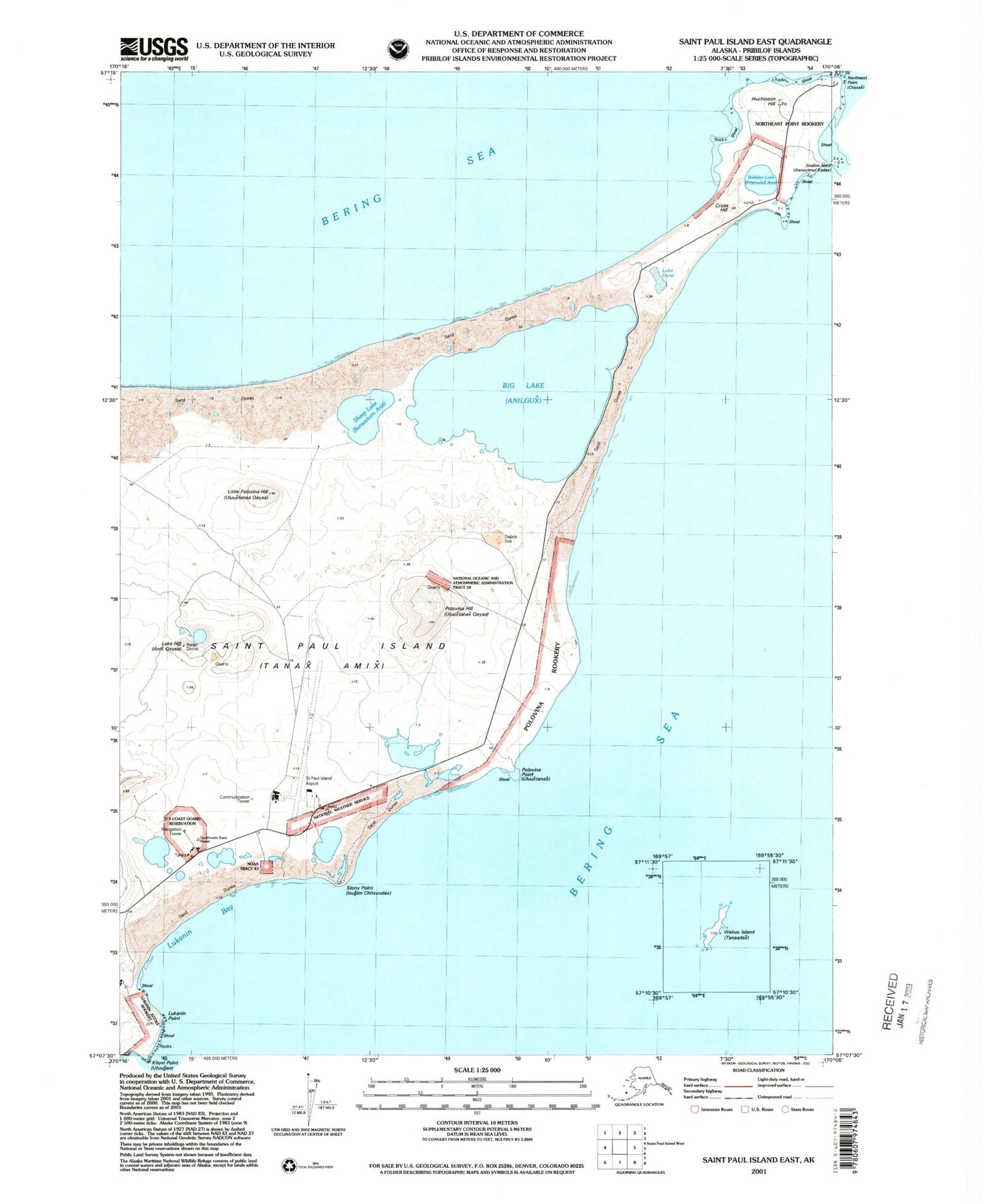
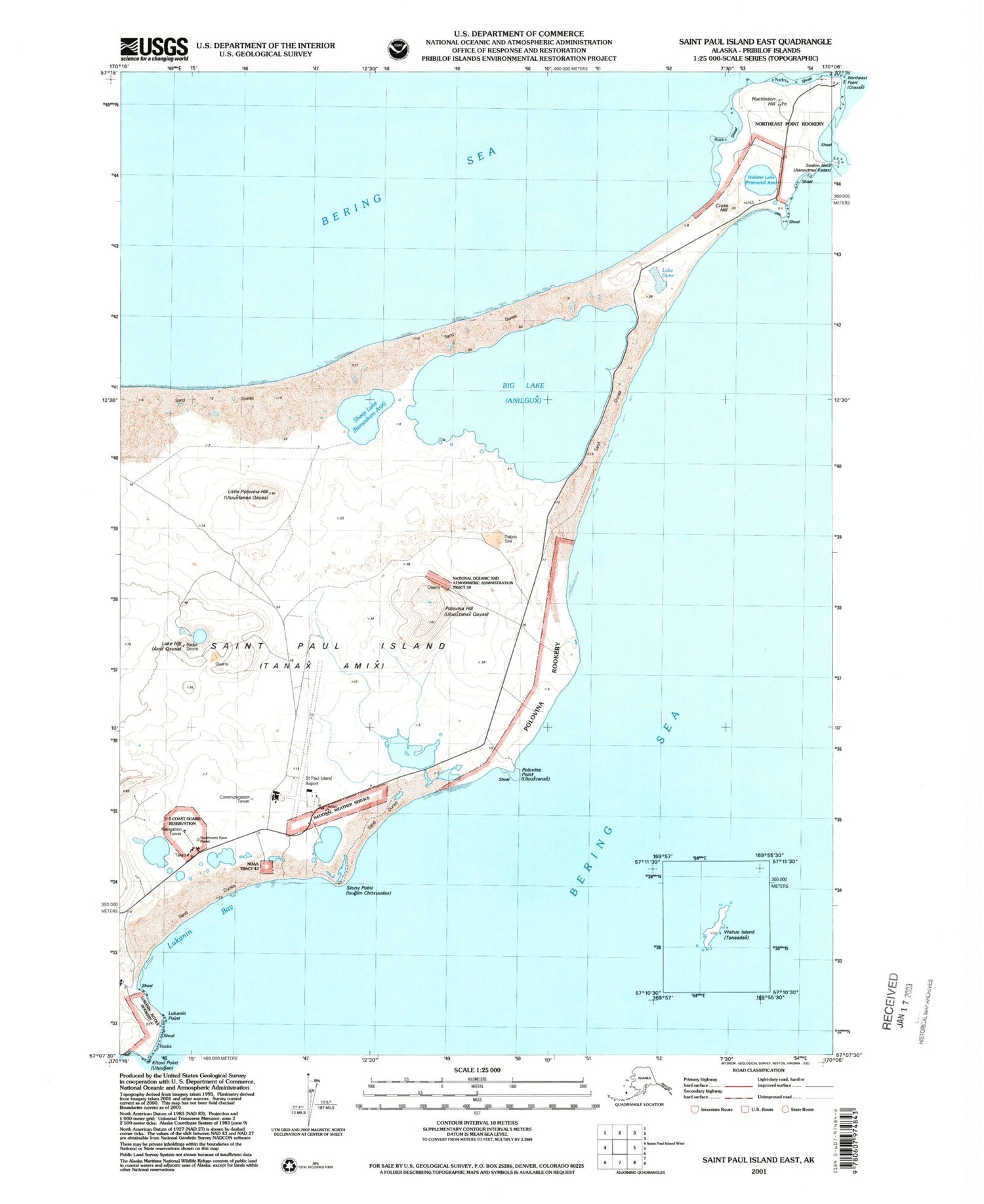
Classic USGS Saint Paul Island East Alaska 7.5'x7.5' Topo Map
Couldn't load pickup availability
Historical USGS topographic quad map of Saint Paul Island East in the state of Alaska. Map scale may vary for some years, but is generally around 1:24,000. Print size is approximately 24" x 27"
This quadrangle is in the following counties: Aleutians West (CA).
The map contains contour lines, roads, rivers, towns, and lakes. Printed on high-quality waterproof paper with UV fade-resistant inks, and shipped rolled.
Contains the following named places: Anidax Anii, Baraabrax Anii, Big Lake, Bluudichax Anii, Chaaskax Anii, Chigilix Anii, Chugilgux, Chugux Anii, Chuluugidax Anii, City of Saint Paul, Cross Hill, Hutchinson Hill, Icehouse Lake, Kalukax Anii, Kamenisti Lake, Kaxilax Anii, Lake Dune, Lake Hill, Little Polovina Hill, Little Polovina Rookery, Loran Station Saint Paul, Lukanin Bay, Lukanin Hill, Lukanin Point, Luugix Anii, Ngatxux Uluuxtanax Anii, North Bay, North Beach, Polovina Hill, Polovina Lake, Polovina Point, Polovina Rookery, Polovina Sands, Pribilof Islands, Qakaankinga, Qamgaagam Anii, Qaqa Anii, Qayam Anii, Qyaam Aniidax, Rocky Lake, Sakuchax Anii, Seal Island Historic District, Sheep Lake, St Paul Island Airport, Stony Point, Tumdaanax Anii, Unalixtalix Uluuxtanax Anii, Vostochnie, Webster Lake


