MyTopo
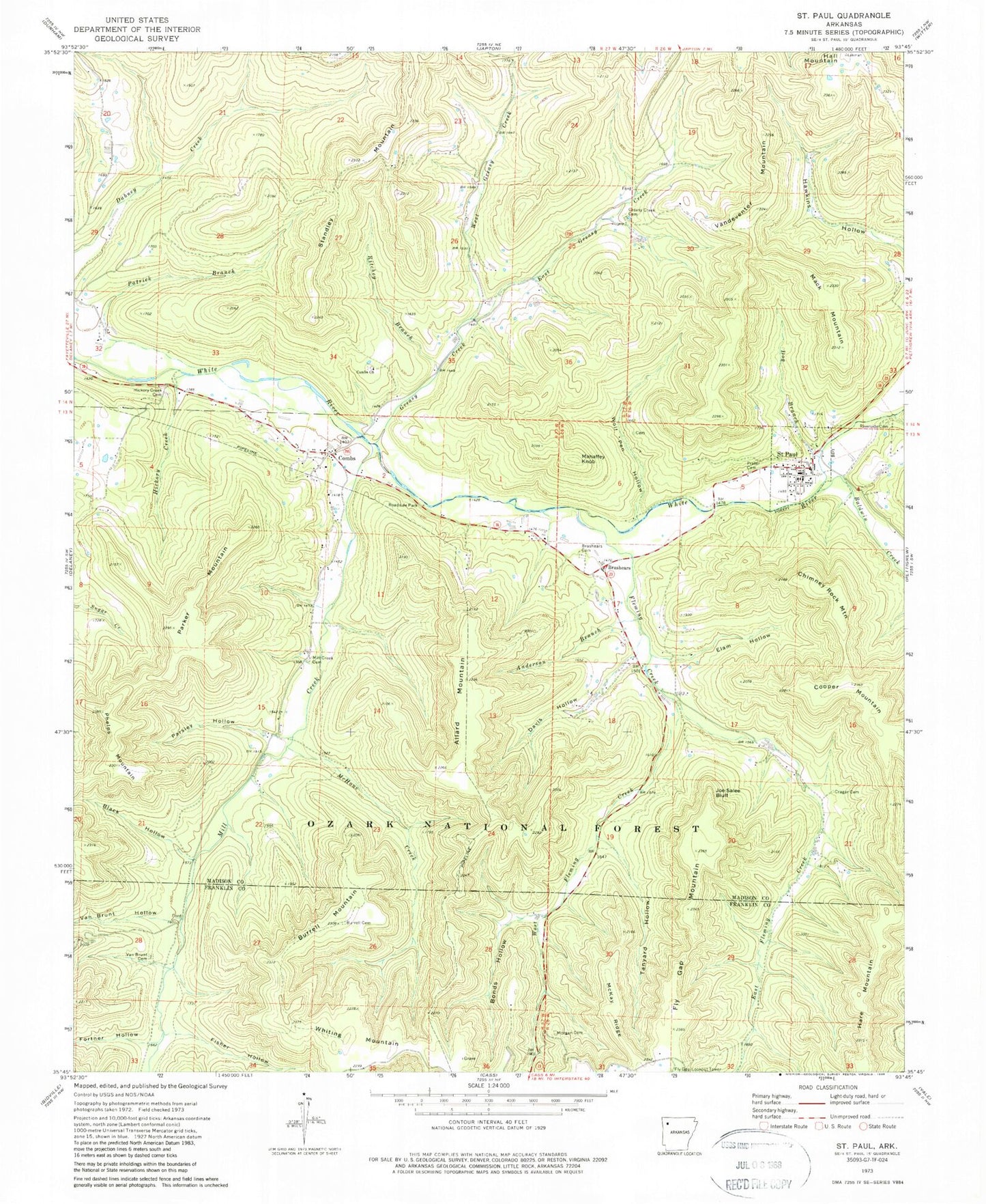
Classic USGS Saint Paul Arkansas 7.5'x7.5' Topo Map
Couldn't load pickup availability
Historical USGS topographic quad map of Saint Paul in the state of Arkansas. Typical map scale is 1:24,000, but may vary for certain years, if available. Print size: 24" x 27"
This quadrangle is in the following counties: Franklin, Madison.
The map contains contour lines, roads, rivers, towns, and lakes. Printed on high-quality waterproof paper with UV fade-resistant inks, and shipped rolled.
Contains the following named places: Brashears, Brashears Cemetery, Saint Paul Elementary School, Saint Paul High School, Township of Mill Creek (historical), Allard Mountain, Anderson Branch, Baldwin Creek, Black Hollow, Bonds Hollow, Burrell Cemetery, Burrell Mountain, Chimney Rock Mountain, Combs, Combs Church, Cooper Mountain, Cragar Cemetery, Davis Hollow, Dog Branch, East Fleming Creek, East Greasy Creek, Elam Hollow, Fisher Hollow, Fleming Creek, Fly Gap Mountain, Fortner Hollow, Greasy Creek, Greasy Creek Cemetery, Hall Mountain, Hare Mountain, Hickory Creek, Hickory Creek Cemetery, Joe Salee Bluff, Mack Mountain, Mahaffey Knob, McHone Creek, McKay Ridge, Mill Creek, Morgan Cemetery, Parker Mountain, Parsley Hollow, Patrick Branch, Phelps Mountain, Prater Cemetery, Ritchey Branch, Riverside Cemetery, Saint Paul, Standley Mountain, Tanyard Hollow, Van Brunt Cemetery, Van Brunt Hollow, Vandeventer Mountain, West Fleming Creek, West Greasy Creek, Whiting Mountain, Whiting Mountain, Wolf Pen Hollow, Fly Gap (historical), Mill Creek Cemetery, Gap School (historical), Combs Cemetery, Fairview School (historical), Greenwood School (historical), Soda Cave Creek, Fly Gap Lookout Tower, Combs Post Office, Saint Paul Fire Department, Town of Saint Paul, Saint Paul Post Office


