MyTopo
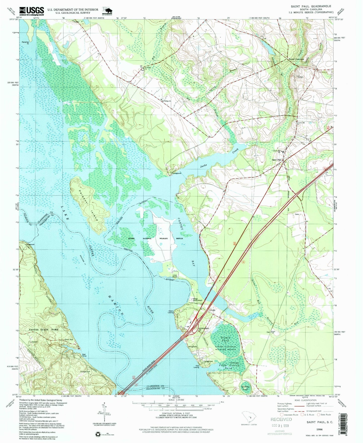
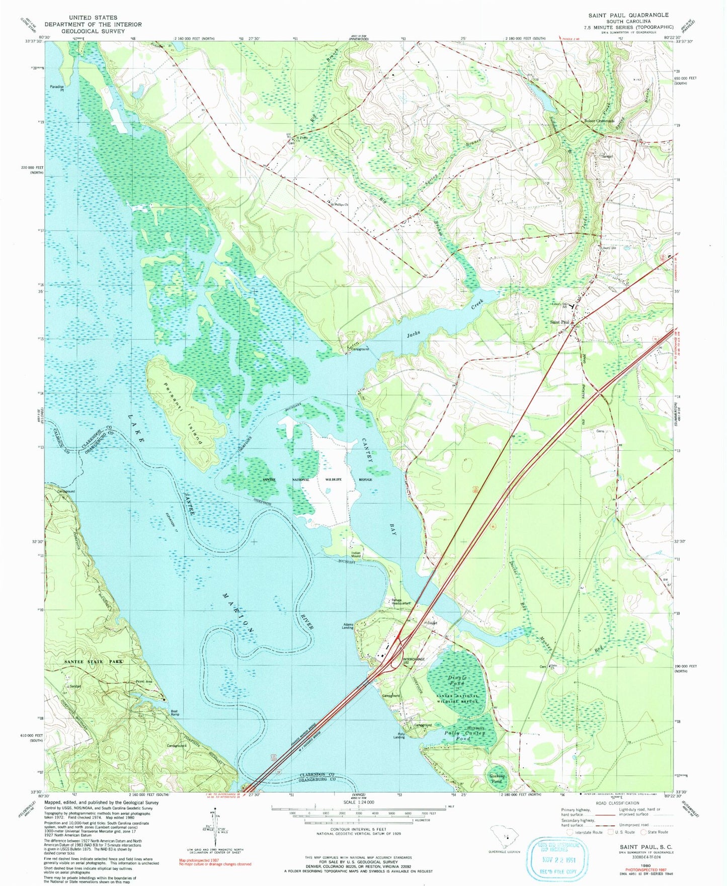
Classic USGS Saint Paul South Carolina 7.5'x7.5' Topo Map
Couldn't load pickup availability
Historical USGS topographic quad map of Saint Paul in the state of South Carolina. Map scale may vary for some years, but is generally around 1:24,000. Print size is approximately 24" x 27"
This quadrangle is in the following counties: Calhoun, Clarendon, Orangeburg.
The map contains contour lines, roads, rivers, towns, and lakes. Printed on high-quality waterproof paper with UV fade-resistant inks, and shipped rolled.
Contains the following named places: Adams Landing, Belser Crossroads, Big Branch, Brown Lake, Cantey Bay, Chapel Branch, Clarendon Fire Department Station 12, Dingle Pond, Doctor Bay, Fort Watson, Francis Marion Bridge, Goshing Pond, Holiness Church, Jacks Creek, Lewis Landing, Liberty Hill Church, Liberty Hill School, Monkey Bay, North Santee, North Santee Census Designated Place, Oaks Church, Oaks School, Paradise Point, Persanti Island, Pinckneys Old Ferry, Pinkey Landing, Polly Cantey Pond, Polly Landing, Saint Paul, Saint Phillip Church, Saint Phillips Church, Saint Phillips School, Santee State Park, Scotts Lake, Sean's Poultry Farm, South Carolina Noname 14007 D-3500 Dam, South Carolina Noname 38081 D-3744 Dam, South Carolina Noname 38082 D-3745 Dam, Spring Branch, Stave Island, Stukes Pond, Sullivans Branch, W J Gooding Bridge, Wrights Landing