MyTopo
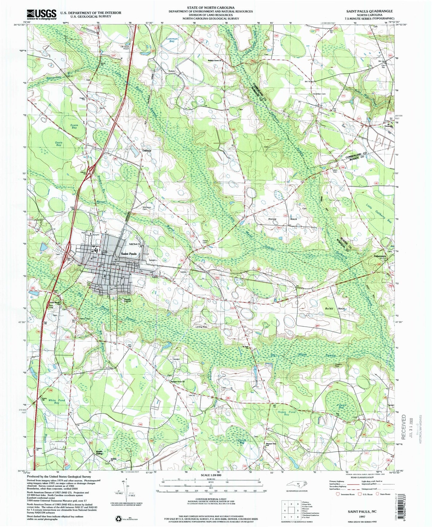
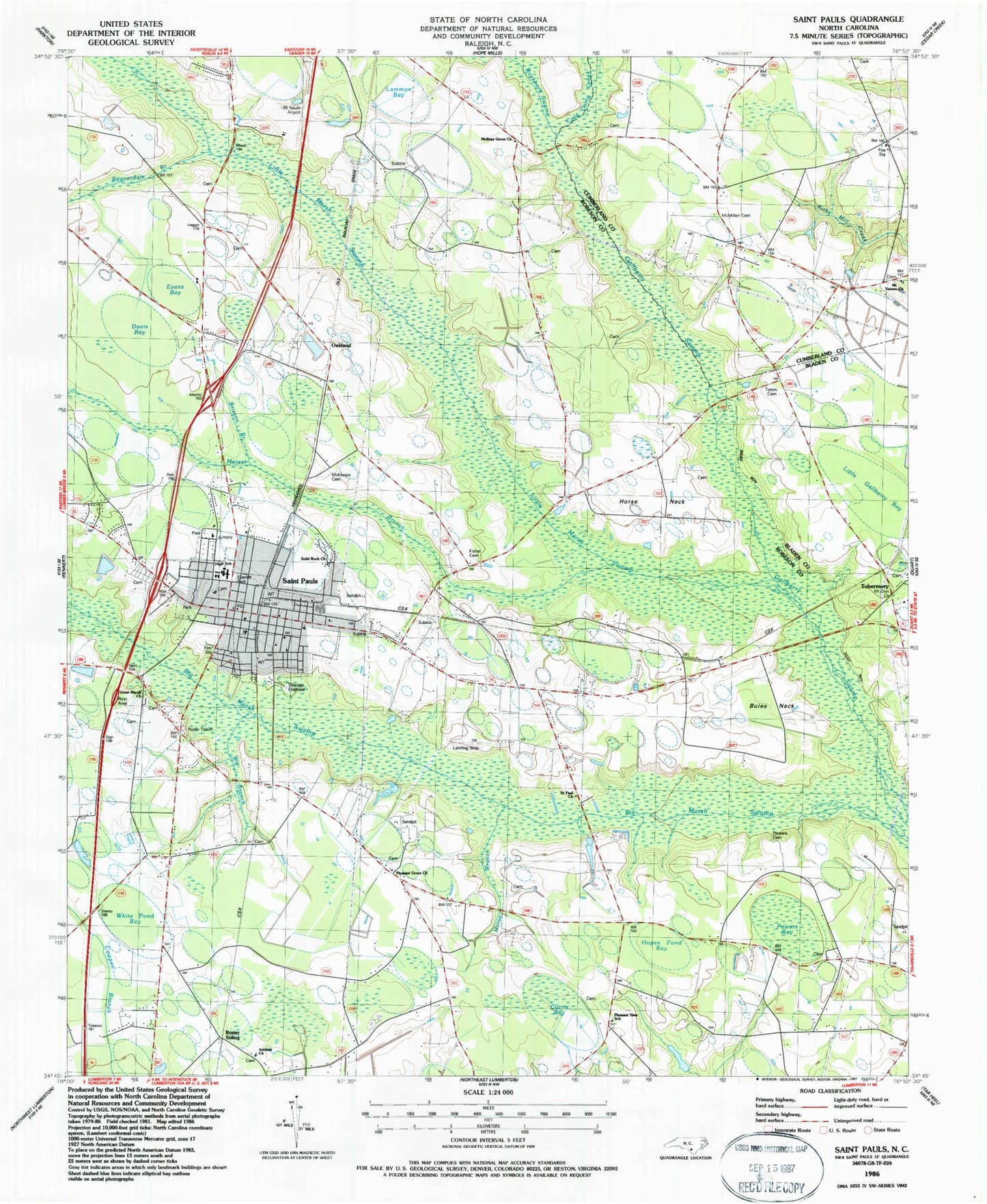
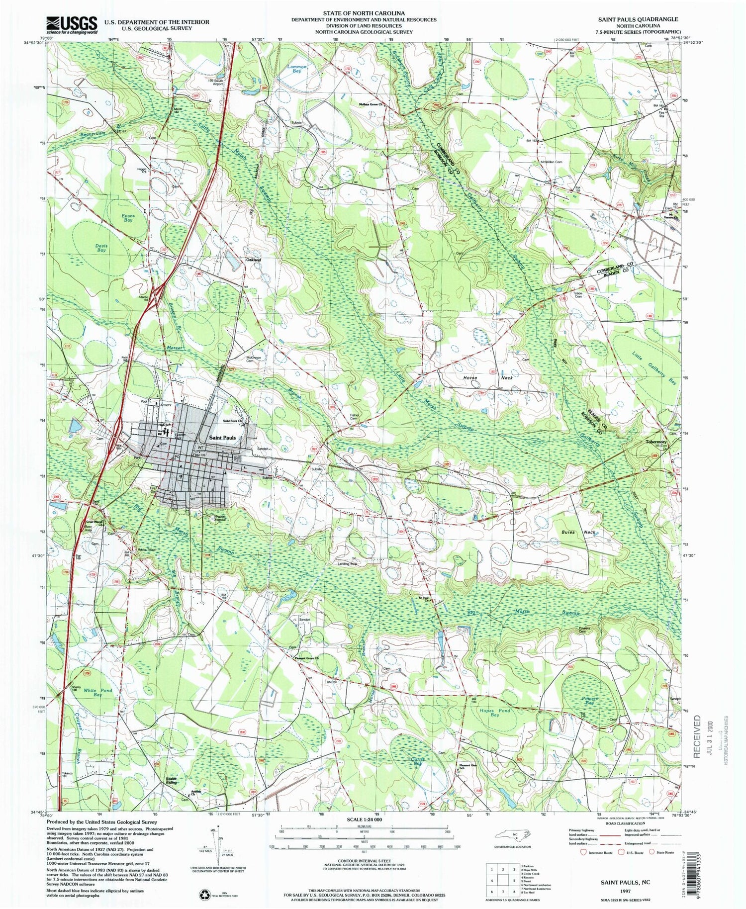
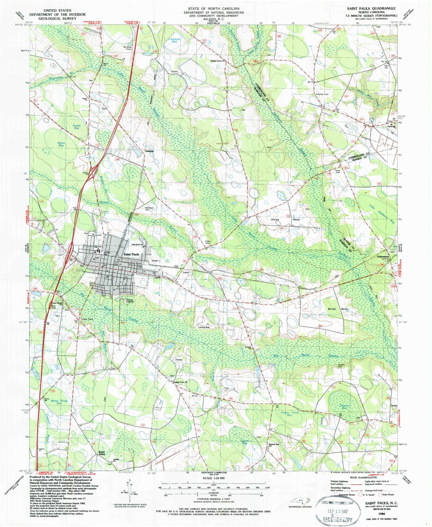
Classic USGS Saint Pauls North Carolina 7.5'x7.5' Topo Map
Couldn't load pickup availability
Historical USGS topographic quad map of Saint Pauls in the state of North Carolina. Map scale may vary for some years, but is generally around 1:24,000. Print size is approximately 24" x 27"
This quadrangle is in the following counties: Bladen, Cumberland, Robeson.
The map contains contour lines, roads, rivers, towns, and lakes. Printed on high-quality waterproof paper with UV fade-resistant inks, and shipped rolled.
Contains the following named places: Antioch Church, Beaverdam Branch, Big Branch, Big Marsh Volunteer Fire Department, Brisson Branch, Buckhorn Swamp, Buies Neck, Cold Camp Creek, Currie Bay, Davis Bay, Deerfield Farm Mobile Home Park, Evans Bay, Everett Park, Evergreen Rehabilitation Center, Fisher Cemetery, French Church, Grays Creek Fire Department Station 18, Great Marsh Church, Hopes Pond Bay, Horse Branch, Horse Neck, Lammon Bay, Little Gallberry Bay, Little Marsh Swamp, Mallory Church, McKinnon Cemetery, McMillan Cemetery, Mercer Branch, Molloys Grove Church, Mount Vernon Church, Mount Zion Church, Oakland, Odom Pond, Pleasant Grove Church, Pleasant View School, Powers Bay, Powers Cemetery, Rozier Siding, Saint Paul Church, Saint Paul High School, Saint Pauls, Saint Pauls Elementary School, Saint Paul's Emergency Medical Service, Saint Pauls Fire Department, Saint Pauls High School, Saint Pauls Middle School, Saint Pauls Police Department, Saint Pauls Post Office, Sandy Grove Church, Solid Rock Church, Southern Comforts Aerodrome, Tailwinds Airport, Tobermory, Tobermory Volunteer Fire Department, Town of Saint Pauls, Township of Saint Pauls, Tyson Cemetery, White Pond Bay, WNCR-AM (Saint Pauls), ZIP Code: 28384


