MyTopo
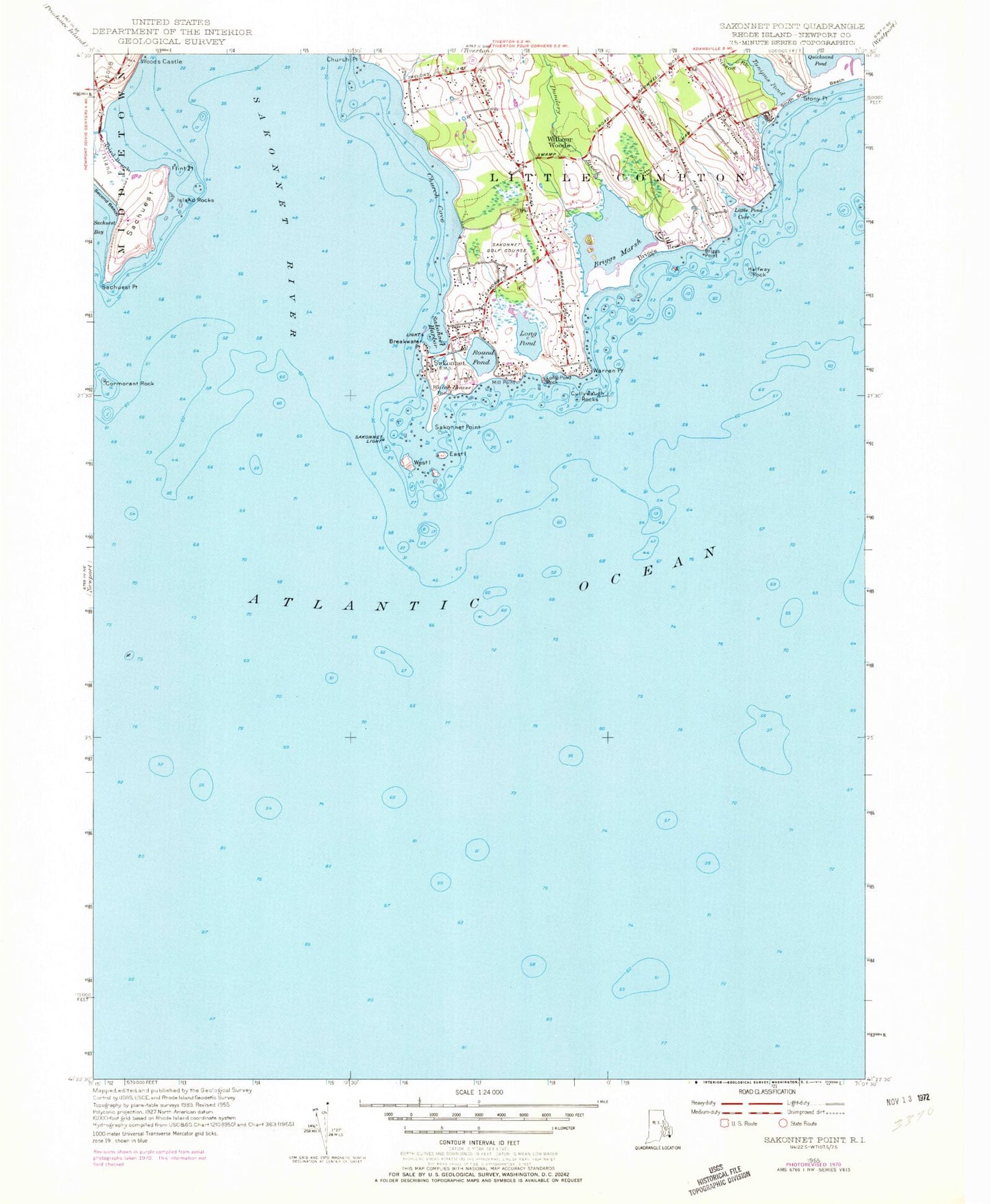
Classic USGS Sakonnet Point Rhode Island 7.5'x7.5' Topo Map
Couldn't load pickup availability
Historical USGS topographic quad map of Sakonnet Point in the state of Rhode Island. Map scale may vary for some years, but is generally around 1:24,000. Print size is approximately 24" x 27"
This quadrangle is in the following counties: Newport.
The map contains contour lines, roads, rivers, towns, and lakes. Printed on high-quality waterproof paper with UV fade-resistant inks, and shipped rolled.
Contains the following named places: Bahia Corner, Box Rock, Breakwater Point, Briggs Beach, Briggs Brownell Lot Cemetery, Briggs Marsh, Briggs Point, Chase Point, Church Cove, Church Point, Church Rocks, Cormorant Reef, Cormorant Rock, Creek Rock, Cullywaugh Rocks, Dolphin Rock, Dundery Brook, East Island, Elisha Ledge, Flat Rock, Flint Point, Flint Point Ledge, Flint Rock, Halfway Rock, Island Rocks, Joseph Brownell Lot Cemetery, Little Cormorant Rock, Little Pond Cove, Long Pond, Long Pond Rock, Maidford River, Middletown Campground, Mill Point, Navy Beach, Old Bull Rock, Old Wilbor Burying Ground Cemetery, Quoquasset Inlet, Rhode Island Sound, Round Pond, Sachuest, Sachuest Peninsula, Sachuest Point, Sachuest Point National Wildlife Refuge, Saint Andrews by the Sea Church, Sakonnat Rocks, Sakonnet, Sakonnet Golf Course, Sakonnet Harbor, Sakonnet Light, Sakonnet Point, Sakonnet River, Sakonnet Rocks, Schyler Ledge, Seaconnet Cemetery, Shaw and Seabury Lot Cemetery, Sisson Brook, South Shore Beach, Stony Point, Third Beach, Tunipus Pond, Warren Point, Watch House Pond, West Island, Wilbours Woods, Wilbur House, William Briggs Lot Cemetery, Woods Castle


