MyTopo
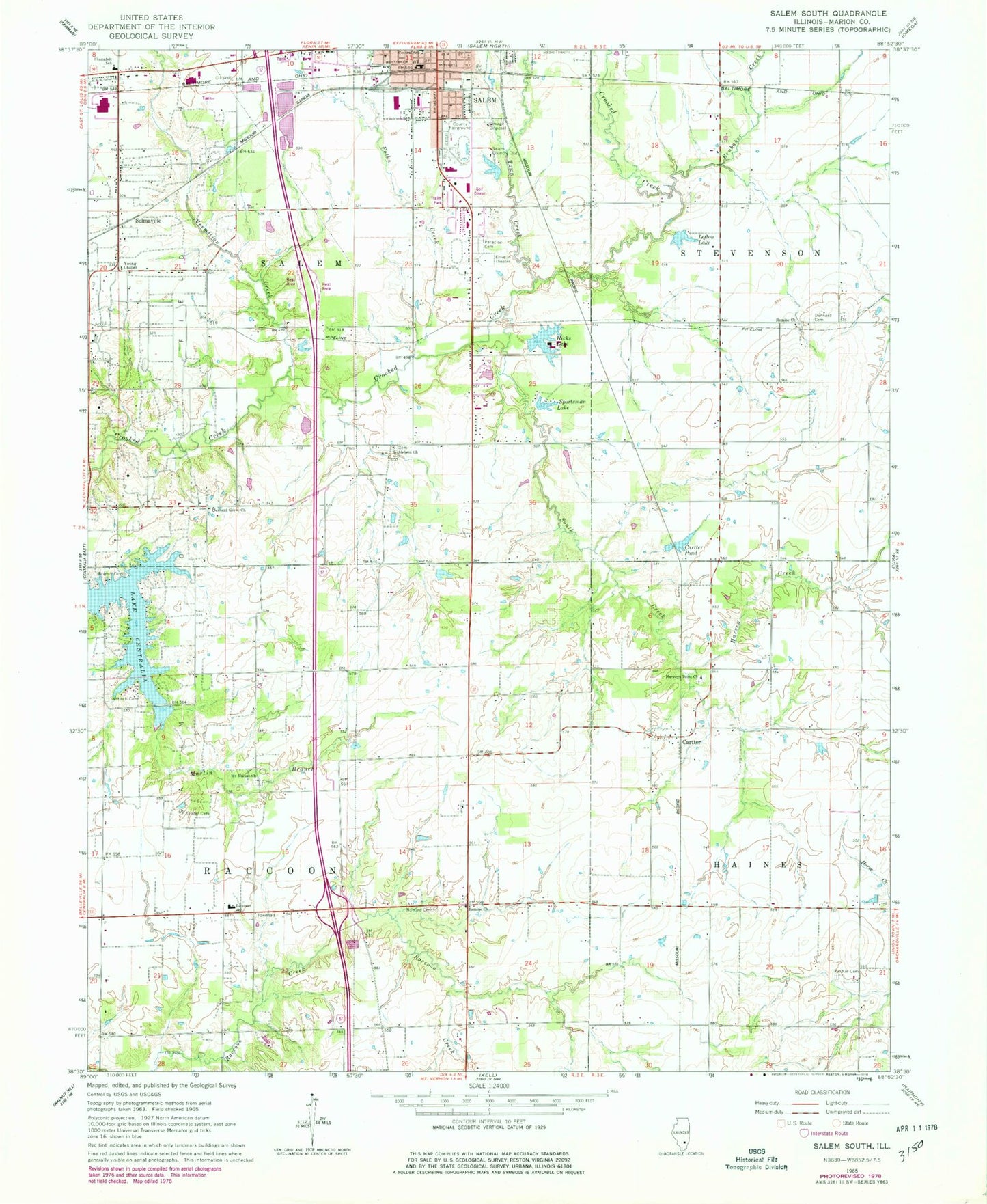
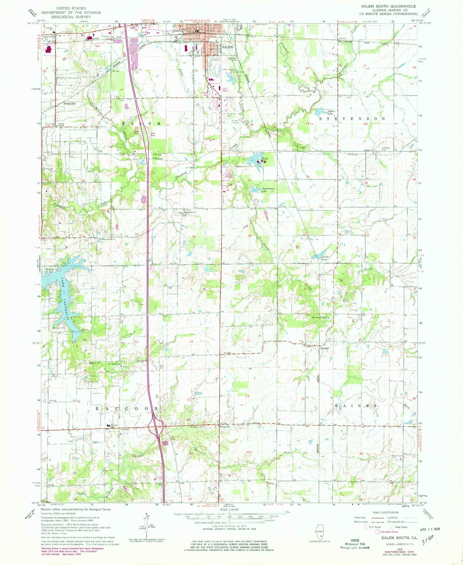
Classic USGS Salem South Illinois 7.5'x7.5' Topo Map
Couldn't load pickup availability
Historical USGS topographic quad map of Salem South in the state of Illinois. Map scale may vary for some years, but is generally around 1:24,000. Print size is approximately 24" x 27"
This quadrangle is in the following counties: Marion.
The map contains contour lines, roads, rivers, towns, and lakes. Printed on high-quality waterproof paper with UV fade-resistant inks, and shipped rolled.
Contains the following named places: Air and Medical Emergency Services, Antioch Cemetery, Bethlehem Cemetery, Bethlehem Missionary Baptist Church, Branch Cemetery, Broadway Christian Church, Brubaker Creek, Cartter, Cartter Pond, Cartter Pond Dam, Cartter Post Office, Central School, Dunkard Cemetery, East Nation School, Excelsior School, First General Baptist Church, Folks Creek, Foxville, Gaston Grove Church, Harvey Creek, Harveys Point Cemetery, Harveys Point Church, Harveys Point School, Hecks Lake, Hecks Lake Dam, Huff School, Lofton Lake, Marion County Fairground, Martin Branch, Mercer School, Mount Moriah Cemetery, Mount Moriah Church, Paradise Cemetery, Pleasant Grove Church, Purdue Cemetery, Raccoon School, Raccoon Townhall, Rainey School, Ray School, Romine Church, Romine Church of the Brethren, Romine Prairie Cemetery, Romine School, Salem Church of God, Salem Country Club, Salem Drive-In, Salem Fire Protection District Omar Squibb Training Facility, Salem Landfill, Salem Post Office, Salem Sewage Treatment Plant, Selmaville, Shanafelt School, Southside School, Sportsman Lake, Sportsman Lake Dam, Synder Cemetery, Telford School, Town Creek, Township of Raccoon, Township of Salem, Vermilion Creek, WCEE-TV (Mount Vernon), WJBD-FM (Salem), Youngs Chapel Christian Church, ZIP Code: 62853


