MyTopo
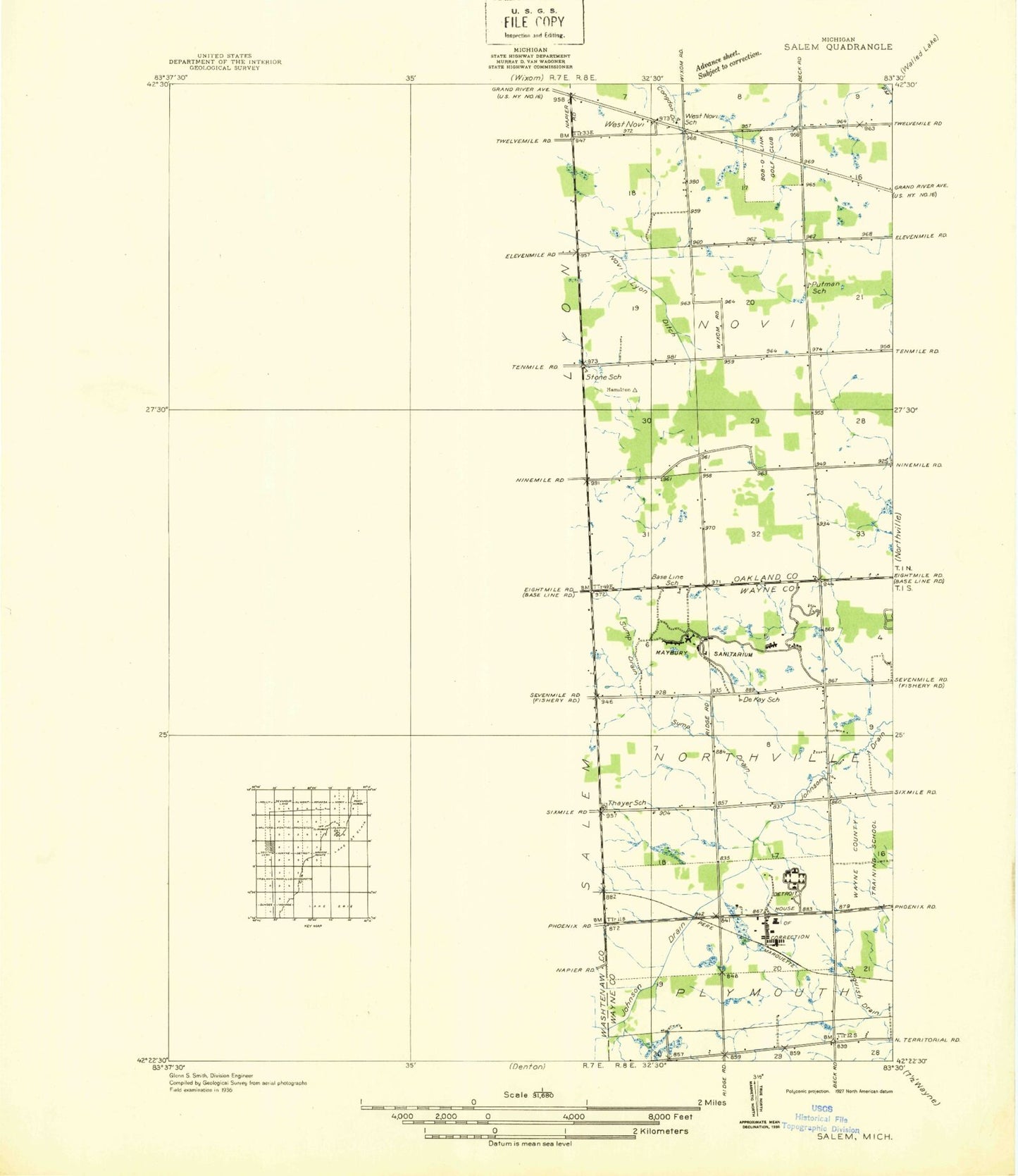
Classic USGS Salem Michigan 7.5'x7.5' Topo Map
Couldn't load pickup availability
Historical USGS topographic quad map of Salem in the state of Michigan. Map scale may vary for some years, but is generally around 1:24,000. Print size is approximately 24" x 27"
This quadrangle is in the following counties: Oakland, Washtenaw, Wayne.
The map contains contour lines, roads, rivers, towns, and lakes. Printed on high-quality waterproof paper with UV fade-resistant inks, and shipped rolled.
Contains the following named places: Ascension Providence Hospital - Novi Campus, Blackwood Drain, Bob-O-Link Golf Club, Brae-Burn Golf Club, Briar Pointe Plaza Shopping Center, Brookville, Cattails Golf Club, Charter Township of Lyon, Colonel Samuel White Historical Marker, Colonel Samuel White Homestead Historical Marker, Deerfield Elementary School, Detroit House of Correction, Henry Ford Hospital Medical Center - Plymouth, Huron Valley Ambulance Wixom, Lake Angela, Lapham Cemetery, Links of Novi, Lyon Township Cemetery, Lyon Township Fire Department Station 2, Marbury State Park, Marbury State Park Headquarters, Maybury Sanitarium, Maybury State Park, Missionary Baptist Church, Moraine School, Northville Gas Storage Field, Northville Township Fire Department Station 2, Northville Water and Sewer Building, Novi City Park, Novi Fire Department Station 4, Novi Lyon Drain, Novi Middle School, Our Lady of Providence School, Plymouth Post Office, Plymouth Township Fire Department Station 3, Providence Medical Center - Providence Park, River Bank Golf Course, Salem, Salem - Walker Cemetery, Salem Bible Church, Salem Elementary School, Salem Hills Golf Club, Salem Post Office, Salem Station, Salem Township Fire Department, Scott Regional Prison, South Lyon East High School, Sump Drain, Tanglewood Golf Club, Thayer Cemetery, Thornton Creek Elementary School, Township of Salem, Walnut Creek Golf Club, West Market Square Shopping Center, West Novi Post Office, West Salem Church, William Allan Academy, ZIP Codes: 48167, 48168, 48374


