MyTopo
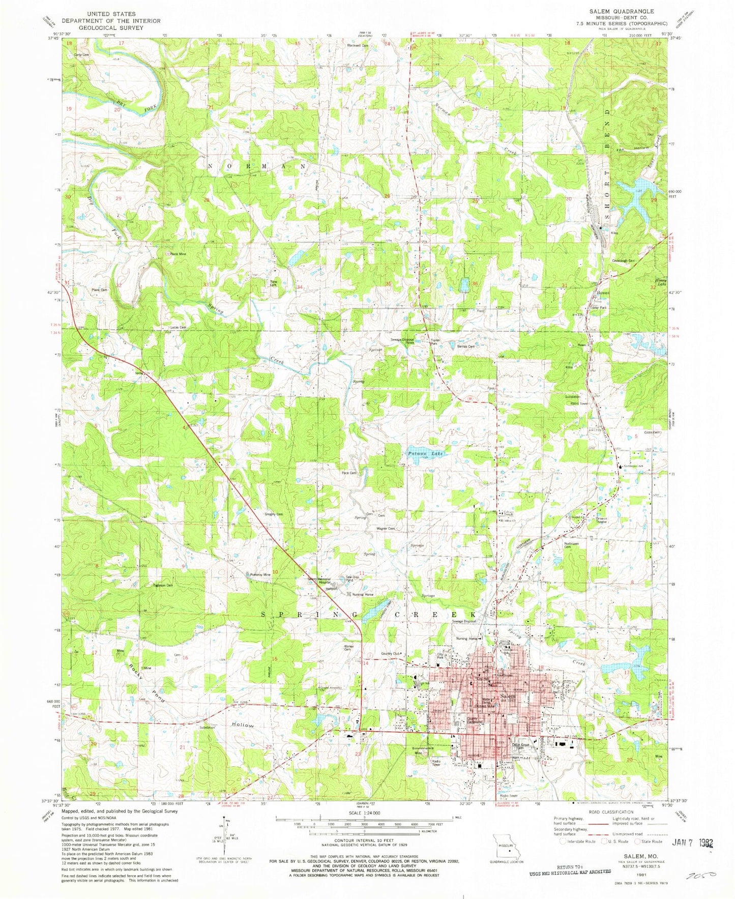
Classic USGS Salem Missouri 7.5'x7.5' Topo Map
Couldn't load pickup availability
Historical USGS topographic quad map of Salem in the state of Missouri. Map scale may vary for some years, but is generally around 1:24,000. Print size is approximately 24" x 27"
This quadrangle is in the following counties: Dent.
The map contains contour lines, roads, rivers, towns, and lakes. Printed on high-quality waterproof paper with UV fade-resistant inks, and shipped rolled.
Contains the following named places: Arrowhead Lake Upper Dam, Arrowhead Lakes Lower Dam, Barnes Cemetery, Bass Dam, Bass Lake, Blackwell Cemetery, Calvary Temple, Carty Cemetery, Cavanaugh Cemetery, Cedar Grove Cemetery, Cedar Grove Church, City of Salem, Crossroads Shopping Center, Deep Ford, Deep Ford School, Dent County Fairground, Dent County Fire Protection District, Dent County Sheriff's Office, Earls, Finch Park, Fox Hollow, Full Gospel Church, Gibbs Cemetery, Gospel Assembly Church, Gregory Cemetery, Howes, KMMC-FM (Salem), Knob View School, Knobview Church, KSMO-AM (Salem), Lake Turner, Lake Turner Dam, Lake Ziske, Lake Ziske Dam, Lennox Bank, Loss Lake, Loss Lake Dam, Lucas Cemetery, Lynch School, Mark Twain National Forest Salem Ranger Fire District, Mathes Lake, Middle School, Missouri Department of Conservation Forestry Ozark Regional Field Fire Office Salem, Mononame 116 Reservoir, Mononame 18 Dam, Moser School, Mount Olive Church, North Lawn Cemetery, North Whiteoak School, Northwood School, Oak Ridge School, Orchard Mine, Pace Cemetery, Plank Bank, Plank Cemetery, Pomeroy Mine, Putman Dam, Putman Lake, Salem, Salem Memorial District Hospital, Salem Memorial Hospital Heliport, Salem Police Department, Salem Post Office, Simmons Hill Mine, Spring Creek, Spring Creek School, Street Lake Dam, Tacoma, Togleson Cemetery, Township of Norman, Township of Spring Creek, Township of Spring Creek West, Tune Cemetery, Wagner Cemetery, Walker Cemetery, West Ozark School, West Shady Grove School


