MyTopo
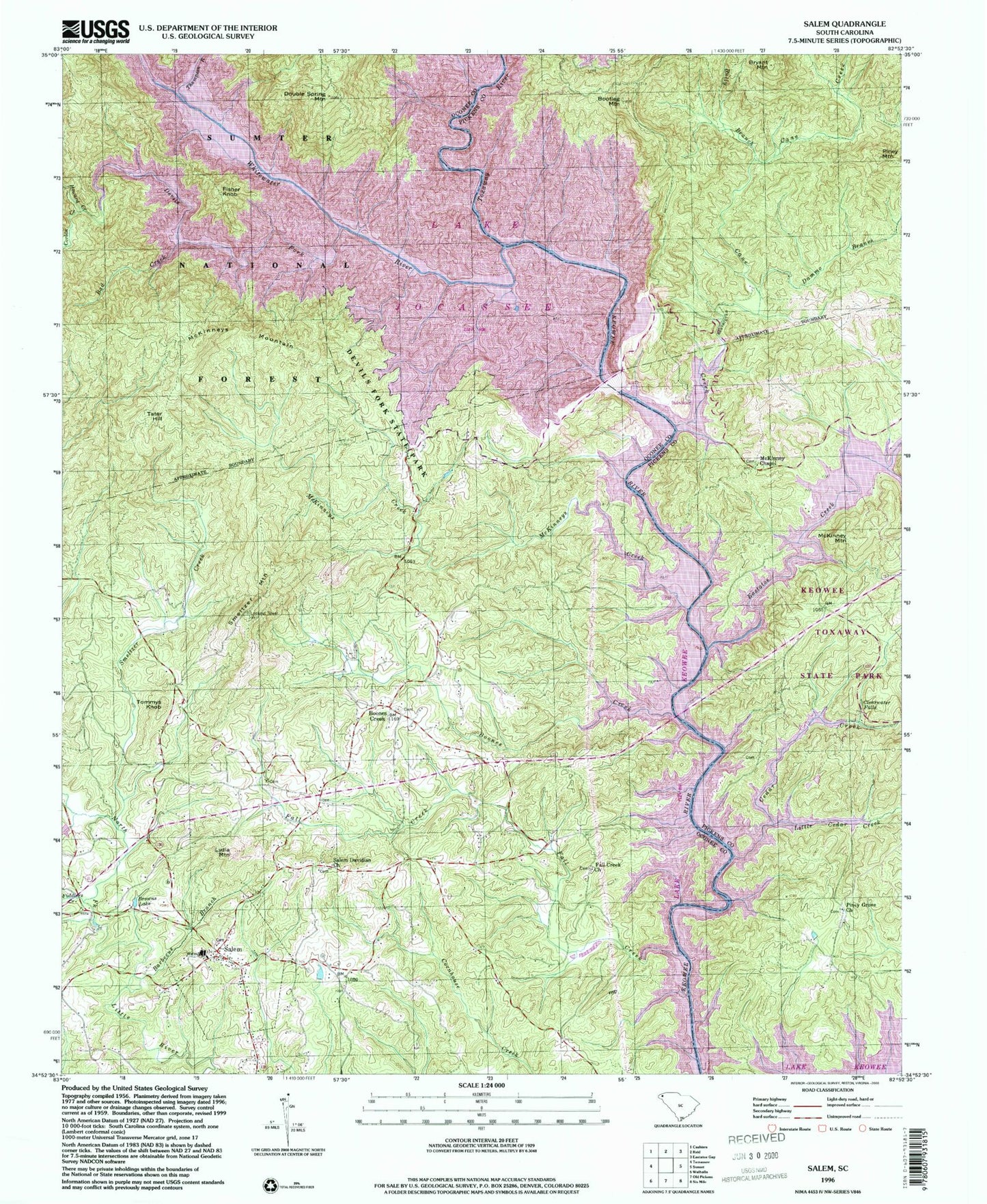
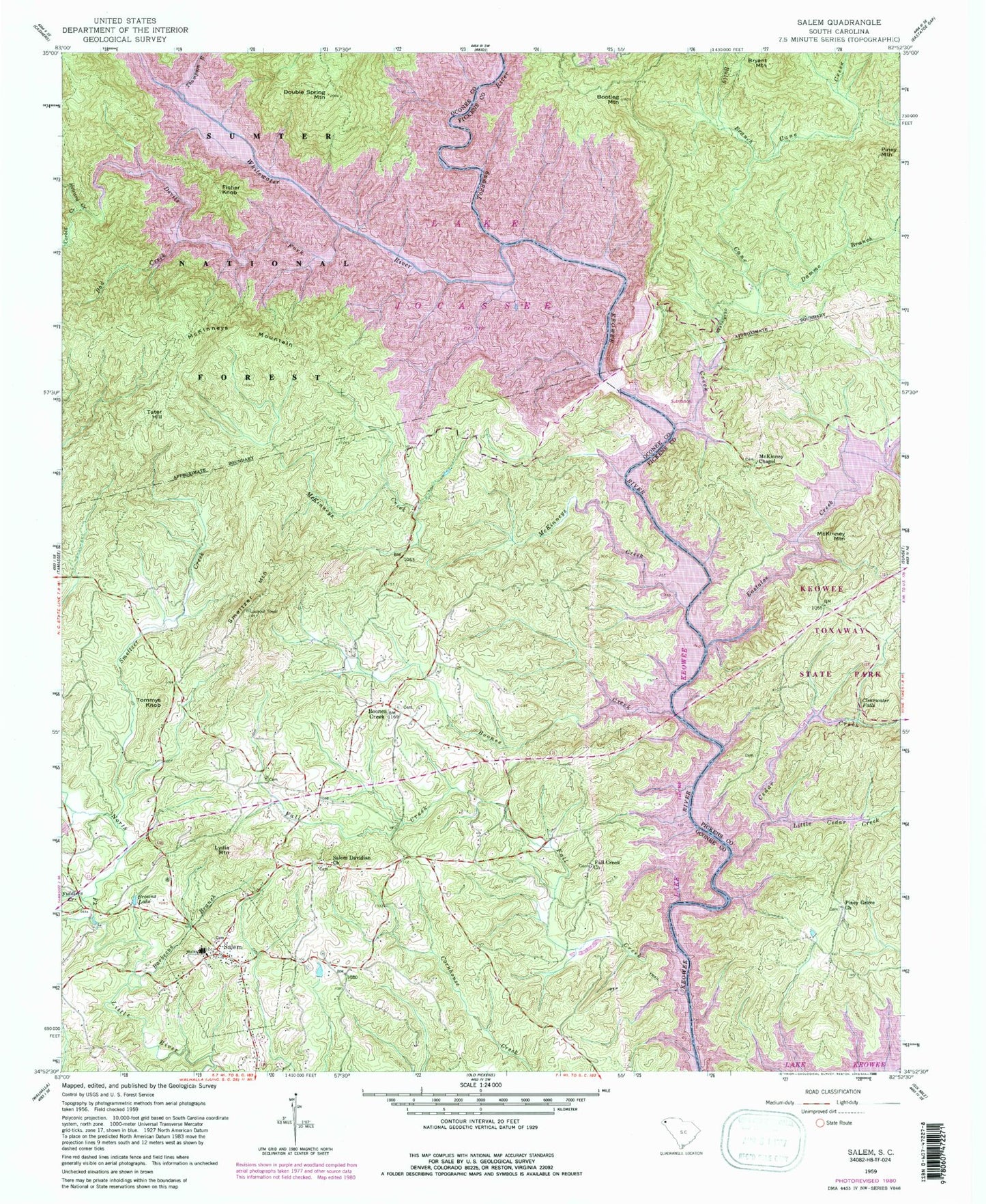
Classic USGS Salem South Carolina 7.5'x7.5' Topo Map
Couldn't load pickup availability
Historical USGS topographic quad map of Salem in the state of South Carolina. Map scale may vary for some years, but is generally around 1:24,000. Print size is approximately 24" x 27"
This quadrangle is in the following counties: Oconee, Pickens.
The map contains contour lines, roads, rivers, towns, and lakes. Printed on high-quality waterproof paper with UV fade-resistant inks, and shipped rolled.
Contains the following named places: Bad Creek, Barbecue Branch, Bethel Baptist Church, Bethel Church Graveyard, Betsy Akin Branch, Boone Creek School Number 1, Boone Creek School Number 2, Boones Creek, Boones Creek Baptist Church Graveyard, Boones Creek Church, Bootleg Mountain, Browns Lake, Bryant Mountain, Bully Branch, Camp Jocassee, Cane Creek, Cane Creek School, Cedar Creek, Chapman Bridge, Church of God, Clearwater Falls, Corbin Creek, Dammo Branch, Devils Fork, Double Spring Mountain, Eastatoe, Eastatoe Creek, Fall Creek, Fall Creek Baptist Church, Fall Creek Baptist Church Graveyard, Fiddlers Creek, Fisher Knob, Hemlock Club, Howard Creek, Jocassee, Jocassee Dam, Jocassee Post Office, Jocassee School, Keowee School, Keowee Toxaway State Park, Lake Jocasse, Lake Jocassee, Little Cedar Creek, Lydia Mountain, McKenneys Ford, McKinney Chapel, McKinney Chapel Cemetery, McKinney Mountain, McKinneys Creek, McKinneys Mountain, Mina-Tonka Lodge, Mount Carmel Cemetery, Mount Carmel Church, Piney Grove Church, Piney Mountain, Poe Creek, River View Lodge, Rochester Little Lake Dam D-1523, Salem, Salem Davidian Church, Salem Division, Salem First Baptist Church Graveyard, Salem United Methodist Church Cemetery, Salem Volunteer Fire Department, Shallow Ford Bridge, Smeltzer Creek, Smeltzer Mountain, Smeltzer School, South Carolina Noname 39018 Dam, Tamassee/Salem Middle-High School, Tater Hill, Thompson River, Tommys Knob, Town of Salem, Toxaway Lake, Toxaway River, Whitewater River, ZIP Code: 29676


