MyTopo
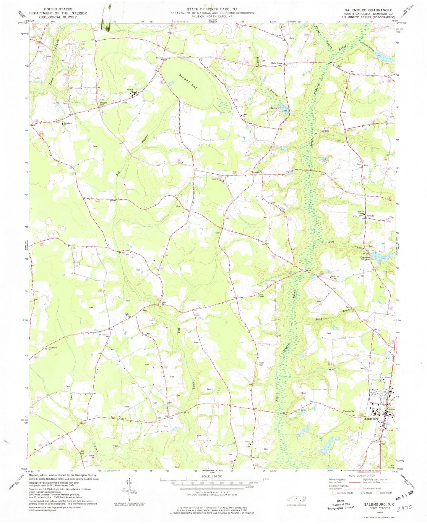
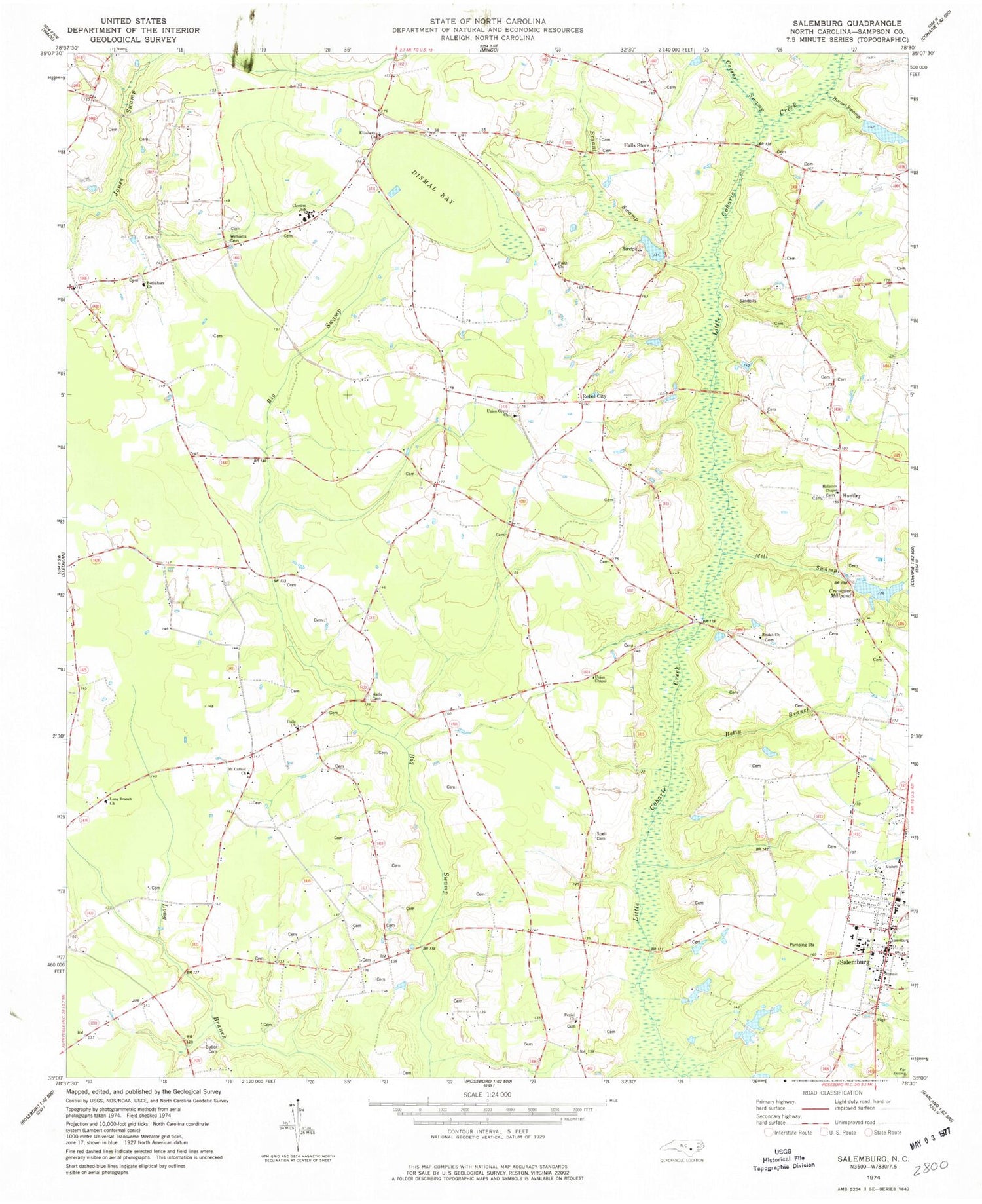
Classic USGS Salemburg North Carolina 7.5'x7.5' Topo Map
Couldn't load pickup availability
Historical USGS topographic quad map of Salemburg in the state of North Carolina. Map scale may vary for some years, but is generally around 1:24,000. Print size is approximately 24" x 27"
This quadrangle is in the following counties: Sampson.
The map contains contour lines, roads, rivers, towns, and lakes. Printed on high-quality waterproof paper with UV fade-resistant inks, and shipped rolled.
Contains the following named places: Bethabara Church, Betty Branch, Beulah Church, Bryant Swamp, Butler Cemetery, Caesar Swamp, Clement School, Clement Volunteer Fire Department, Crumpler Millpond, Dismal Bay, Elizabeth Church, Faith Church, Halls Cemetery, Halls Church, Halls Crossroads, Halls Store, Hays Mill, High House Bridge, Hollands Chapel, Hornet Swamp, Huntley, Long Branch Church, Mathews Pond, Matthew Pond Dam, McLambs Pond, McLambs Pond Dam, Mill Swamp, Minson M Williams Memorial Cemetery, Mount Carmel Church, Oakhurst School, Oakview School, Peniel Church, Rebel City, Salemburg, Salemburg Elementary School, Salemburg Post Office, Salemburg Volunteer Fire Department, Shady Mill, Spell Cemetery, Town of Salemburg, Township of Dismal, Triple F Airpark, Underwoods Store, Union Chapel, Union Grove Church, Welcome School, ZIP Code: 28318


