MyTopo
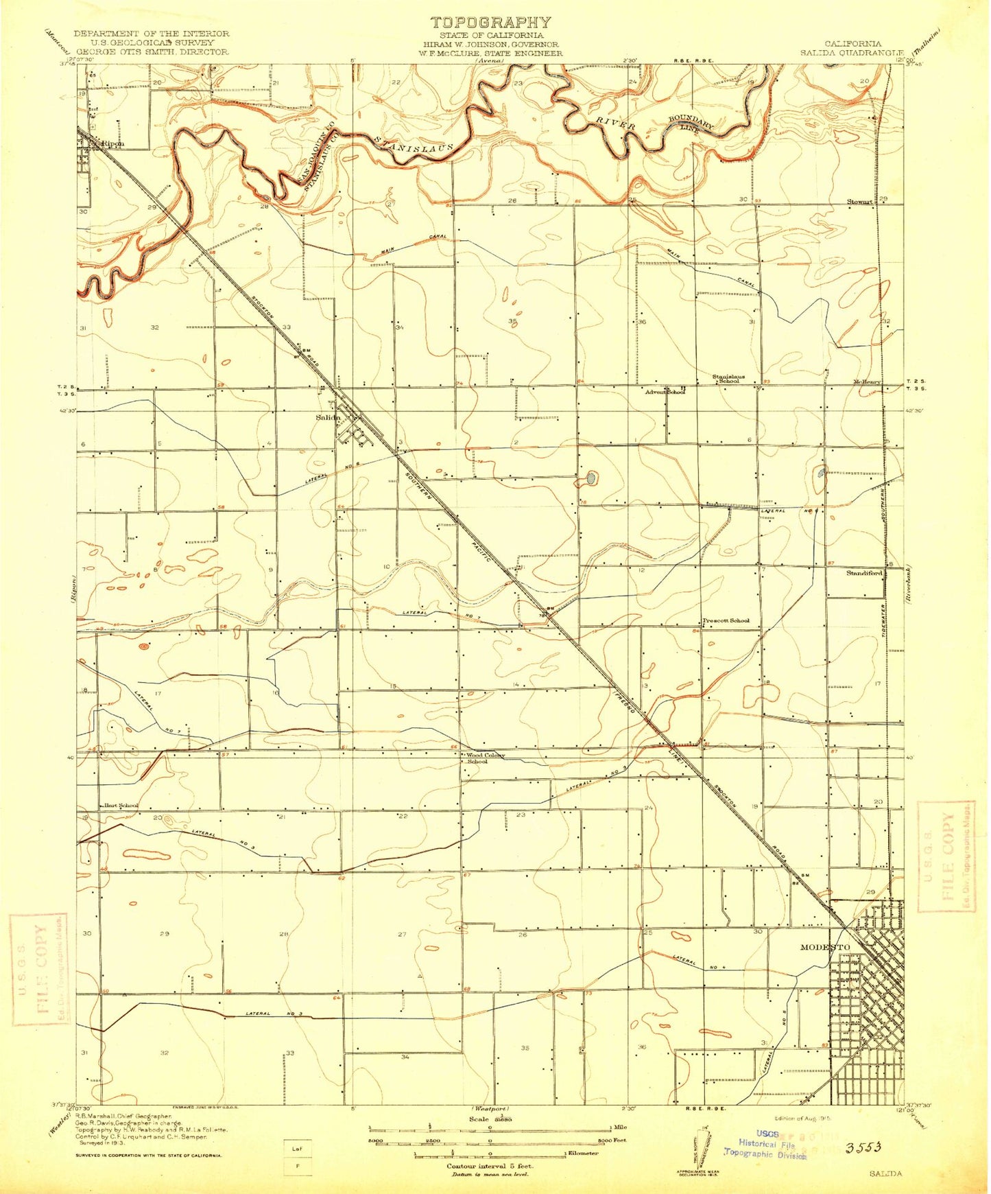
Classic USGS Salida California 7.5'x7.5' Topo Map
Couldn't load pickup availability
Historical USGS topographic quad map of Salida in the state of California. Map scale may vary for some years, but is generally around 1:24,000. Print size is approximately 24" x 27"
This quadrangle is in the following counties: San Joaquin, Stanislaus.
The map contains contour lines, roads, rivers, towns, and lakes. Printed on high-quality waterproof paper with UV fade-resistant inks, and shipped rolled.
Contains the following named places: Advent School, Alberta Martone Elementary School, American Medical Response, Aurora, Big Valley Christian School, Briggsmore Plaza Shopping Center, California Highway Patrol Central Division Modesto, Catherine Everett Elementary School, Central Catholic High School, Central Valley Plaza Shopping Center, Chrysler Park, Church of Christ, City of Modesto, Clarence Smit Museum, Clinton African Methodist Episcopal Zion Church, College Shopping Center, Crossroad Shopping Center, Davis Community Park, Del Rio, Del Rio Census Designated Place, Del Rio Golf and Country Club, Eisenhut Elementary School, Eisenhut Park, Elihu Beard Elementary School, Elk Park, Enslen Elementary School, Ethel Pearson Elementary School, Fire Station Number 4, First Baptist Church, First Church of God, First Church of the Brethren, First Methodist Episcopal Church, Franklin Elementary School, Garrison Elementary School, Garrison Park, Grace Davis High School, Gregory Gardens Shopping Center, Hart - Ransom Elementary School, Hart School, James Marshall Park, John Fremont Elementary School, Josephine Chrysler Elementary School, King-Kennedy Center, Lateral Number Four, Lateral Number Seven, Lateral Number Six, Lateral Number Three, Maddux Youth Center, Madesto Police Department Substation, Maric College - Modesto, Mark Twain Junior High School, Mark Twain Park, Mavis Stouffer Park, McHenry, Mellis Park, Meyers, Mildred Perkins and Independence Charter School, Modesto Christian School, Modesto Fire Department Station 11, Modesto Fire Department Station 12, Modesto Fire Department Station 13, Modesto Fire Department Station 2, Modesto Fire Department Station 4, Modesto Fire Department Station 6, Modesto High School, Modesto Junior College East Campus, Modesto Junior College Library, Modesto Marketplace Shopping Center, Modesto Municipal Golf Course, Modesto Police Department Southwest Area, Modesto Post Office, Modesto Regional Fire Authority Station 14, Modesto State Hospital, Modesto Veterinary Hospital, Muncy Park, Nirvana Drug and Alcohol Treatment, North Hall, North McHenry, Pentecostal Church of God, Pike Park, Prescott Junior High School, Prescott School, Ripon, Ripon Cemetery, Ripon Consolidated Fire District Station 1 Headquarters, Ripona Elementary School, Rocking S Dairy Number 1, Rocking S Dairy Number 2, Roosevelt Junior High School, Roosevelt Park, Roosevelt Shopping Center, Saint Paul Missionary Baptist Church, Saint Stanislaus Catholic School, Saint Stanislaus Convent, Saint Stanislaus Roman Catholic Church, Salida, Salida Branch Stanislaus County Free Library, Salida Census Designated Place, Salida Division, Salida Elementary School, Salida Post Office, Sisk Elementary School, South Hall, Spring Creek Golf and Country Club, Standiford, Stanislaus County Juvenile Center, Stanislaus County Sheriff's Office Salida, Stanislaus Elementary School, Stanislaus Union Elementary School, Stewart, Swiss Hall, Tully Manor Shopping Center, Valley Museum, Vintage Faire Mall Shopping Center, Washington School, Wesson Ranch Park, West Side Park, Whitmore Park, Woodcolony Cemetery, Woodland Avenue Fire Department, Woodland Park, Woodrow Elementary School, Yosemite Community College District Office, ZIP Codes: 95350, 95356, 95368


