MyTopo
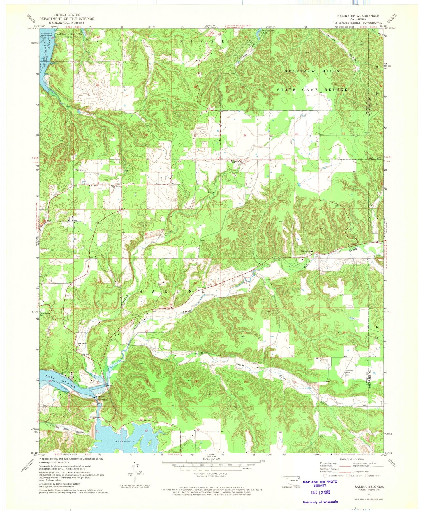
Classic USGS Salina SE Oklahoma 7.5'x7.5' Topo Map
Couldn't load pickup availability
Historical USGS topographic quad map of Salina SE in the state of Oklahoma. Map scale may vary for some years, but is generally around 1:24,000. Print size is approximately 24" x 27"
This quadrangle is in the following counties: Delaware, Mayes.
The map contains contour lines, roads, rivers, towns, and lakes. Printed on high-quality waterproof paper with UV fade-resistant inks, and shipped rolled.
Contains the following named places: Blue Springs Church, Chimney Rock Dam, Chimney Rock Reservoir, Grass Cemetery, Hoot Owl, Little Saline Creek, New Jordan Church, Pump Back, Pump Back Census Designated Place, Ross Mayes Cemetery, Saline Creek, Town of Hoot Owl, Township of Saline, Wickliffe, Wickliffe Cemetery, Wickliffe Census Designated Place, Wickliffe Creek, Wickliffe Elementary School, ZIP Code: 74365