MyTopo
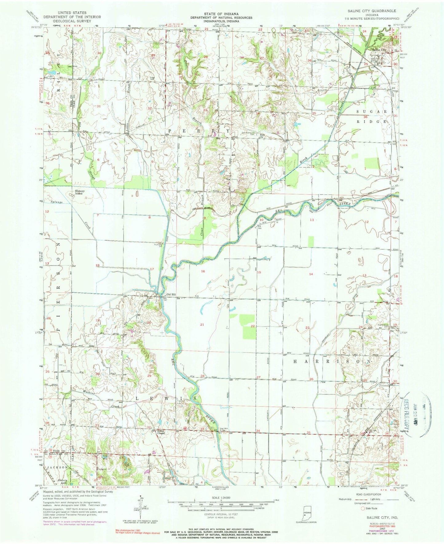
Classic USGS Saline City Indiana 7.5'x7.5' Topo Map
Couldn't load pickup availability
Historical USGS topographic quad map of Saline City in the state of Indiana. Map scale may vary for some years, but is generally around 1:24,000. Print size is approximately 24" x 27"
This quadrangle is in the following counties: Clay, Sullivan, Vigo.
The map contains contour lines, roads, rivers, towns, and lakes. Printed on high-quality waterproof paper with UV fade-resistant inks, and shipped rolled.
Contains the following named places: Big Creek, Big Slough, Birch Creek, Briley Chapel, Brush Creek, Clear Branch, Conneley Ditch, Crooked Creek, Hickory Island, Lafferty Ditch, Little Slough, Maple Grove Cemetery, Neal Mill Bridge, Old Hill, Owl Creek, Saline City, Splunge Creek, Staggs Cemetery, Turner Farms Airport, Watkins Creek, Zion Church, Zion Gummere Cemetery, ZIP Code: 47858