MyTopo
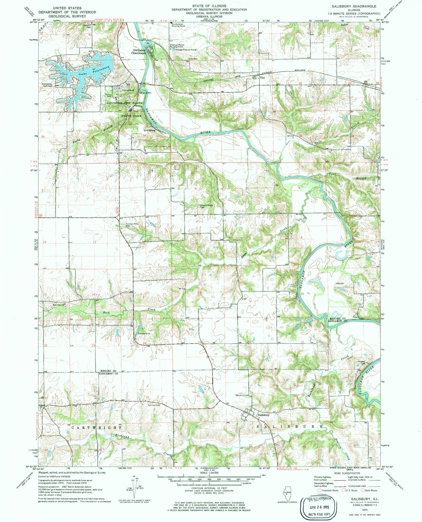
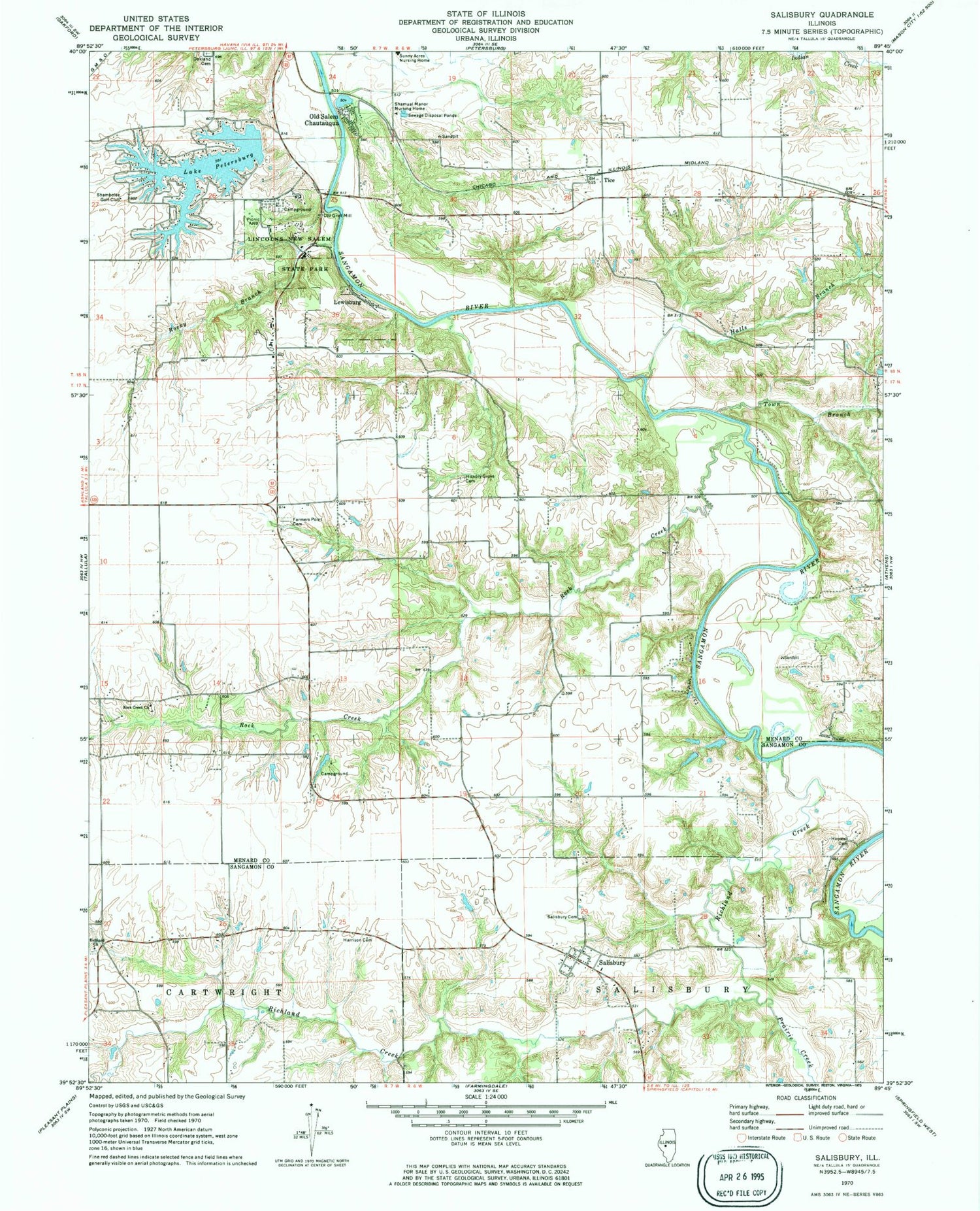
Classic USGS Salisbury Illinois 7.5'x7.5' Topo Map
Couldn't load pickup availability
Historical USGS topographic quad map of Salisbury in the state of Illinois. Map scale may vary for some years, but is generally around 1:24,000. Print size is approximately 24" x 27"
This quadrangle is in the following counties: Menard, Sangamon.
The map contains contour lines, roads, rivers, towns, and lakes. Printed on high-quality waterproof paper with UV fade-resistant inks, and shipped rolled.
Contains the following named places: Farmers Point Cemetery, Halls Branch, Harrison Cemetery, Hickory Grove Cemetery, Hopwood Cemetery, Kelso Hollow Amphitheater, Lake Petersburg, Lake Petersburg Census Designated Place, Lake Petersburg Dam, Lewisburg, Lincolns New Salem State Park, Loyd, New Salem, Old Grist Mill, Old Salem Chautauqua, Petersburg East Number 13 Election Precinct, Prairie Creek, Richland Baptist Cemetery, Richland Church, Richland Creek, Rock Creek, Rock Creek Number 12 Election Precinct, Rock Creek Presbyterian Church, Rocky Branch, Rutledge-Camron Saw and Grist Mill, Salisbury, Salisbury Cemetery, Shambolee Golf Club, Shamual Manor Nursing Home, Sunny Acres Nursing Home, Tice, Town Branch, Township of Salisbury


