MyTopo
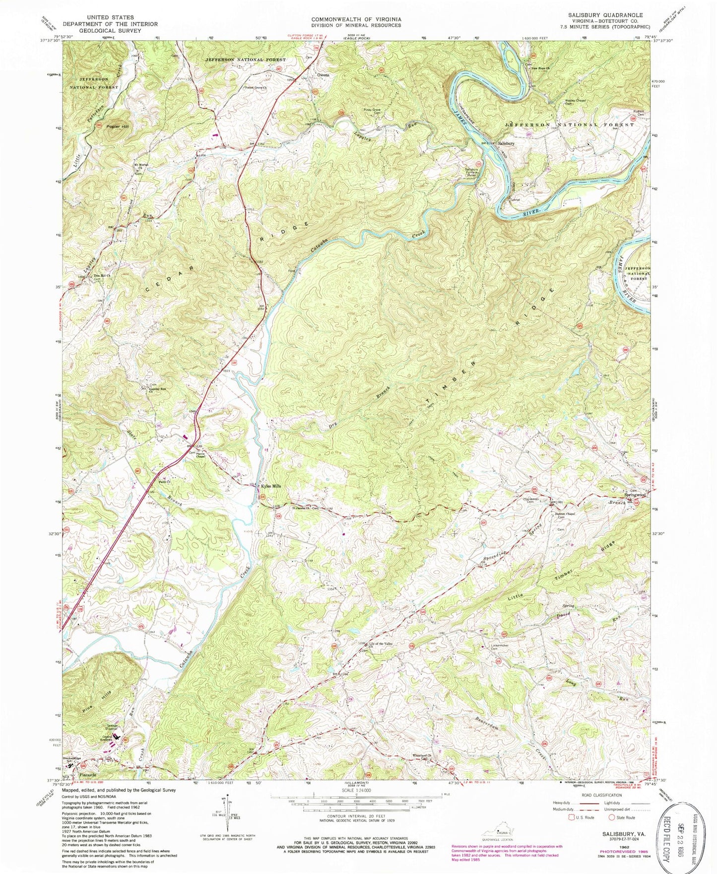
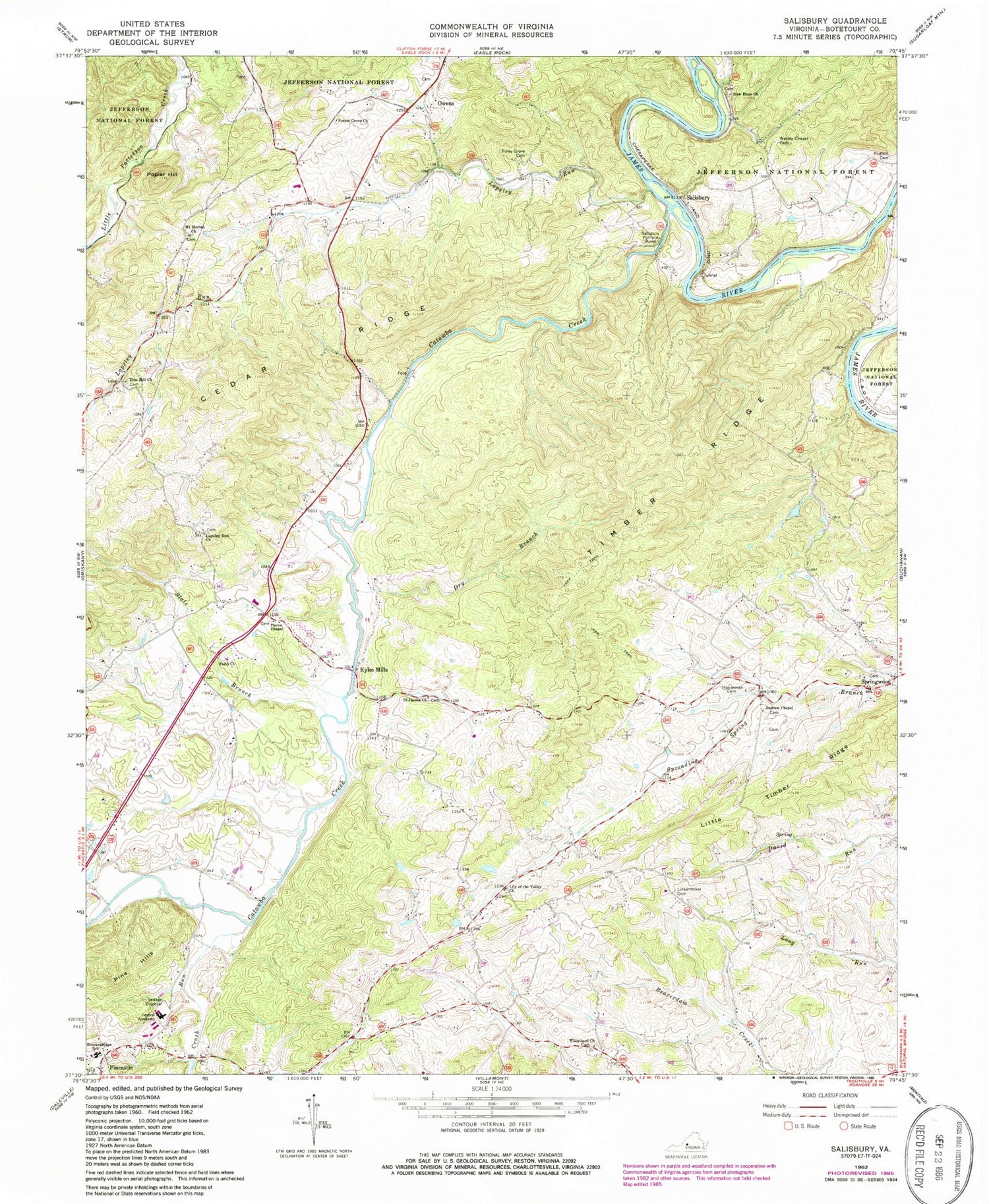
Classic USGS Salisbury Virginia 7.5'x7.5' Topo Map
Couldn't load pickup availability
Historical USGS topographic quad map of Salisbury in the state of Virginia. Typical map scale is 1:24,000, but may vary for certain years, if available. Print size: 24" x 27"
This quadrangle is in the following counties: Botetourt.
The map contains contour lines, roads, rivers, towns, and lakes. Printed on high-quality waterproof paper with UV fade-resistant inks, and shipped rolled.
Contains the following named places: Allen Creek, Andrew Chapel, Breckinridge Elementary School, Catawba Creek, Cedar Ridge, Central Academy Middle School, Crush Run, Dry Branch, Faith Church, Forest Grove Church, Houseman Cemetery, Kyles Mills, Lapsley Run, Lapsley Run Church, Lily of the Valley Church, Linkenhoker Cemetery, Little Timber Ridge, Mount Moriah Church, New Hope Church, Owens, Pierce Chapel, Piney Grove Cemetery, Poplar Hill, Rudisill Cemetery, Saint Jacobs Church, Salisbury, Salisbury Furnace, Zion Hill Church, Slate Branch, Timber Ridge, Wesley Chapel Cemetery, Wheatland Church, Pine Hills, Comptons Bridge (historical), Oak Grove School (historical), Valley School (historical), Bearwallow School (historical), High View School (historical), Botetourt (historical), Forest Grove School (historical), Poplar Grove School (historical), Botetourt County, Burkeston (historical), Town of Fincastle, Botetourt Technical Education Center, Fincastle Airport


